Start: 7:21 AM
Finish: 3:25 PM
Saddle Time: 6:02
Ascent: 261 feet
Descent: 107 feet
Miles: 83
Total Miles: 2,799
Highlight: No headwind!
Lowlight: Short but steep rolling hills on the way into Wabash. I haven’t seen a hill in about a week.
Cyclemeter: Follow this link to see the data I’m collecting with the cyclemeter app. You can see gps information, speed, elevation, distance, cadence and heart rate. Better viewed on a computer where it’s easier to play around with the graphs.
A few weeks ago I talked about how the wind can make all the difference between a great and terrible day of riding. To me it matters more than just about anything except maybe traffic. Today and yesterday are good examples. Today’s ride was on the same roads as yesterday but was much more enjoyable all because the wind wasn’t strong. I even had a tailwind later in the day!
Another win for Google. My Bicycle Route app mapped todays ride at 93 miles while Google saved me 10 miles. Most of the difference was at the beginning and end of the day. Both last nights and tonights motels are several miles off route. The Bicycle Route app tends to give you the shortest path to and from the route not necessarily the shortest path for the days ride. Google overlapped with the northern tier for most of the day but the northern tier stepped up north mid route likely to hit another town which I avoided.
My first and only town stop was at 30 miles in Buffalo, Indiana at a local gas station convenience store. They normally serve hot food but I was too early so I grabbed a refrigerated sandwich and of course a bottle of Gatorade. It’s cool and dry so I really don’t need Gatorade today but I crave at least one bottle a day, I guess to keep my blood rich in Gator juice.
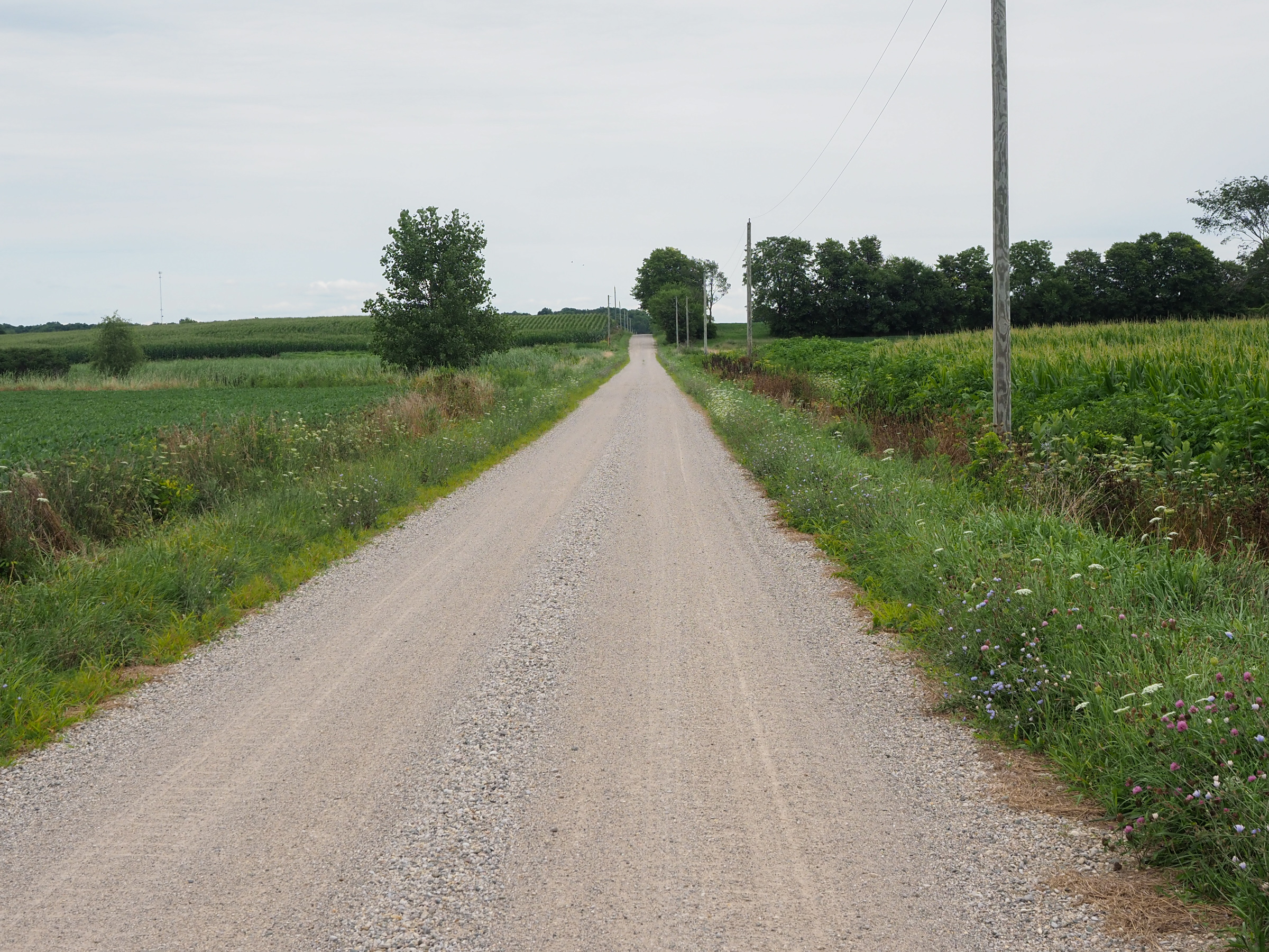
Soon after setting off again the wind started to shift from the north to the west. I now had a tailwind! Not strong but also not a headwind, very rare for me on this tour. I was making decent time until I hit a dirt road. I debated navigating around but decided to proceed, it look well packed and not gravely so the riding should be acceptable. It ended up being fine and only last a few miles.
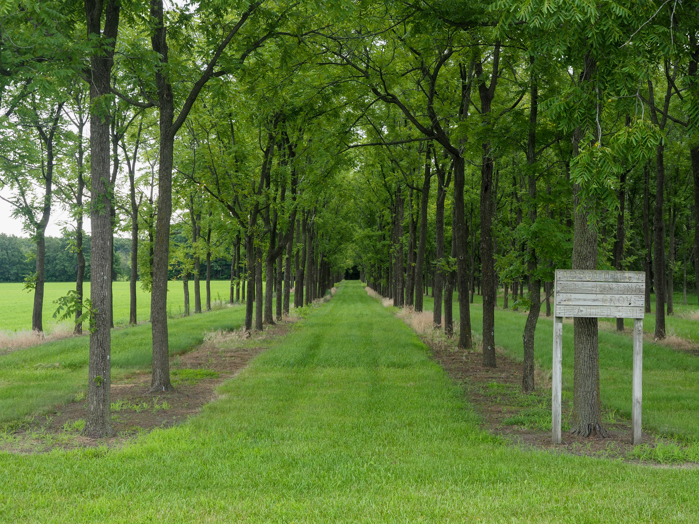
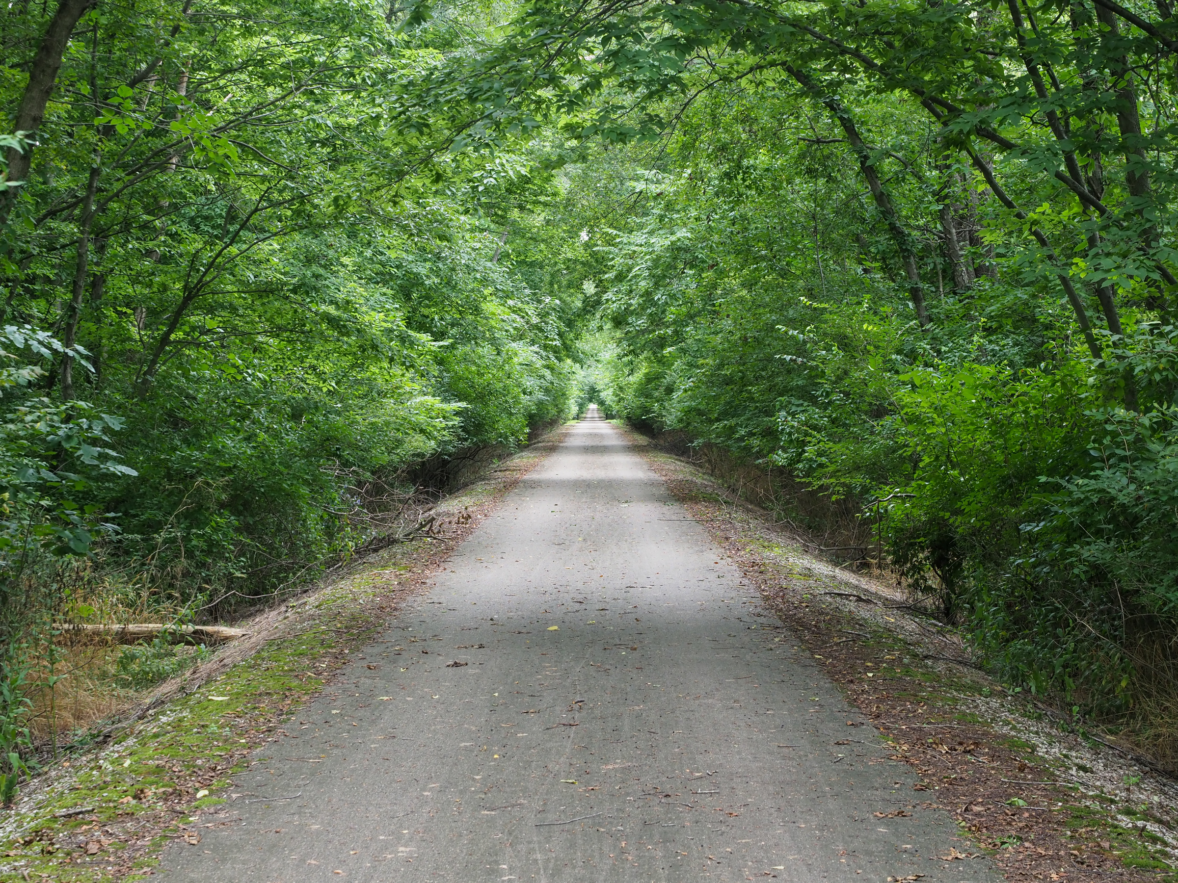
I hit a stretch or rail trail about 15 miles from my destination. It wasn’t long, only about 5 miles, but I haven’t been on one since Minnesota. The trail had a tunnel like effect with trees creating a canopy over the trail.
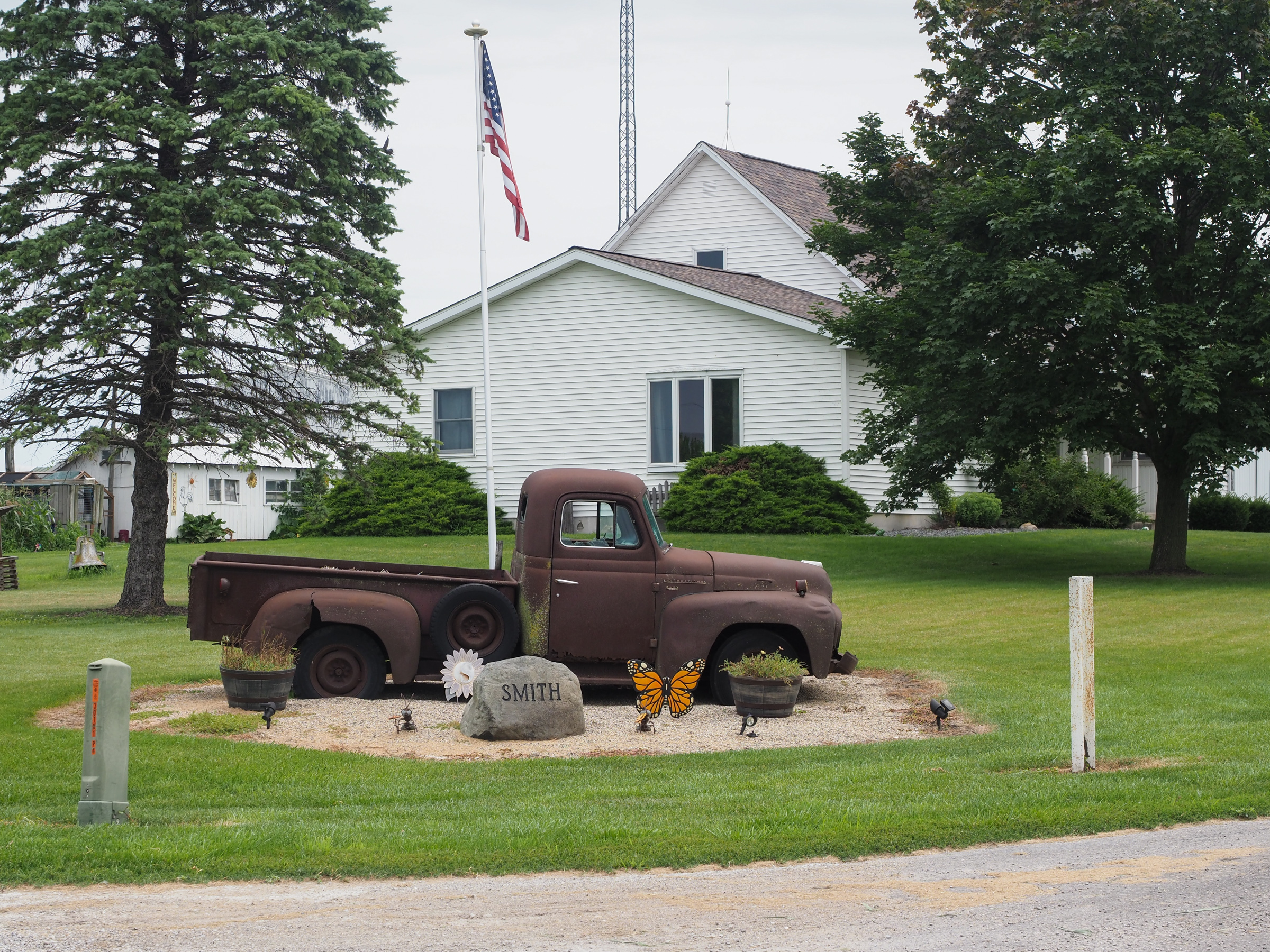
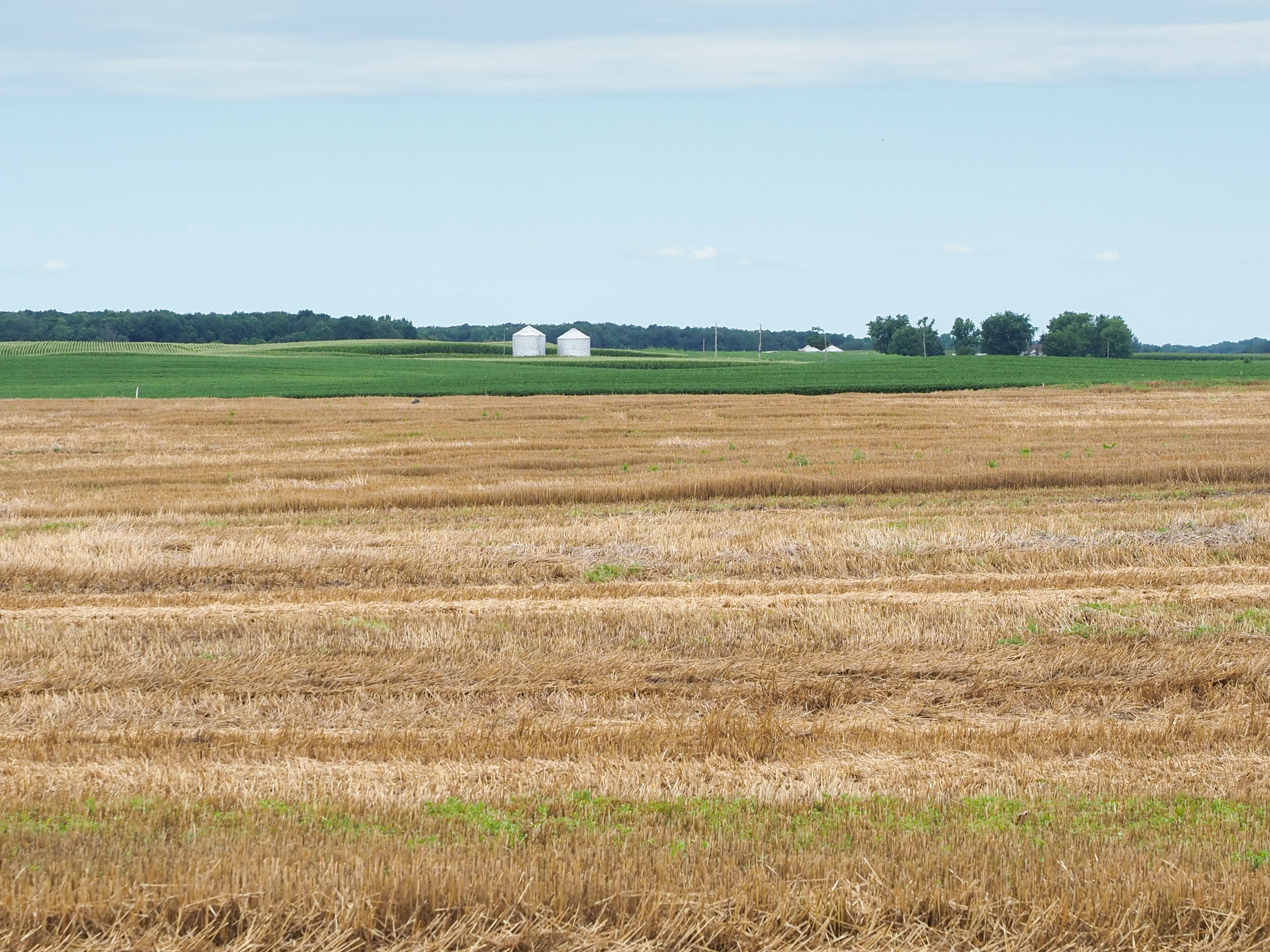
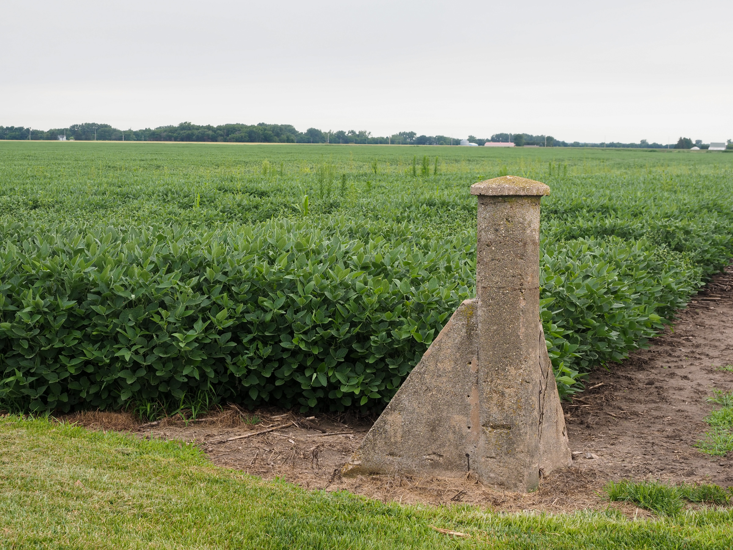
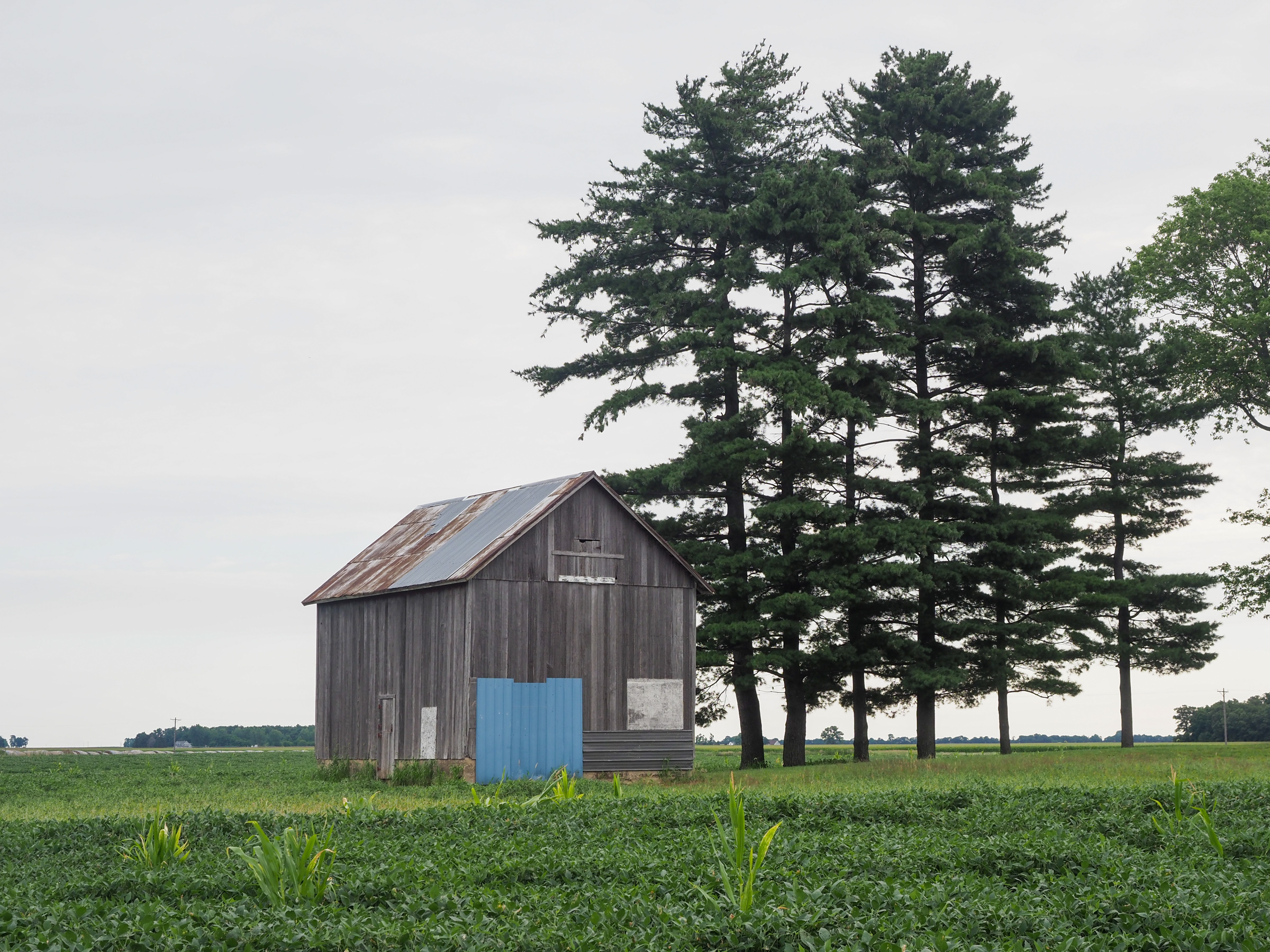
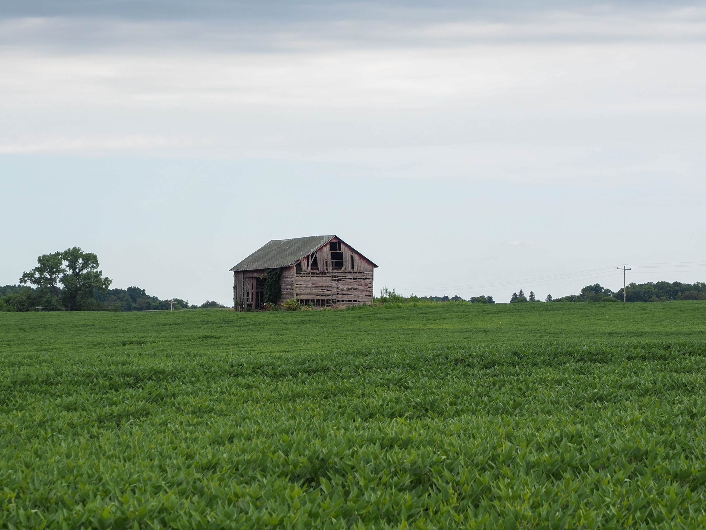
I passed several old farms, both houses and barns, that clearly have been abandoned. I’m speaking largely out of ignorance here but from what I understand there has been a lot of consolidation in farming over the years. Many of the farms are actually leased by large corporations. Farms are also being bought up by large corporations and private individuals intending to lease the land. Bill Gates is the largest private farm owner in the country. I guess it makes sense, he needs secret locations to make the microchips he puts in the covid vaccines.
Speaking of covid, I’m starting to see masks again. I assume it’s because of my proximity to Chicago. With few exceptions I’ve seen none since Republic, Washington. By none I don’t mean I rarely saw masks, I mean I’ve seen literally zero other than in Whitefish, Montana which is a tourist town, Bismarck, North Dakota, one of the larger towns I rode through, and Minneapolis, the only real city I rode through. Take this as you will, I just find it interesting. I’m vaccinated so I’m not wearing a mask but when I left home most people were still wearing masks even if vaccinated. I wore one but mainly because I didn’t want to look like I watch Tucker Carlson. I’m sure by now that number has flipped but I’ll bet it’s not zero.
Tomorrow is a short day, I think under 60 miles which is good because I need to spend some time route planning and making reservations through next weekend when I’ll be in the Buffalo, NY area. Based on my Google Maps experience I may lean more towards following Googles directions rather than sticking to the actual northern tier. I’ll still roughly follow the northern tier and likely overlap a lot but I’ve been very happy with Google’s road choices.