Start: 7:33 AM
Finish: 5:00 PM
Saddle Time: 7:29
Ascent: 1,347 feet
Descent: 1,646 feet
Miles: 87
Total Miles: 2,450
Highlight: Using Google to reroute and eliminate about 15 miles of riding.
Lowlight: Using Google to reroute to eliminate 5 miles of riding only to find dirt roads where I could only ride <8 MPH
Cyclemeter: I had a gap in todays cyclemeter which I tried to correct in the above stats. Follow this link to see the data I’m collecting with the cyclemeter app. You can see gps information, speed, elevation, distance, cadence and heart rate. Better viewed on a computer where it’s easier to play around with the graphs.

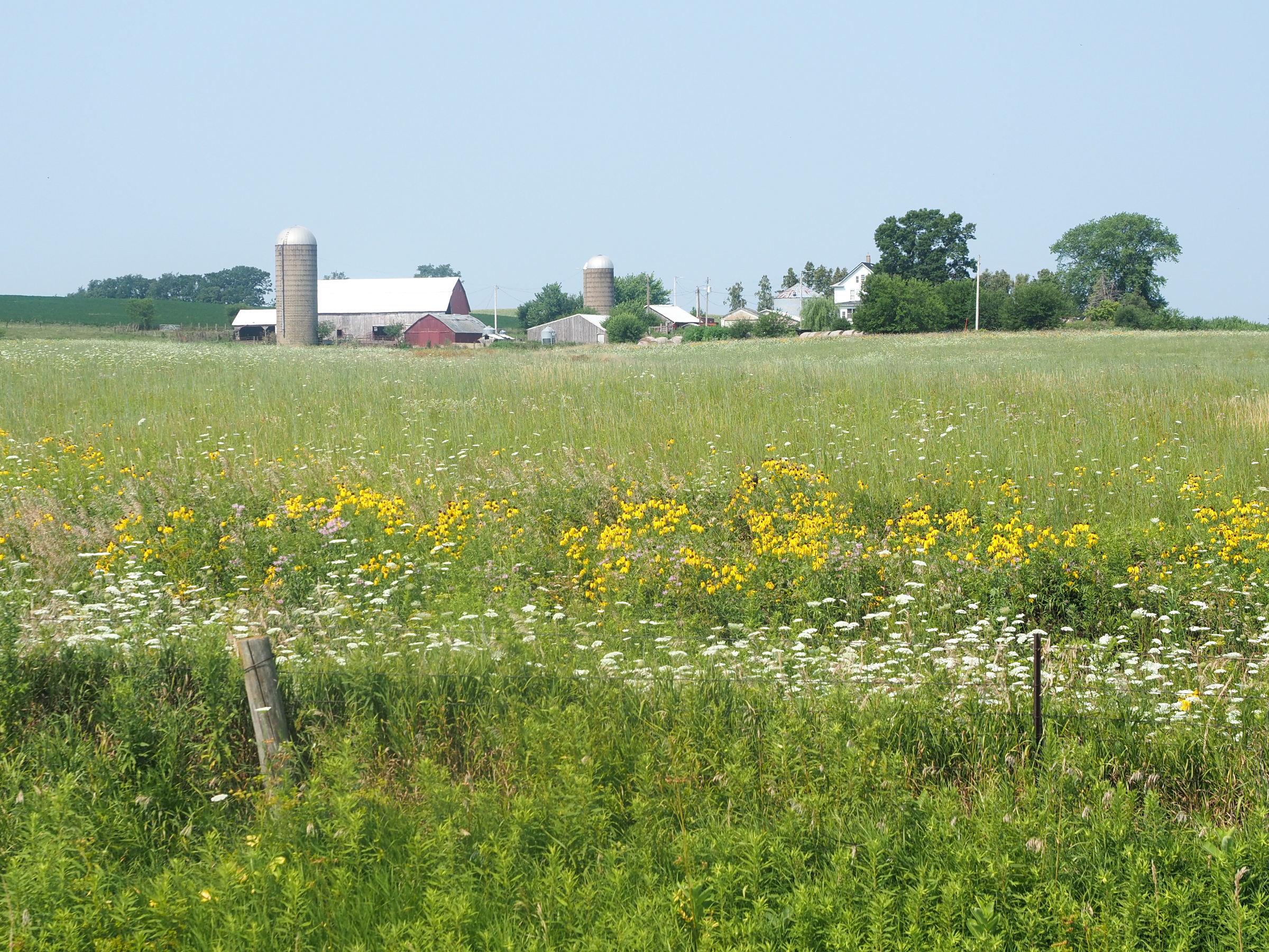
Today was supposed to be a big mileage day of 98 miles but I realized I’m on the south side of town and the route passes the north side of town before making a loop east then heads south. Google suggested a route that went due south saving me a good 15 miles of riding. The loop east was to visit the Field of Dreams but I don’t need to see a baseball field that bad.
Last night I prepared for an early start by picking up a Subway sandwich I put in my motel fridge for breakfast and set my alarm for 5:00am. In the intervening hours I realized my ride would be shorter so I took some time in the morning, getting out yesterdays blog, so I didn’t leave until 7:30.

My Google route out of town was great, typical Iowa roads with no shoulder or a unusable shoulder but traffic wasn’t too bad. I rejoined the route after about 15 miles and continued for another 20 miles to Wyoming. Locals made a joke that now I can say I visited Wyoming on my tour. Another guy came up to me and talked for a long while about his motorcycle rides in the area and gave me some pointers about heading east and avoiding Chicago.
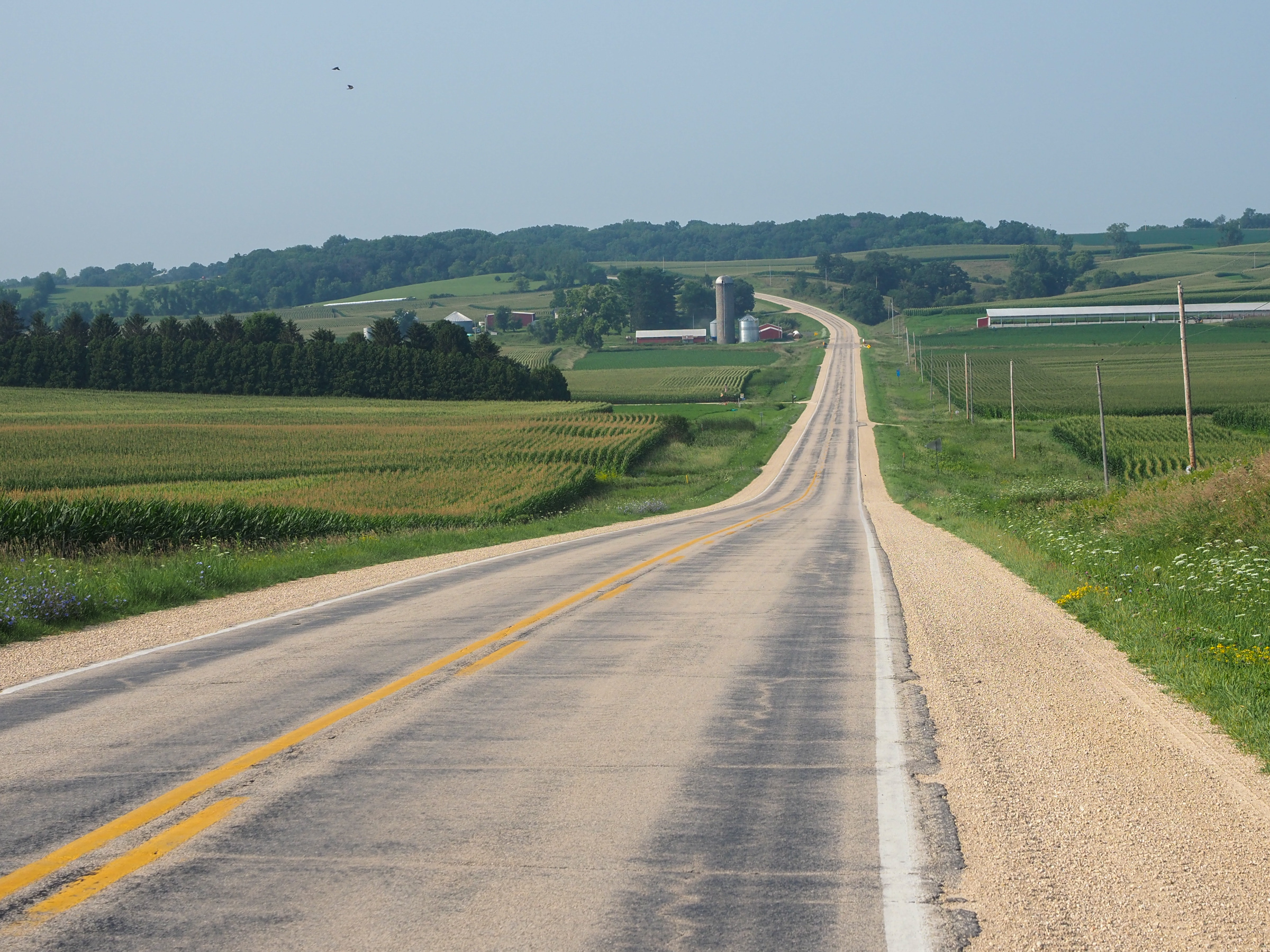
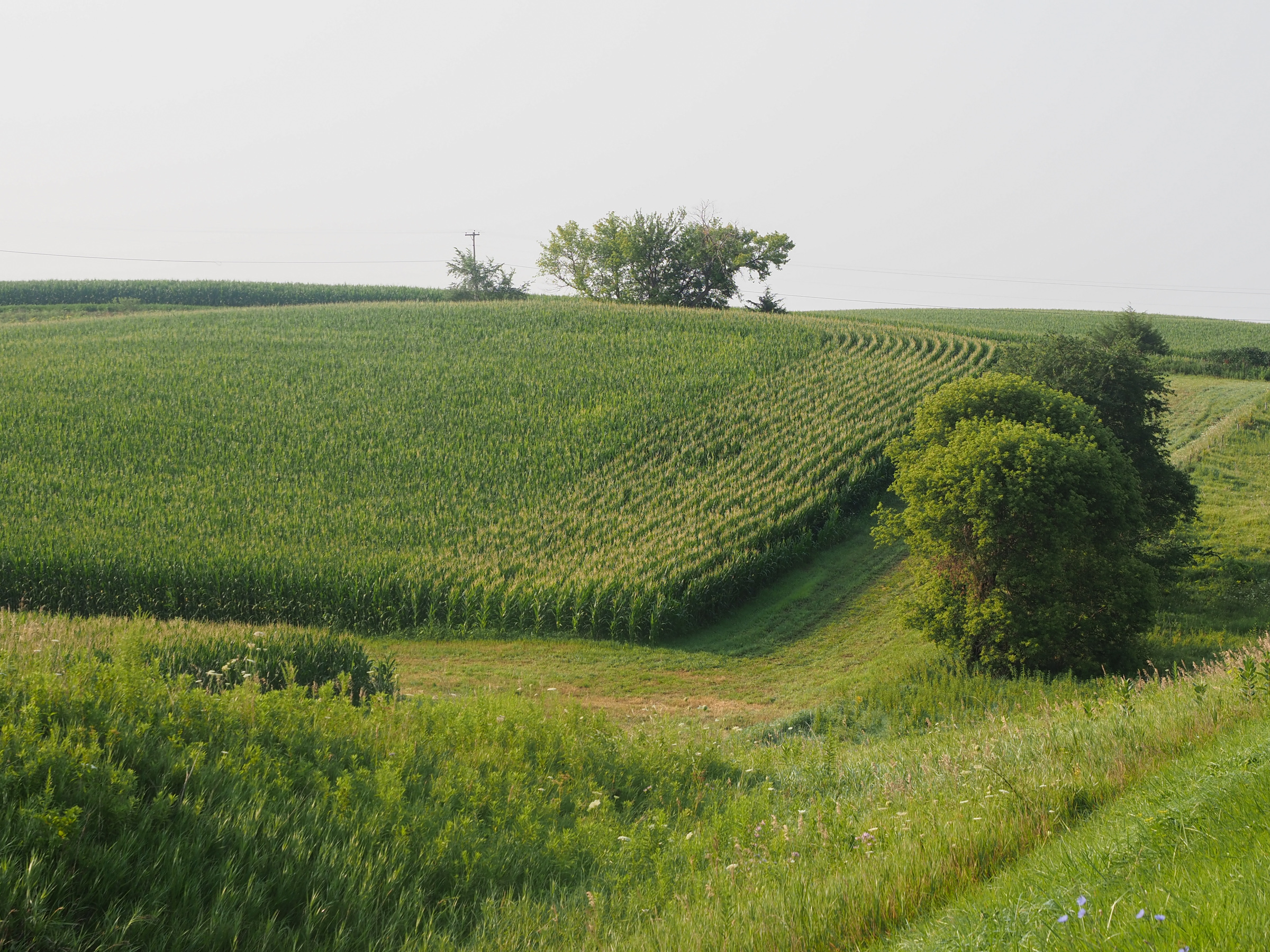
While eating my ice cream I went to Google which showed me a direct path south saving 5 miles so I decided to take it. The route was initially great with more concrete roads and even less traffic. Then the route turned on to a dirt road. I considered routing back to the northern tier but the road looked pretty good with dirt packed liked concrete. Most rail trails around here are crushed stone so not too different. I decided to continue on at least as a test of alternative navigation. After a couple turns I ended up on a dirt road with a lot of loose gravel which is a terrible surface for a road bike. My tires are on the wide side at 38mm but still not a mountain bike. This was hard riding. I could only make about 8 MPH max and was constantly catching my balance as my tires slipped on stones. I was sure a fall was inevitable. After nearly 10 miles and well over an hour of this not getting any better I looked for alternatives. I could head east on a highway for 5 miles to join the northern tier which then headed west most almost 5 miles. It was a lot of backtracking but faster than the alternative of continuing on the dirt road. So the lesson is don’t just trust Google. They often do a really good job with bicycle routing but you need to consider the route.
Since I’m in Iowa a common question I get asked is “are you doing RAGBRAI?”. RAGBRAI is a huge cycling event, Register’s Annual Great Bicycle Ride Across Iowa, which has been going on for almost 50 years. The route covers about 500 miles over 7 days and is fully supported, your gear can be transported ahead, waiting for you when you arrive. This years ride started yesterday with 15,000 riders.
A few cultural observations. First, I’ve seen Chinese restaurants for the first time. I’m sure there were some en route in Minnesota but I didn’t see any. My route through Montana and North Dakota was just too remote for Chinese restaurants. Second, this is gods country. I saw a lot of pro life signs on farms along the way. I didn’t see the same in similar areas further west. Take this as you choose, just an observation. Third, I’ve seen zero Trump signs around here which is actually similar to my ride through rural Montana and North Dakota. Trump signs were more common around towns like Whitefish, Great Falls, or Bismarck, suburban areas by western standards. I mention this not to pick fights but we can all agree regardless of political side that Trump is a sign of serious problems in this country so areas that have more Trump signs are likely feeling more pain or just more pissed off at the rest of the country. Are farmers more Democrats? Have they felt first hand the repercussions of Trumps actions? More likely, unlike suburban Republicans they don’t have time for nonsense like “the big lie”, they have work to do. Ok, so I’m picking fights.

Tomorrow I cross the Mississippi for the last time and into Illinois. After several days of heading due south now I start making progress east. My rough guess is I should be home in about 18 days, we’ll see how that estimation holds up.
