Start: 7:35 AM
Finish: 4:04 PM
Saddle Time: 5:50
Ascent: 192 feet
Descent: 333 feet
Miles: 75
Total Miles: 2059
Highlight: Riding almost 20 miles into Minneapolis all on bike path.
Lowlight: Starting to feel uncomfortable heat again, I think it’s getting more humid as I move east.
Cyclemeter: Follow this link to see the data I’m collecting with the cyclemeter app. You can see gps information, speed, elevation, distance, cadence and heart rate. Better viewed on a computer where it’s easier to play around with the graphs.
I really like Minnesota, they do a great job with bike paths. The guy I met yesterday from the Lake Wobegon Trail Association said within ten years they will have hundreds of miles of interconnecting bike path allowing you to criss cross the state by bike. I was impressed with how much bike path I rode even today in St Cloud and Minneapolis.

I wanted to get a little earlier start than the past few days so I could be done by 3:00 or so since I’ll be in a city. I’m relying entirely on Google Maps to guide my way. Like searching for driving directions you can use Google for bicycle directions where they use their all knowing powers to select roads with good shoulders or direct you onto known bike paths. The first mile or two was through St Cloud city streets but I stuck to the sidewalk, no one was walking at this hour.
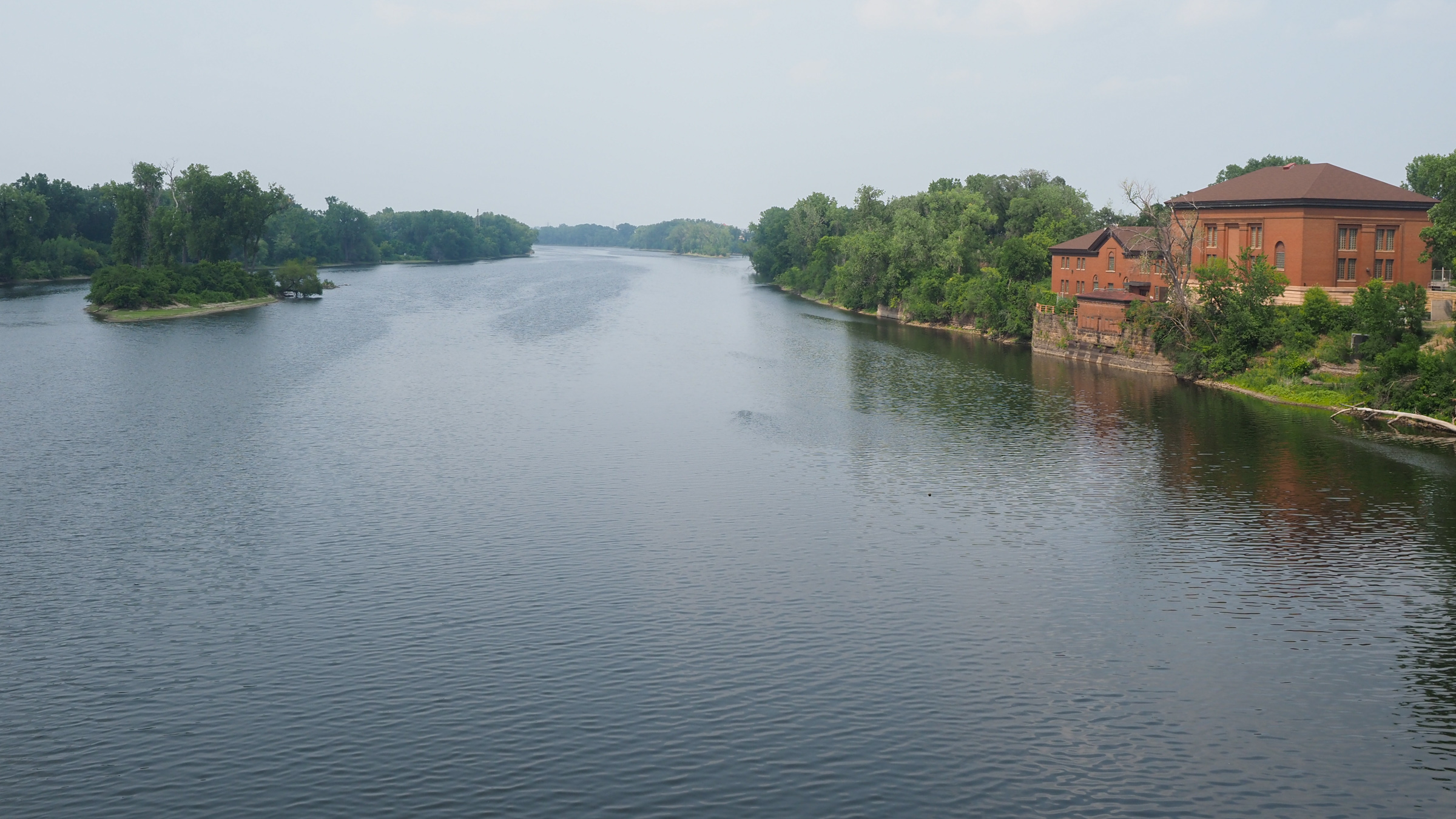
I eventually ended up on a bike path that took me about 5 miles out of the city where I picked up country road 75 which parallels highway 52, a large 4 lane highway. The Mississippi River was just off to my east but I couldn’t see it for quit a while. Eventually I was close enough in Monticello to see, and unfortunately smell, the river. I think the water was very low in this area because of the drought with exposed mud flats. The river I saw closer to Minneapolis looked and smelled much better.

I stopped at a Caribou Coffee for second breakfast. The chain is a mirror image of Starbucks, not sure who is copying who but they could be siblings. I didn’t try the coffee, maybe I’ll have one close to my hotel in Minneapolis tomorrow morning.

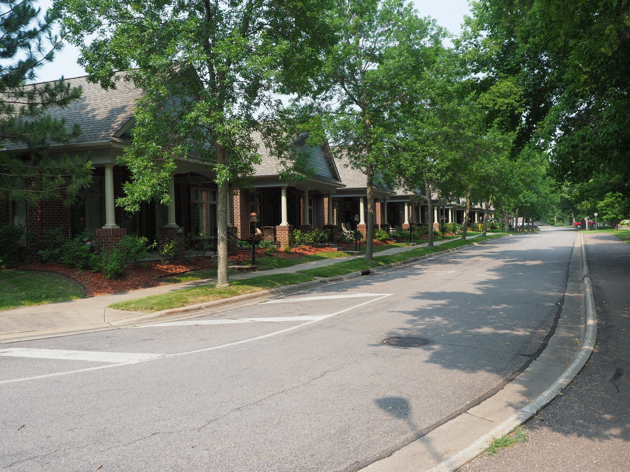
At about 30 miles or so out of Minneapolis I started seeing a number of new housing developments. These were huge, not just big house but hundreds of them. The area must be experiencing a housing boom.
While riding I kept thinking something about Minnesota reminds me of Europe. The small towns I saw yesterday were part of it where everything looked clean, neat and orderly. Closer to the city even some of the buildings had more of a modern European feel. I should have taken more pictures but there’s one here somewhere.

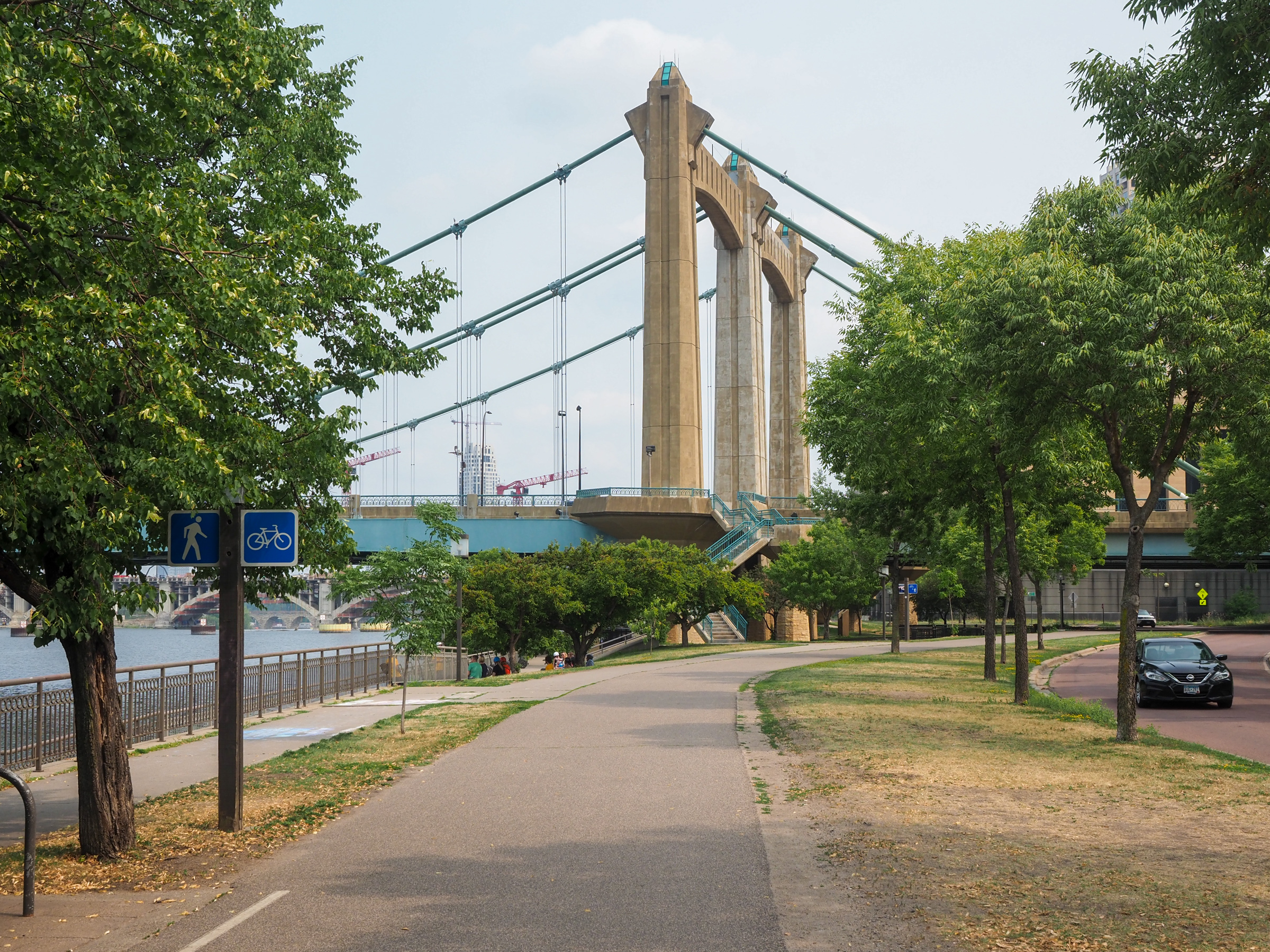
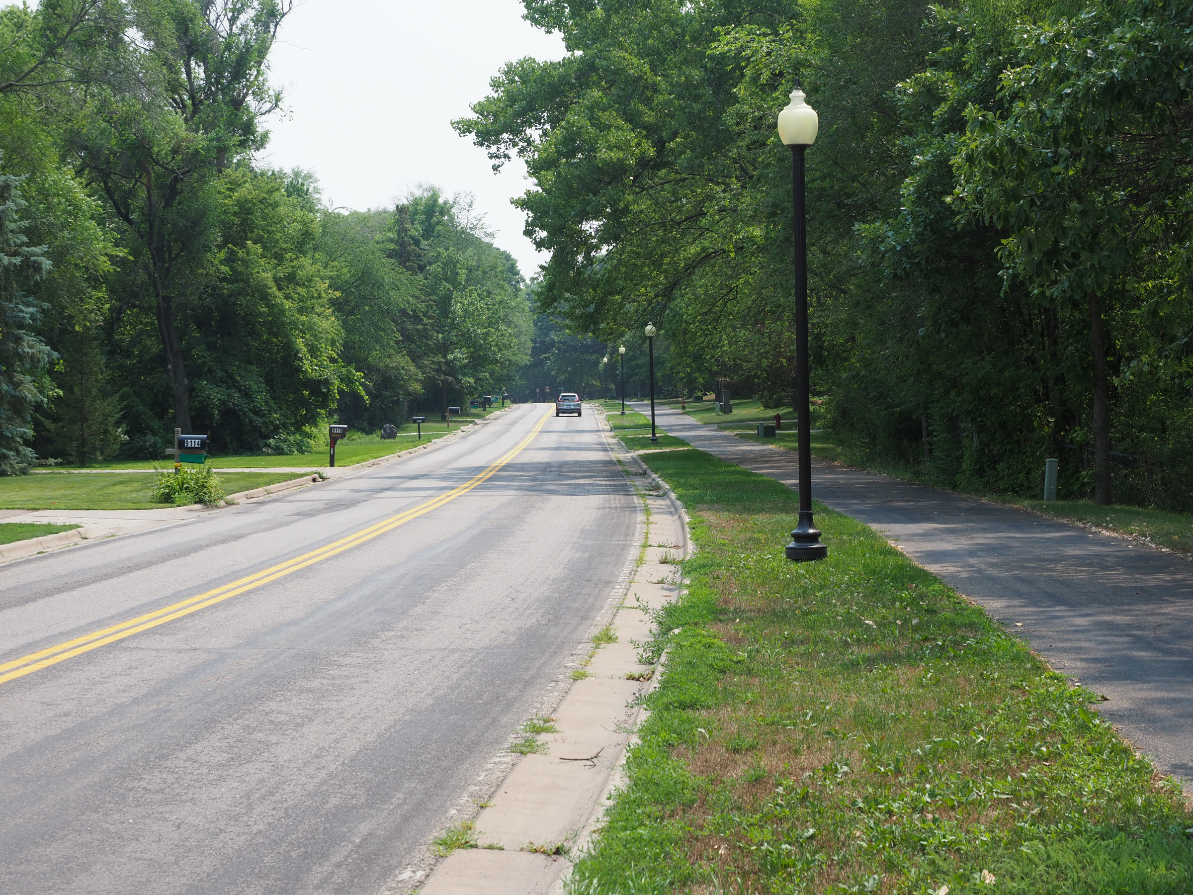
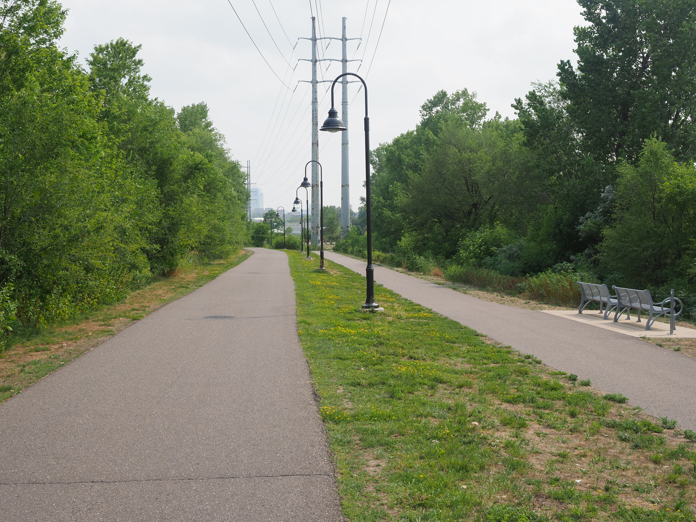
Somewhere around 20-30 miles from the city I started coming across more and more shorter sections of bike path along the road. Eventually it turned into all bike path for the last 15-20 miles. The route stayed close to the river where they have a number of parks and boat access to the water. One even had lockers where you could rent kayaks, like a giant vending machine, never seen anything like it.

I crossed over the river briefly at one point. I guess Google found better bike routing on the east side for a few miles. The bridges either had a separate pedestrian/bike walkway or bike lanes on the bridge. Once in downtown there was a lot of foot and bicycle traffic, a very active area. What little I saw of the city looked really nice.
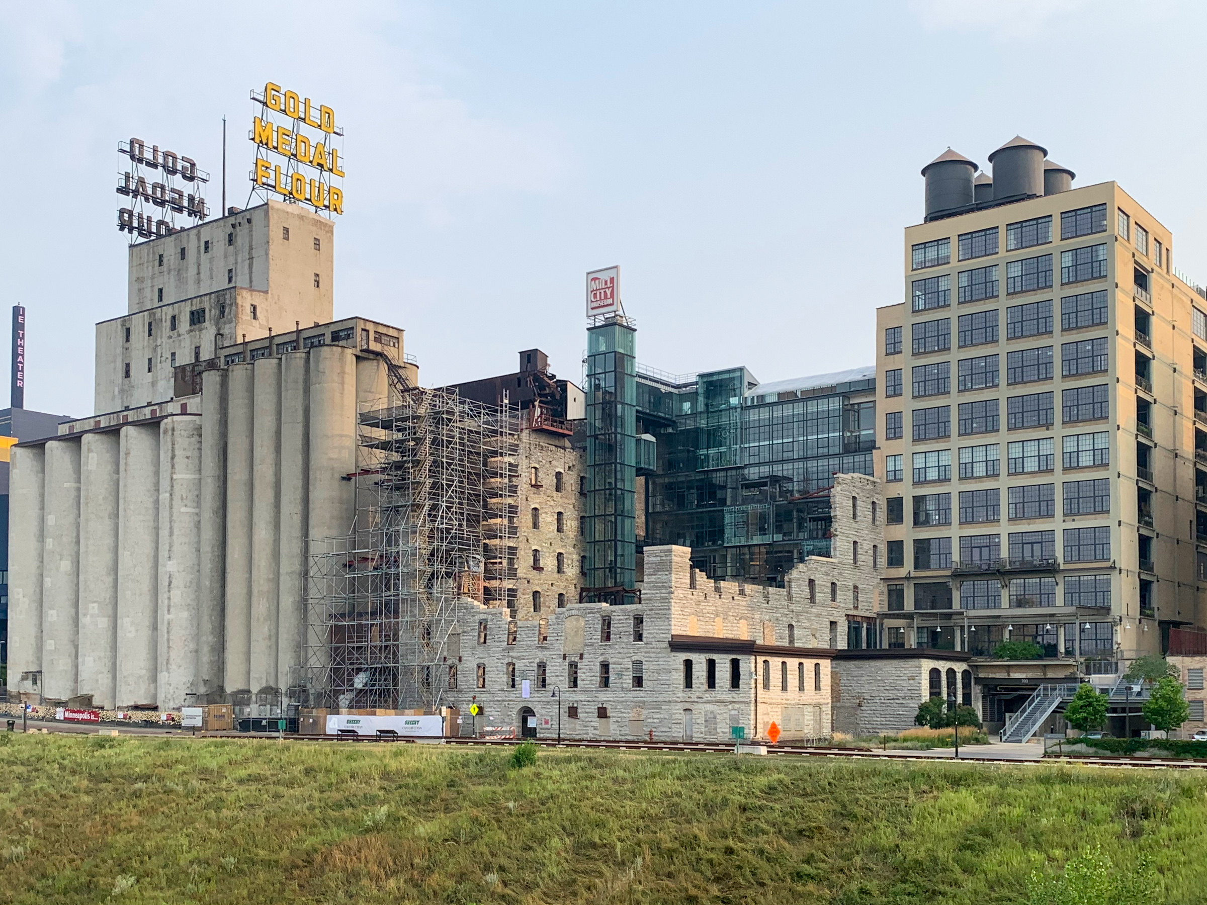
I’m staying in the area known as the Mill District. Back in the day flour mills lined the river, processing all the wheat grown transported by the Mississippi River. The city started redeveloping the area about 20 yeas ago but left some of the old mill ruins standing. The water front park Mill Ruins Park has some of this history. It reminded me of Rome, how ancient Roman ruins are just sprinkled in the modern city.
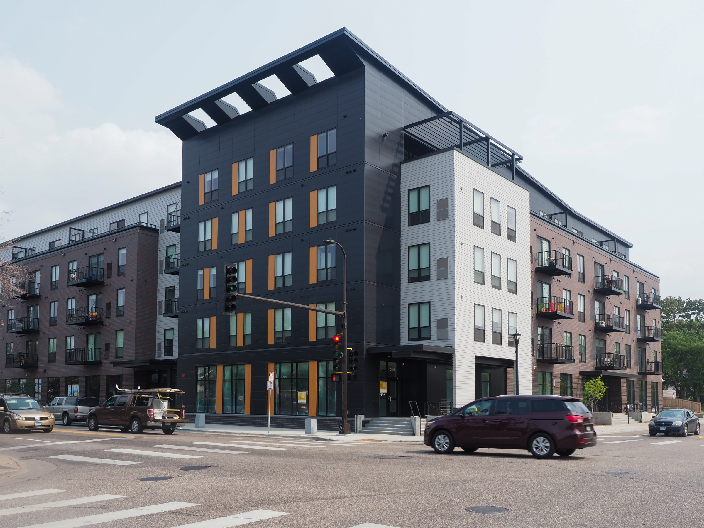
My hotel is a Radisson Red, some new chain they are developing that’s kind of artsy with as you can guess a red theme. I found a good deal online for $70. It’s actually quit nice, may not be my decorating tastes but it’s super clean and comfortable and who can beat $70 in a city downtown? FYI, I found the rate by searching hotels on Google Maps. Google does their Google thing and shows you prices. I selected the cheapest from something like lastminutetravel.com or whatever. The regular price is about twice that. Hopefully my credit card now isn’t being used in Singapore, or somewhere.
Tomorrow I’ll use google again to make my way through Minneapolis and St Paul to Prescott, Wisconsin where I hope to rejoin the norther tier. First I have to visit a local brewery or two for dinner.