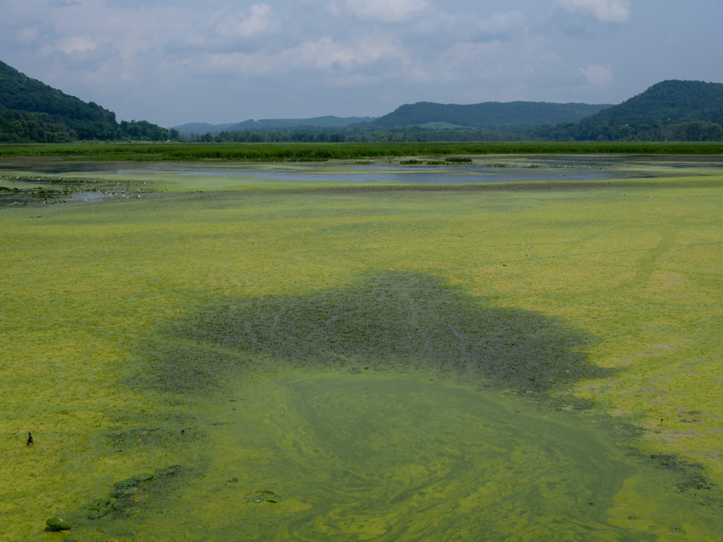
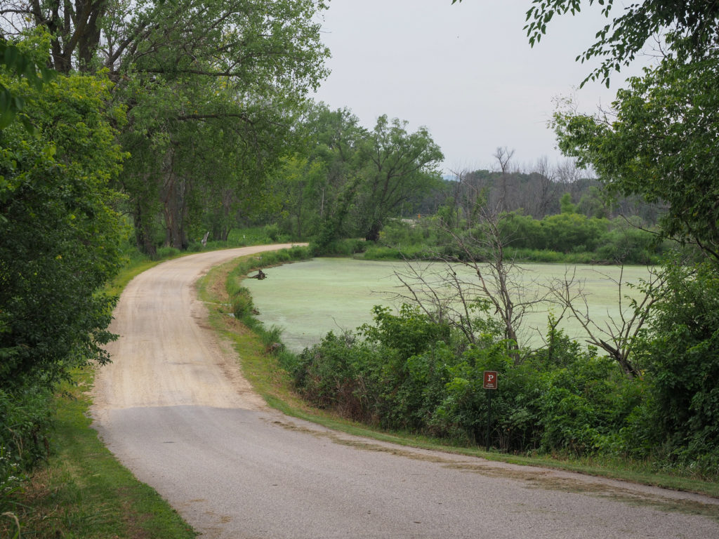
Day 41: July 26, Dyersville, IA -> Muscatine, IA

Start: 7:33 AM

Finish: 5:00 PM  

Saddle Time: 7:29

Ascent: 1,347 feet

Descent:  1,646 feet

Miles: 87

Total Miles: 2,450

Highlight: Using Google to reroute and eliminate about 15 miles of riding.

Lowlight: Using Google to reroute to eliminate 5 miles of riding only to find dirt roads  where I could only ride <8 MPH

Cyclemeter:  I had a gap in todays cyclemeter which I tried to correct in the above stats.  Follow this link to see the data I’m collecting with the cyclemeter app. You can see gps information, speed, elevation, distance, cadence and heart rate. Better viewed on a computer where it’s easier to play around with the graphs.
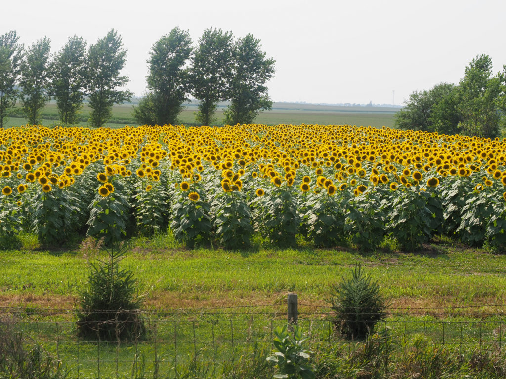
Sunflowers!

Today was supposed to be a big mileage day of 98 miles but I realized I’m on the south side of town and the route passes the north side of town before making a loop east then heads south. Google suggested a route that went due south saving me a good 15 miles of riding.  The loop east was to visit the Field of Dreams but I don’t need to see a baseball field that bad.
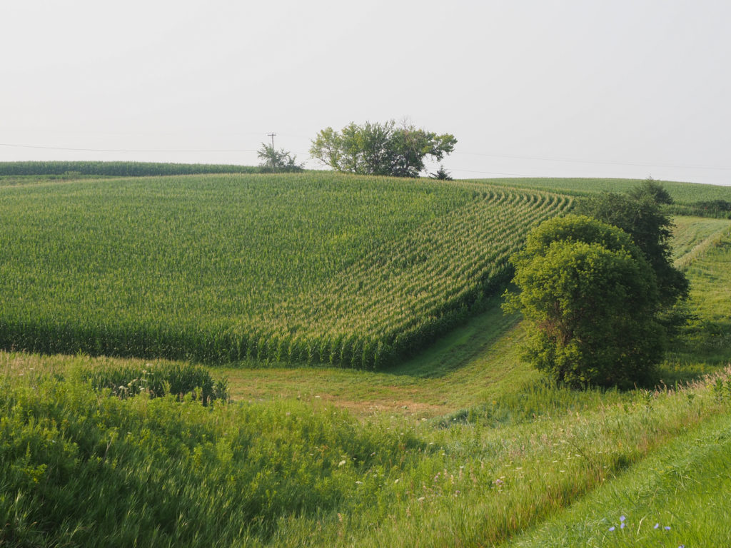
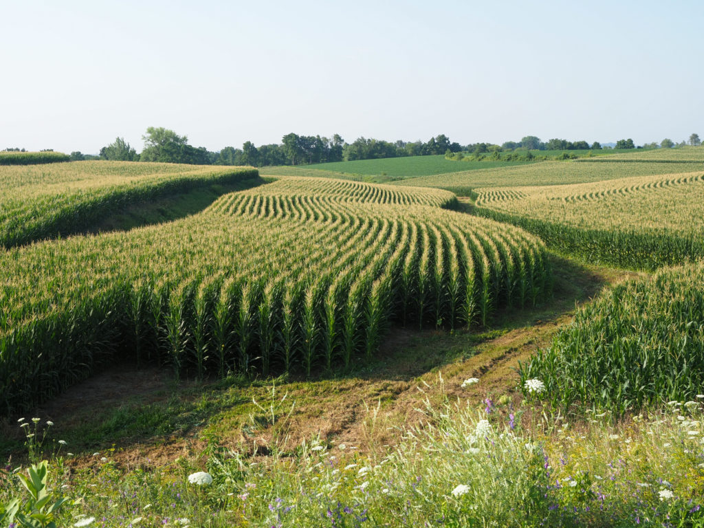
Trying to find interesting ways to photograph corn, because that’s all I see.

Last night I prepared for an early start by picking up a Subway sandwich I put in my motel fridge for breakfast and set my alarm for 5:00am.  In the intervening hours I realized my ride would be shorter so I took some time in the morning, getting out yesterdays blog, so I didn’t leave until 7:30.
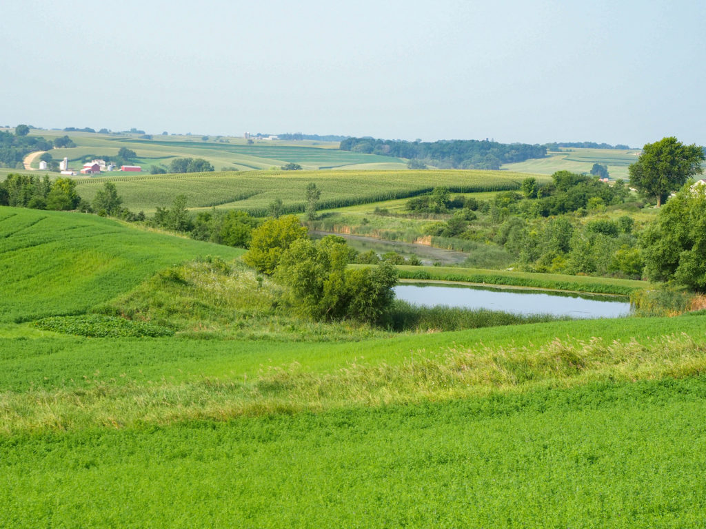
This photo has a rare combination of all that’s going on around here.

My Google route out of town was great, typical Iowa roads with no shoulder or a unusable shoulder but traffic wasn’t too bad. I rejoined the route after about 15 miles and continued for another 20 miles to Wyoming. Locals made a joke that now I can say I visited Wyoming on my tour. Another guy came up to me and talked for a long while about his motorcycle rides in the area and gave me some pointers about heading east and avoiding Chicago.

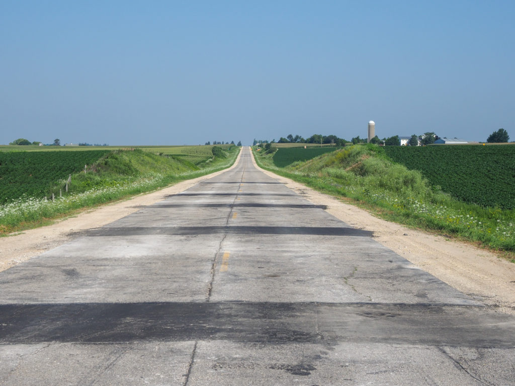
More Iowa roads with dirt shoulders.

While eating my ice cream I went to Google which showed me a direct path south saving 5 miles so I decided to take it. The route was initially great with more concrete roads and even less traffic. Then the route turned on to a dirt road.  I considered routing back to the northern tier but the road looked pretty good with dirt packed liked concrete. Most rail trails around here are crushed stone so not too different. I decided to continue on at least as a test of alternative navigation. After a couple turns I ended up on a dirt road with a lot of loose gravel which is a terrible surface for a road bike.  My tires are on the wide side at 38mm but still not a mountain bike.  This was hard riding.  I could only make about 8 MPH max and was constantly catching my balance as my tires slipped on stones.  I was sure a fall was inevitable. After nearly 10 miles and well over an hour of this not getting any better I looked for alternatives.  I could head east on a highway for 5 miles to join the northern tier which then headed west most almost 5 miles.  It was a lot of backtracking but faster than the alternative of continuing on the dirt road.  So the lesson is don’t just trust Google. They often do a really good job with bicycle routing but you need to consider the route.
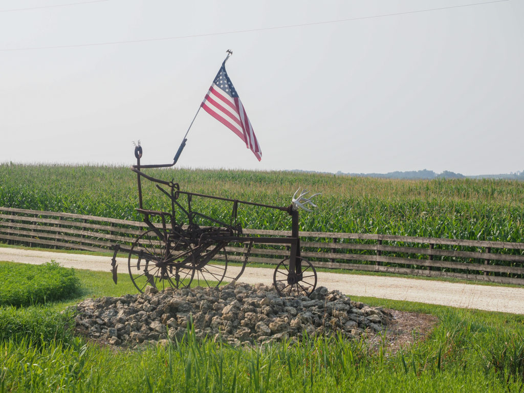
Art along the road. I like the antlers on the front.

Since I’m in Iowa a common question I get asked is “are you doing RAGBRAI?”.  RAGBRAI is a huge cycling event, Register’s Annual Great Bicycle Ride Across Iowa, which has been going on for almost 50 years.  The route covers about 500 miles over 7 days and is fully supported, your gear can be transported ahead, waiting for you when you arrive. This years ride started yesterday with 15,000 riders.

Seeing a lot of flowers along the road.

A few cultural observations.  First, I’ve seen Chinese restaurants for the first time. I’m sure there were some en route in Minnesota but I didn’t see any.  My route through Montana and North Dakota was just too remote for Chinese restaurants. Second, this is gods country.  I saw a lot of pro life signs on farms along the way.  I didn’t see the same in similar areas further west. Take this as you choose, just an observation.  Third, I’ve seen zero Trump signs around here which is actually similar to my ride through rural Montana and North Dakota. Trump signs were more common around towns like Whitefish, Great Falls, or Bismarck, suburban areas by western standards. I mention this not to pick fights but we can all agree regardless of political side that Trump is a sign of serious problems in this country so areas that have more Trump signs are likely feeling more pain or just more pissed off at the rest of the country. Are farmers more Democrats? Have they felt first hand the repercussions of Trumps actions? More likely, unlike suburban Republicans they don’t have time for nonsense like “the big lie”, they have work to do.  Ok, so I’m picking fights. 

Dirt road starting to deteriorate with more gravel.

Tomorrow I cross the Mississippi for the last time and into Illinois. After several days of heading due south now I start making progress east.  My rough guess is I should be home in about 18 days, we’ll see how that estimation holds up.

I couldn’t get it all in one shot but this guy had lawmower art all over his yard.

Day 40: July 25, Prairie du Chien, WI -> Dyersville, IA

Start: 7:30 AM

Finish: 3:35 PM  

Saddle Time: 6:11

Ascent: 1,797 feet

Descent:  1,490 feet

Miles: 74

Total Miles: 2,363

Highlight: Cool, quiet morning ride through Iowa farm country.

Lowlight: Many of the roads in Iowa had either not shoulder, a shoulder made of dirt, or rumble strips right down the middle making it unrideable.

Cyclemeter:  Follow this link to see the data I’m collecting with the cyclemeter app. You can see gps information, speed, elevation, distance, cadence and heart rate. Better viewed on a computer where it’s easier to play around with the graphs.

I haven’t talked about rumble strips, the bane of all cyclists.  They serve a useful purpose but need to be properly implemented for the safety of cars and cyclists. Some road crews place rumble strips where they belong, just to the right of the white line so you are immediately notified when you veer off the road.  Other road crews just throw them in there haphazardly, strangely sometimes right the edge of the road so you get warned by a rumble strip milliseconds before you go off the road and die. The worst for cyclists is rumble strips right down the middle of the shoulder making it unrideable.  I’ve seen all manner of placement so far, some states better than other but Iowa so far wins the prize of most miles with poorly placed rumble strips, right down the middle.

Quiet moring on a channel in the Mississippi.

I was happy with my breakfast yesterday at the restaurant next door which opens at 6:00 AM so had a repeat this morning as a good way to keep me fueled for the day. I really wish I could have an actual breakfast in the morning but to date most restaurants further west opened at 7:00 AM or later, too late for me.

Field of beans in Iowa.

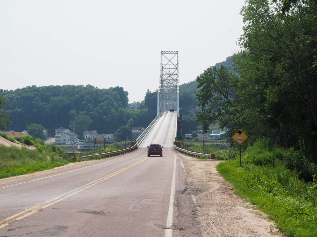
I crossed back over the Mississippi River again back into Idaho leaving Wisconsin for the final time.  There was construction on the bridge with one lane closed and alternating traffic plus an uphill grade.  Thankfully it was a Sunday morning so traffic was light. The river was really calm this morning with no winds and temperatures in the low 60’s for a change.  A nice morning to ride.

Corn is (almost) everywhere out here.

Once over the river the climb started taking me out of the Mississippi River valley.  At 6%-8%+ for 2 miles it was a serious climb that took me some time.  The road had no shoulder but also no traffic so it was a nice climb, cool temperature helped as well.

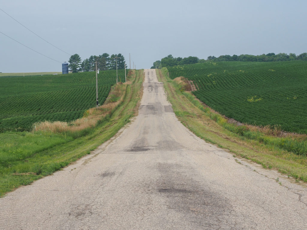
Typical road I’m riding on in Iowa. This one is ligtly traveled.

Once up top I was in the middle of Iowa farm country, corn as far as you can see with the addition of the occasional field of beans. I’m definitely in corn country which will probably be my view for the next several days. One difference I notice with this area compared to the wheat farms of Montana is more farm houses.  In Montana it was a good mile between properties, here I see several over that same distance.  I also smell, more than see, cattle.  I’ve passed barns where they are milking cattle but not sure where they reside for the day, hidden behind corn, I guess.  Cool temps, no traffic and nice scenery made for great morning ride. 

Farms seem closer together here than out in wheat country in Montana where they were separated by a good mile.

I eventually made my way to busy highways with no shoulders or the dreaded rumble strips down the middle but these didn’t last long. The long, steep climb of the morning had a payback during the day as I rode over rolling hills that gradually descended down and I was helped by a tailwind for a change. I did have headwind to start the day as the route headed west over the river for about 10 miles before heading south.

I’m seeing a lot of wildflowers along the road and open space in the fields.

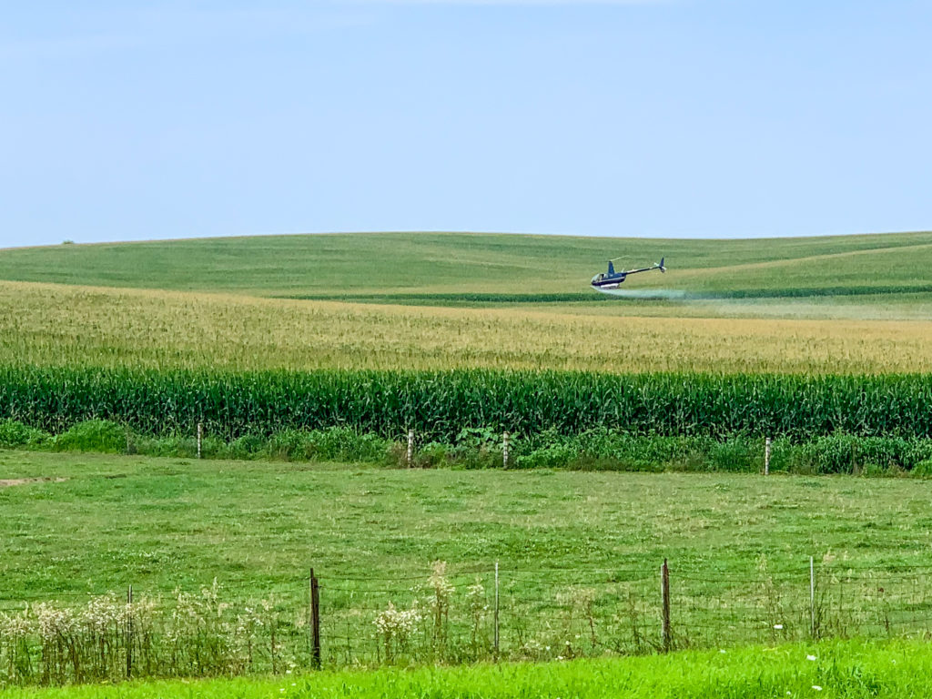
At one point I was riding and saw something one the horizon over the road that looked like a helicopter about to crash, it banked sharp and headed straight down below the horizon. A while later I saw it again and was wondering if it was some kind of optical illusion, maybe someone was playing with a drone not far from me.  As I got closer I realized it was a crop duster running laps over the fields.  As it approached the road and power lines it made a steep climb up the turned 180 degrees and dropped back down for another pass over the crops.  Very interesting to watch but also made me wonder what I’m breathing as I ride by.

Crop duster doing acrobatics over the road and power lines.
Crop duster spraying something on corn, wondering what I’m breating.

I made it to Dyersville in decent time, about 3:30 which is my preference for ending the day. Dyersville is home of the “Field of Dreams”, the baseball field built for the movie. It’s a tourist attraction now but 5 miles out of town it’s too far for me to visit this evening.  Tomorrow’s route goes by the area but I found a way to cut off about 15 miles of riding by bypassing that area which welcomed relief as I was looking at doing a 98 mile day.

The “Field of Dreams” field was built in Dyersville for the movie.

I met a couple in the motel who are with a group of cyclists who rode from Chicago to Dyersville.  They started with their wheels on Comiskey Park (goes by another name now) the home of the White Sox and ended on “Field of Dreams”, home of the Black Sox in the movie. They are riding a supported trip with a van and were very interested in my journey. People seem impressed with the distance I’ve traveled and think it’s some kind of superhuman feat. I wish I could claim such accolades but I’ve come to realize on this trip that anyone can do it, you just need to be a little crazy.

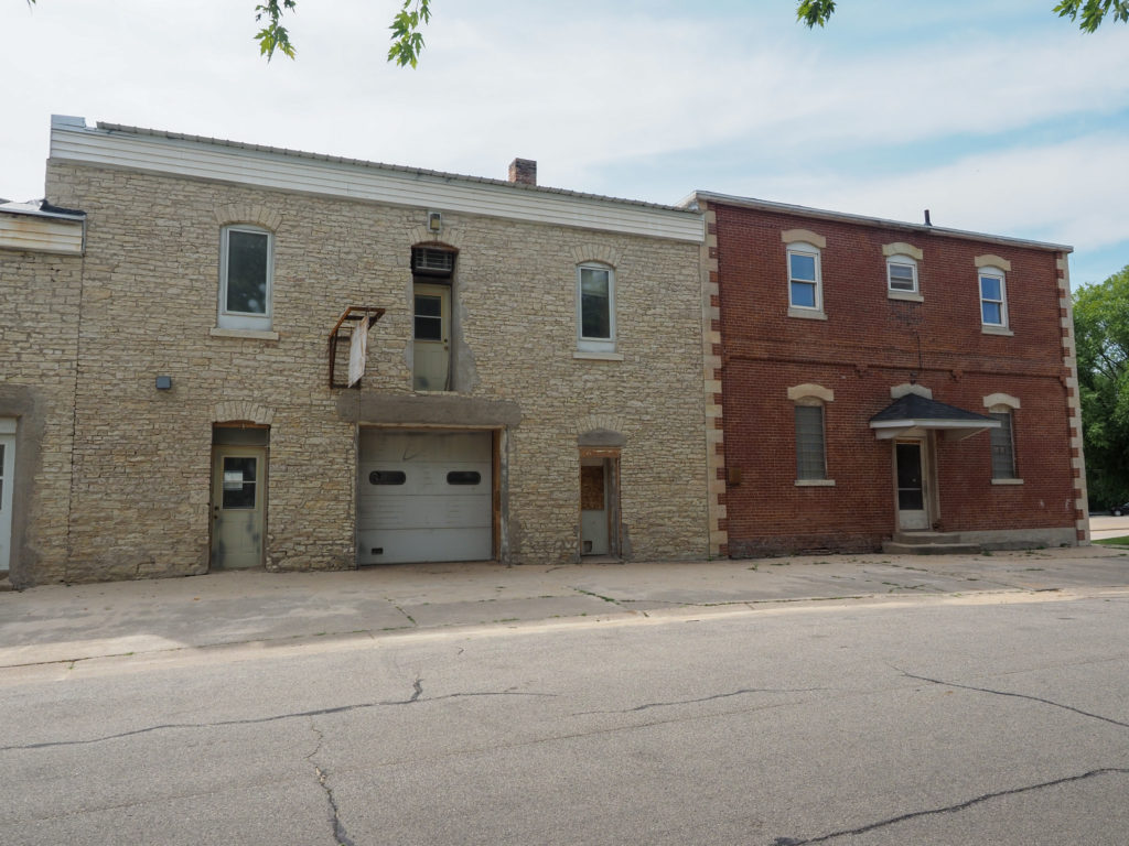
Along the river I’ve seen building built from brick and limestone.

Day 39: July 24, Prairie du Chien, WI, Rest Day

I decided to take a rest day today.  Well the decision was somewhat made for me, I had nowhere to go tomorrow, everything looked booked up. Even if camping was an option it’s far too hot and humid for me.  I won’t sleep and will just be miserable.
I was glad to see there’s a restaurant next door to my motel that’s open for breakfast early at 6:00am, not that I need early today but I can eat a good breakfast before leaving tomorrow.  So many of the places further west don’t open until 7:00 or 8:00, too late when on a bike tour.

After a great breakfast I started route planning. I looked into possibilities of heading east towards Madison then either through or around Chicago.  From where I am now I could go over half the way to Milwaukee on rail trail.  But then what? Some people take the ferry across Lake Michigan and continue on to either north or south shore of Lake Erie. The Canadian border is set to open about a week too late for me.  This route is very compelling but I don’t want to take a ferry.  I’ve peddled too far to have a gap in my cross country ride.

Another possibility is to ride directly into Chicago from Madison. From what I understand Chicago does have a good trail network and if it’s anything like Minneapolis the ride won’t be nearly as bad as it may sound.  I do see ways of avoiding Chicago by staying on roads but at this point I would have to do too much research regarding places to stay.

After a lot of searching I decided to stick with the Northern Tier.  I’ve ridden it this far (minus my ride through Minneapolis) so I might was well continue. I do think there are better ways of getting through this area of the country but I just don’t have the time for that much planning.  I decided to book out the next 8 days getting me through next weekend. Even on route there are limited places to stay and in some place motels were already booked. I’m booking all motels, no camping because it’s just too humid and the weather seems too unpredictable.

Of the 8 days, 4 are over 90 miles which I’m not crazy about. After about 80 miles I really want off the bike but I’ve done 88 so I can definitely do 5-10 more.  I thought by now I would have the occasional century ride but it hasn’t yet happened.  While I think I can ride the miles I also think I’m just asking to end up injured or at the very least just simply not happy. 

Tomorrows ride is about 70 miles but with some hills followed by my longest ride the next day at 98 miles.  The weather forecast is for favorable winds over the next week, only took 5 weeks. I’ll see how it goes the first few days and may change direction if necessary.

I also had time to figure out how to combine my GPS files to display in Google Maps, had to write some Python code. I updated yesterdays post with the combined map but zoomed in on the last couple days ride.  You can use the +/- buttons to zoom in/out and use your mouse to scroll the map around. I’ll update the earlier maps eventually and all future maps will be like this.

Day 38: July 23, Trempealeau, WI -> Prairie du Chien, WI

There was a gap in my cyclemeter data which I tried to correct best I could in the summary stats.

Start: 7:52 AM

Finish: 6:48 PM  

Saddle Time: 7:15

Ascent: 1,311 feet

Descent:  1,328 feet

Miles: 85

Total Miles: 2,288

Highlight: Riding about 15 miles on the Great River Trail

Lowlight: Crossing over into Iowa and encountering steep hills and poor roads.

Cyclemeter:  Follow this link to see the data I’m collecting with the cyclemeter app. You can see gps information, speed, elevation, distance, cadence and heart rate. Better viewed on a computer where it’s easier to play around with the graphs.

The thing with bike touring is I never know when something of interest will come my way. I haven’t been too crazy about the past couple days riding down the Mississippi. Route 35 is considered a scenic road and it probably is from a car but it’s not all that enjoyable by bike.  The highway has a decent shoulder but is pretty heavily traveled.  It doesn’t feel dangerous but you can’t get away from the sound of traffic. I was wondering if this will be my ride for the next few days along until I start heading east in Muscatine, Iowa.  If so it won’t be a very interesting few days.

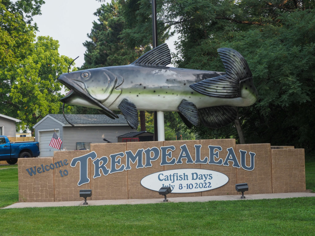
Sign entering town. Looks like they have an annual catfish festival.

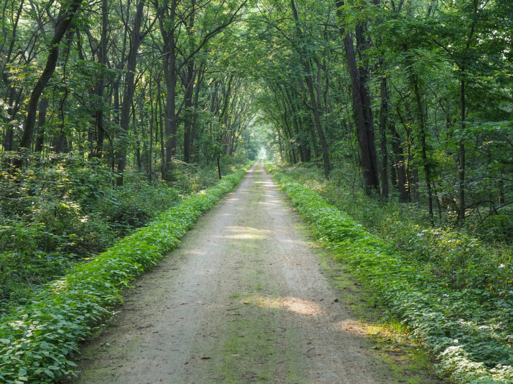
Then yesterday ended with an excellent ride on the Great River Trail through the Trempealeau National Wildlife Refuge. I was pretty tired so not enjoying it as much as I should have but there was no traffic. I was happy to see today’s ride starts with 15 miles on this trail all the way to La Crosse.  I wasn’t sure if this is a rail trail or just a dirt road. It looked elevated in places but also seemed like a dirt road.  Today I crossed a number of old railroad bridges, clearly this was an old rail line, the Chicago-Northwestern Railroad. The surface is crushed stone and in decent shape.  Riding is a little slower than on the road but at tradeoff I will take to avoid traffic noise. The scenery was just as nice if not better than yesterday.

The Great River Trail outside of Trempealeau.

The trail dropped me off on the outskirts of La Crosse in the bordering town of Onalaska. The ride through La Crosse seemed to take long time.  I was mostly on quiet side roads but with all the stop and go it took a good amount of time.  I rode through more interesting old neighborhoods with big houses and mature tree lined roads. 

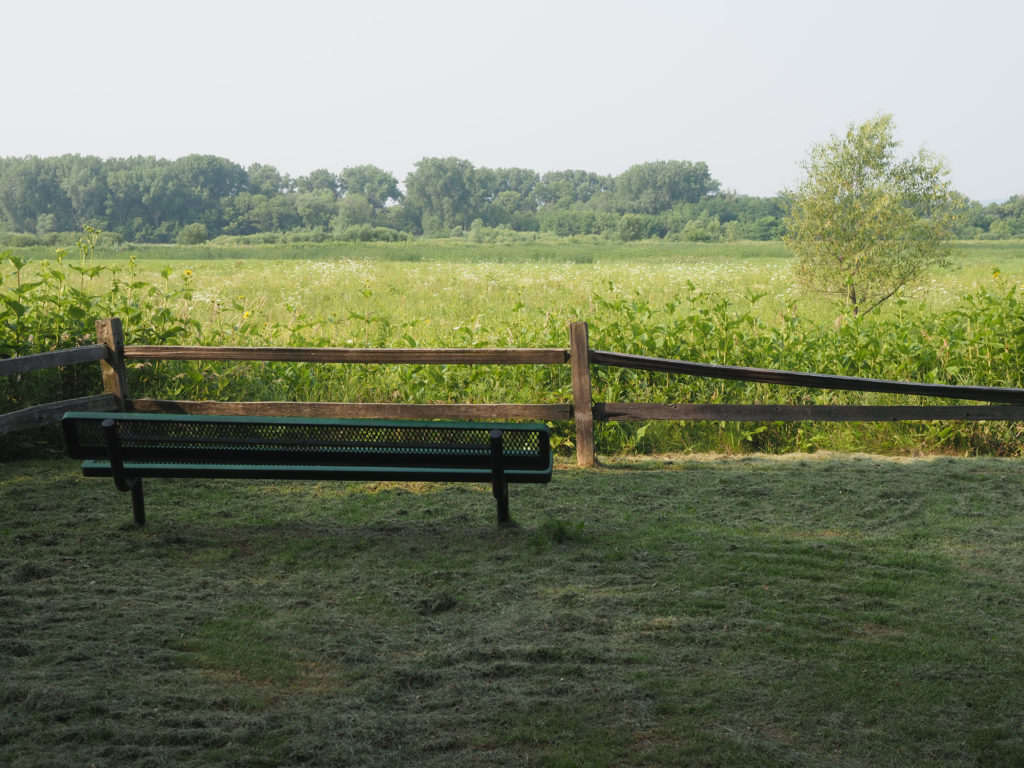
Along the Great River Trail they have a lot nice places to sit.

I haven’t mentioned it lately but I continue to have headwind most days, including today.  Since Minneapolis it hasn’t been as much of an issue as in the plains since trees, hills and buildings temper the wind so it’s not as relentless as in Montana or North Dakota. Todays ride was a bit different with some long stretches of road along the river really collecting the wind blowing from the south. I’ve had worse days but it definitely slowed me down. Next weeks forecast looks like favorable wind conditions. I’ve only been waiting five weeks.

Old railroad bridge turned into bike path on the Great River Trail.

I haven’t had good fish since I started this tour on the coast of Washington.  I tried a couple times in Montana and North Dakota but they don’t know fish, in fact they don’t know restaurants. Remember everything I encountered was simple steak, burgers and chicken. The fish was pretty bad, like elementary school cafeteria food. Now I’m back in fish country, not seafood but certainly freshwater fish.  I saw on the map a restaurant about 50 miles into my day that looked like a good place to eat, the Great River Road House. They do a fish fry every Friday but not until 4:00 so I will be too early. Hopefully they should have decent fish. I wanted something local but all they had for lunch was cod. The sandwich was exceptional, served on piece of garlic and butter toasted French bread. That will keep me going for the next 30 miles.  Fish related, I passed the Genoa National Fish Hatchery along the way where they raise freshwater fish and ship to states across the country.

View from one of the old railroad bridges.

A few miles down the road I crossed over the river into Lansing, Iowa passing through the Upper Mississippi National Wildlife Refuge, impressive just like Trempealeau. There were moments I wondered if there were alligators in those waters.  I know I’m far too north but the area has a bayou feel. The river in this are is spread out over a large flood plain with the main channel on one side of the other.  With all the shipping traffic they either have very high bridges or draw bridges over the channels.  The bridge I crossed was a narrow, steep, metal grate bridge. Not a fun ride with wind blowing and cars stacking up behind me.

One of the larger bridges on the trail.

The roads in Iowa were initially great, all concrete which is an excellent surface for riding. Unfortunately I was met with a few long climbs.  These were not just quick hops over hills but long climbs up 7% grade, reminded me of the final approaches to Rainy and Washington passes at the beginning of this trip. These were not 20 mile climbs but long enough to have me in full on climbing mode, seriously slowing me down.  The road conditions also deteriorated with no shoulder and too much traffic. I was completely hating on Adventure Cycling for sending me over the river so soon.  Highway 35 wasn’t great but I’ve been on it for 100 miles and  it’s better that this.  I had considered following Google’s directions and staying on the east side of the river but didn’t, and now regret that decision. I’m also wondering what the next few days will look like.  More like today or yesterday?

A nice place to sit along the Great RIver Trail.

Effigy National Monument is just short of my final destination but I passed after they were closed.  Native Americans mounded up the earth to look like animal figures over 1,000 years ago, would have liked to visit. 

A view in the Upper Mississippi River National WIldlife Refuge.

I crossed back over the river for a place to stay for the night. Being Friday everything was booked up so I’m in a Motel 6 somewhat out of the way. I’m pretty tired after today and seriously questioning if I want to continue the northern tier as mapped by Adventure Cycling. I don’t know why they didn’t take advantage of the good rail trails in Wisconsin instead of dropping down south into Iowa before heading east.  Of course it’s to get around Lake Michigan and Chicago but it seems like a diagonal would be possible.  I’m even considering riding straight through Chicago which would allow me to also ride through the excellent trail system around Madison.  If anything like Minneapolis Chicago wouldn’t be that bad. I’m justifying a rest day tomorrow to do some research and figure out how I will ride the rest of this trip. I need the rest, anyway.

Crossing the bridge into Lansing, Iowa.
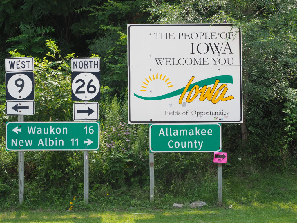
Entering Iowa after crossing the bridge.
A street in Lansing, Iowa. All the river towns look like they date back quite a while.
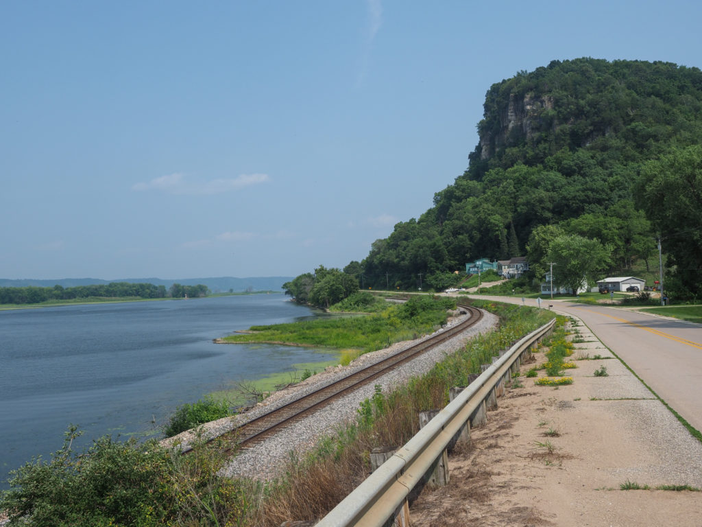
Riding along the river on the Iowa side.

Day 37: July 22, Red Wing, MN -> Trempealeau, WI

Start: 8:10 AM

Finish: 6:26 PM  

Saddle Time: 6:57

Ascent: 864 feet

Descent:  794 feet

Miles: 85

Total Miles: 2,204

Highlight: Riding the Great River State Park Trail through the Trempealeau National Wildlife Refuge

Lowlight: Most of the day riding 35 was not very scenic and traffic was heavy.

Cyclemeter:  Follow this link to see the data I’m collecting with the cyclemeter app. You can see gps information, speed, elevation, distance, cadence and heart rate. Better viewed on a computer where it’s easier to play around with the graphs.

I was really tired end of the day yesterday. It wasn’t a particularly long or difficult day but I think the days are catching up with me.  I haven’t had a rest day in three weeks.  I keep thinking I will wait until a bad weather day but they never come.  I’ve been riding now for 5 weeks and it hasn’t rained on me once, in fact it’s only rained once day or night. Clouds were getting dark today with some light sprinkles in the air and I did ride on wet roads where it had rained just before but still no rain on me.  I can’t complain, it makes for good riding but needless to say much of the west is in an extreme to severe drought.  Wisconsin is looking greener than where I came from so I’m guessing I should see rain soon.

A Lutheran church along the way.

I let myself sleep in until 6:00 since that’s when breakfast is served and I need the rest. I planned on about an 80 mile ride today. Camping is a strong option since there’s a decent state park just outside of Trempealeau and a couple options for motels to stay in town.  I almost made campground reservations but decided to wait until mid day since I’m so tired, maybe I don’t want to ride 80 miles or maybe I don’t want to camp.

A side road off Highway 35

On the way out of town I stopped at the supermarket to pick up my usual camp food since the campground is before town: rice, beans and sardines. Once I started riding I felt the humidity, much worse than what I’ve been riding out west.  The weather app shows highs only in the low 80’s today but only cooling down to the low 70’s tonight with a dew point of 70. I really don’t want to camp in this weather.

The Mississippi certainly is a big river.

Todays ride turned out to be not all that interesting for most of the 80 miles.  I followed Highway 35 down the Mississippi River but the river was mostly out of sight and the highway had a lot of traffic, although the shoulder was good. I had long climb at the start, a 4% grade for about 2 miles, not tough but like yesterday it took me by surprise considering I’m following the river.

Old Texaco station along Highway 35

Some of the river towns were interesting especially those by the damns and locks. The main drag through the towns had building that clearly dated back a century or more. I stopped at the tiny town to Stockholm, population 79, at the Stockholm Pie and General Store. They make a wide selection of sweet and savory pies. I had an excellent pecan pie with homemade whipped cream.  I almost went back for a second slice of something else but figured I’d be stopping again for food at the halfway point in a couple hours.

One of the many marsh areas that branch off from the Mississippi River.

I made it to Nelson at the 40 mile mark and stopped to look at the map trying to find ice cream when a woman and her husband called out to me from across the street.  Cyclists! I stopped and talked for a while.  They were in their 50’s or so and were also riding the northern tier east, although mixing it up with some of their own routing on rail trails. They are heading to Milwaukee to take the ferry over Lake Michigan, most of the ride can be done on rail trail.  I find this very compelling since todays ride wasn’t all that interesting and will likely be the same for the next few days but I want to ride my bike across country, not bike and ferry so I’ll stick to the northern tier route.

Barges entering the locks at Alma, WI

I found an ice cream place, the Nelson Creamery.  They seem to mostly make cheese but also have a restaurant.  Rather than ice cream I went for a pulled pork sandwich but it did have cheese on it. I think part of the reason I was so tired yesterday is that I didn’t eat a decent lunch. Today’s food kept me feeling fairly strong the rest of the day.

Main Street in Alma, WI

The last 8 miles was on rail trail and dirt road that went in to the Trempealeau National Wildlife Refuge. At this point it’s getting late and I had already ridden close to 80 miles so part of me just wanted it to end but the scenery was very nice and secluded.  The area is mostly marsh land with a lot of small ponds. The route goes right by the campground I was planning on staying at, glad I’m not camping tonight since it’s hot and buggy.

Starting my ride through the Trempealeau National Wildlife Refuge

Made it to the Little Bluff Inn in the town of Trempealeau, one of the lock towns. It’s a tiny town with only one or two restaurants and a few small motels. I decided to eat my camp food for dinner since I’d been carrying it and with this weather I likely won’t camp for a while. It’s super simple food and a whole lot cheaper than eating out but I do want to try some local fish at some point. I had fish a couple times riding through the midwest, bad mistake, seemed like frozen fish you would buy at the supermarket but I can’t expect much more from places without water. The should have some good freshwater fish around here.

Trail through the Trempealeau National Wildlife Refuge.
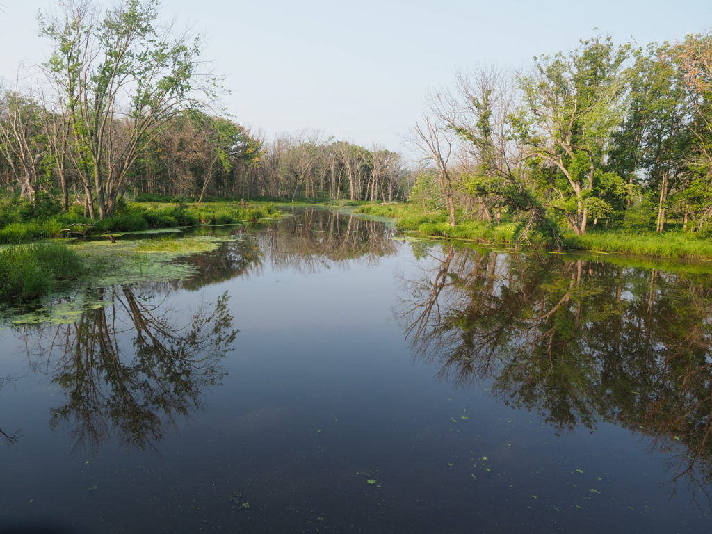
A river in the Trempealeau National Wildlife Refuge
Dirt road in the Trempealeau National Wildlife Refuge
Artwork at my motel, Little Bluff Inn, Trempealeau, WI