Day 46: July 31, Rensselaer, IN -> Wabash, IN

Start: 7:21 AM

Finish: 3:25 PM  

Saddle Time: 6:02

Ascent: 261 feet

Descent:  107 feet

Miles: 83

Total Miles: 2,799

Highlight: No headwind!

Lowlight: Short but steep rolling hills on the way into Wabash.  I haven’t seen a hill in about a week.

Cyclemeter:  Follow this link to see the data I’m collecting with the cyclemeter app. You can see gps information, speed, elevation, distance, cadence and heart rate. Better viewed on a computer where it’s easier to play around with the graphs.

A few weeks ago I talked about how the wind can make all the difference between a great and terrible day of riding. To me it matters more than just about anything except maybe traffic. Today and yesterday are good examples.  Today’s ride was on the same roads as yesterday but was much more enjoyable all because the wind wasn’t strong.  I even had a tailwind later in the day!
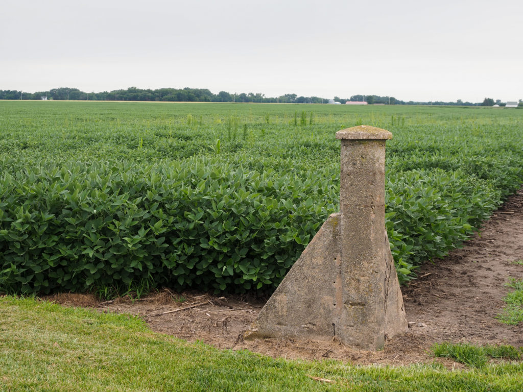
I’ve seen a lot of these old property or field boundries. They all look different but some kind of old conrete corner.

Another win for Google.  My Bicycle Route app mapped todays ride at 93 miles while Google saved me 10 miles.  Most of the difference was at the beginning and end of the day. Both last nights and tonights motels are several miles off route.  The Bicycle Route app tends to give you the shortest path to and from the route not necessarily the shortest path for the days ride. Google overlapped with the northern tier for most of the day but the northern tier stepped up north mid route likely to hit another town which I avoided. 
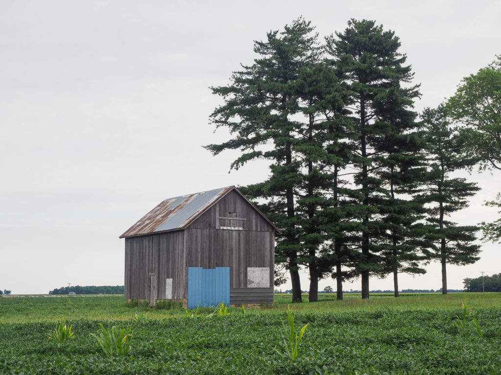
Just an old shed.

My first and only town stop was at 30 miles in Buffalo, Indiana at a local gas station convenience store.  They normally serve hot food but I was too early so I grabbed a refrigerated sandwich and of course a bottle of Gatorade. It’s cool and dry so I really don’t need Gatorade today but I crave at least one bottle a day, I guess to keep my blood rich in Gator juice.

I don’t know what this is all about but I am in hog country. JBW is a big corporation. So I guess it’s worse for JBW to destroy the wetlands than local farmers.

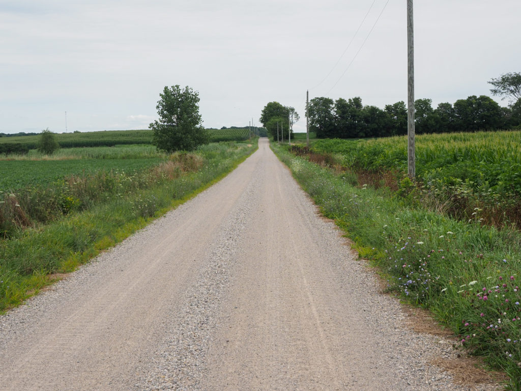
Soon after setting off again the wind started to shift from the north to the west. I now had a tailwind! Not strong but also not a headwind, very rare for me on this tour. I was making decent time until I hit a dirt road. I debated navigating around but decided to proceed, it look well packed and not gravely so the riding should be acceptable.  It ended up being fine and only last a few miles.
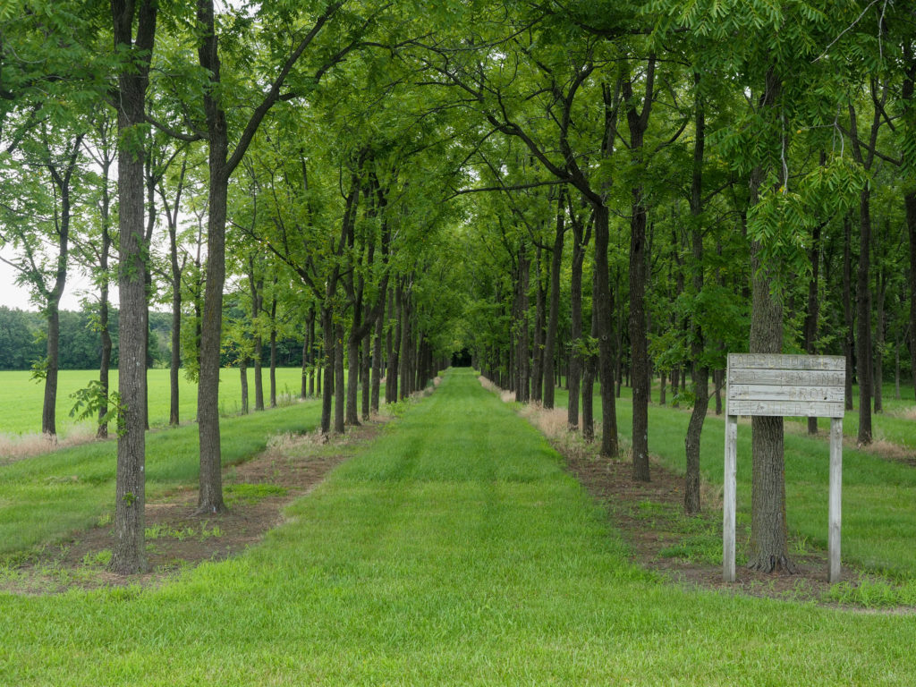
Grove of Walnut, I think. The sign says “Absolutely no hunting in grove. Planted 5-91”

I hit a stretch or rail trail about 15 miles from my destination.  It wasn’t long, only about 5 miles, but I haven’t been on one since Minnesota. The trail had a tunnel like effect with trees creating a canopy over the trail.
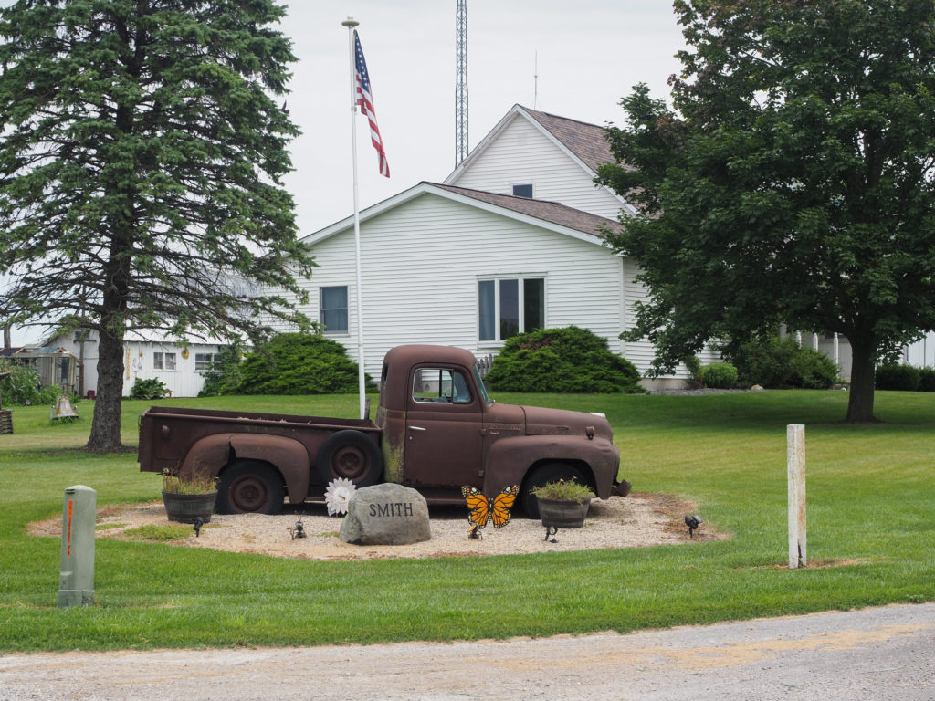
Old truck art along the side of the road.

I passed several old farms, both houses and barns, that clearly have been abandoned.  I’m speaking largely out of ignorance here but from what I understand there has been a lot of consolidation in farming over the years.  Many of the farms are actually leased by large corporations.  Farms are also being bought up by large corporations and private individuals intending to lease the land.  Bill Gates is the largest private farm owner in the country. I guess it makes sense, he needs secret locations to make the microchips he puts in the covid vaccines.

I don’t know what this is, in the middle of a field but looks to be doing something with gases.

Speaking of covid, I’m starting to see masks again.  I assume it’s because of my proximity to Chicago. With few exceptions I’ve seen none since Republic, Washington.  By none I don’t mean I rarely saw masks, I mean I’ve seen literally zero other than in Whitefish, Montana which is a tourist town, Bismarck, North Dakota, one of the larger towns I rode through, and Minneapolis, the only real city I rode through. Take this as you will, I just find it interesting.  I’m vaccinated so I’m not wearing a mask but when I left home most people were still wearing masks even if vaccinated. I wore one but mainly because I didn’t want to look like I watch Tucker Carlson.  I’m sure by now that number has flipped but I’ll bet it’s not zero.

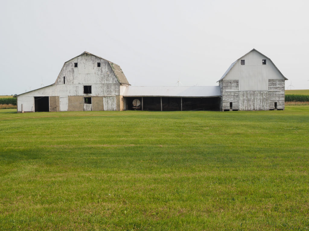
Old barn in the middle of a new field.

Tomorrow is a short day, I think under 60 miles which is good because I need to spend some time route planning and making reservations through next weekend when I’ll be in the Buffalo, NY area. Based on my Google Maps experience I may lean more towards following Googles directions rather than sticking to the actual northern tier.  I’ll still roughly follow the northern tier and likely overlap a lot but I’ve been very happy with Google’s road choices.
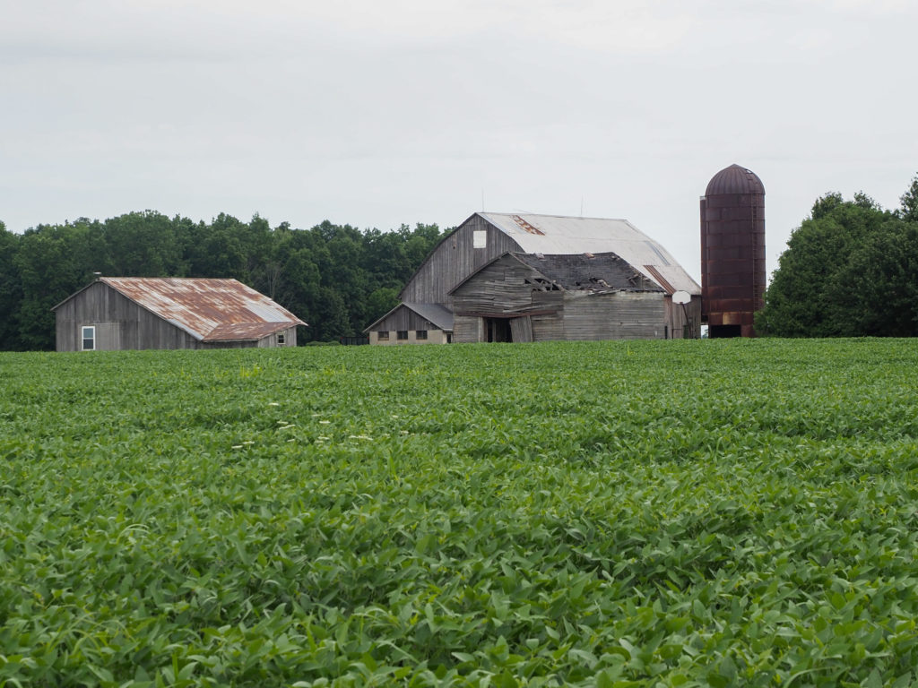
I didn’t see new barns in the area so maybe the property was sold.
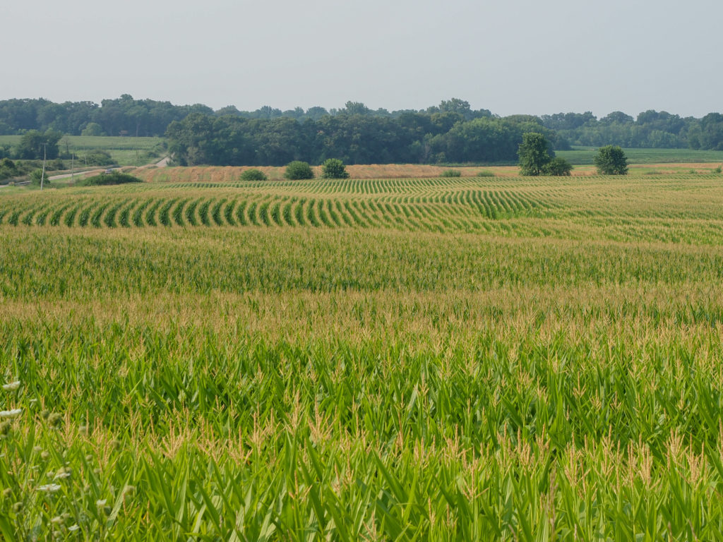
Just looking for something visually different and interesting in the endless fields.
Some of the dirt road I was on, not too bad.
Rail trail covered by trees. This went on for several miles.
Day 45: July 30, Pontiac, IL -> Rensselaer, IN

Start: 7:25 AM

Finish: 4:20 PM  

Saddle Time: 7:15

Ascent: 214 feet

Descent:  224 feet

Miles: 85

Total Miles: 2,716

Highlight: Shortening the ride by 20 miles using Google directions.
Lowlight: All day headwind.

Cyclemeter:  Follow this link to see the data I’m collecting with the cyclemeter app. You can see gps information, speed, elevation, distance, cadence and heart rate. Better viewed on a computer where it’s easier to play around with the graphs.

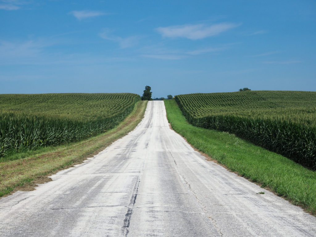
Start of what i thought was a straight 75 miles.

Today was supposed to be a short 45 mile day but with yesterdays weather and change of plans it’s going to be long. My Adventure Cycling app maps the ride to 105 miles. I’m really not interested in being on the bike that long and to make matters worse the weather forecast calls for fairly strong winds out of the north-northeast, not a direct headwind since I’m mostly heading due east but enough to matter.  So I went to Google. I can take Old Route 66 northeast out of town for about 6 miles then head due east for 75 miles which saves me 24 miles of peddling. With the predicted headwind that’s well over 2 hours so definitely worth a shot.  

I’m still seeing wind farms. Illinois is big into wind.

Google’s route passes close to a town with a Circle K at 40 miles so I can stop to grab some food and refill my water bottles but this is the only town along the way. Riding all 81 without a town is very doable with planning but I’d rather not carry that much extra water and it is nice to grab something hot for lunch rather than Cliff Bars out of my bags.

Something that’s not corn or soybeans.

Last night for dinner I went next door to Walmart and picked up a can of beans, rice, cheesecake and a couple chicken strips for dinner along with a breakfast sandwich, cheese, yogurt and a couple bananas for breakfast so I should be good for 40 miles, no need for second breakfast.

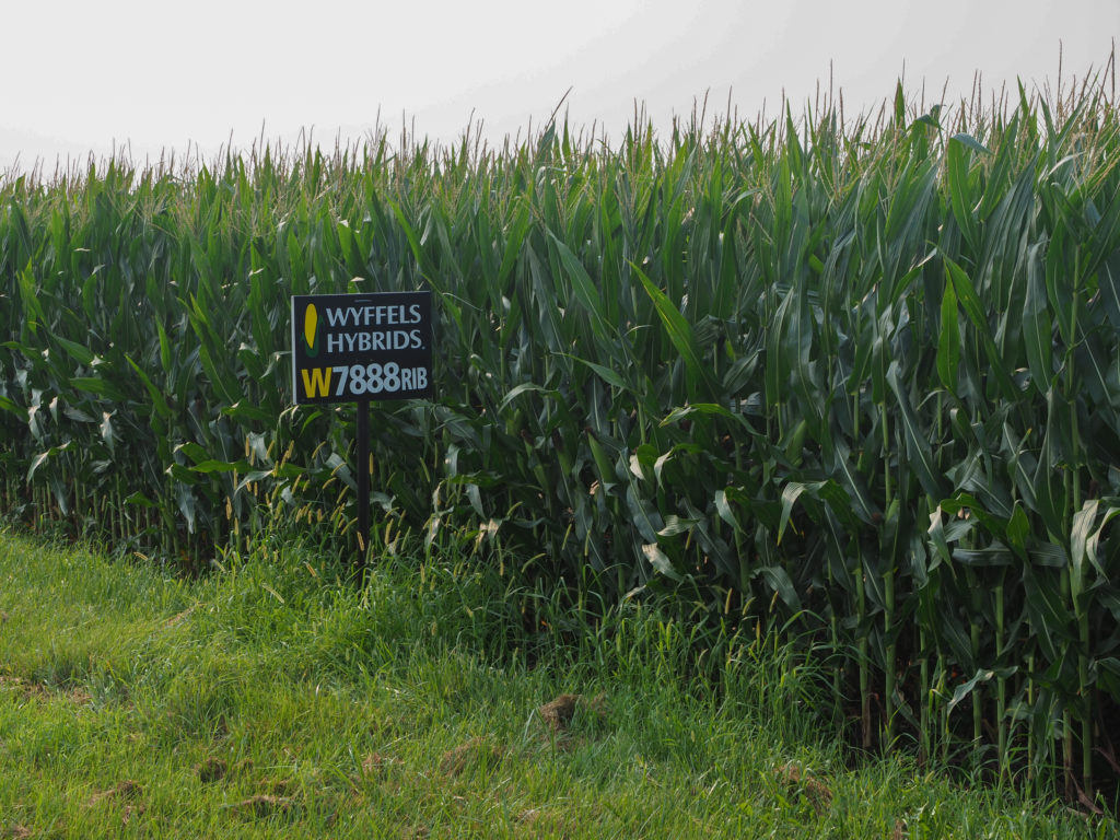
For the past few weeks I’ve seen signs like this. I assume marking the seeds planted in this field.

The morning was pleasantly cool and dry, the nicest weather I’ve had in over a week. Highs are only supposed to get into the low 70’s so great for riding, except for the wind.  With any kind of headwind it’s hard for me to make much more than 10 MPH. My typical flat, windless cruising speed on my touring bike is about 15 MPH but that almost never happened on this tour. If not hills then headwind.

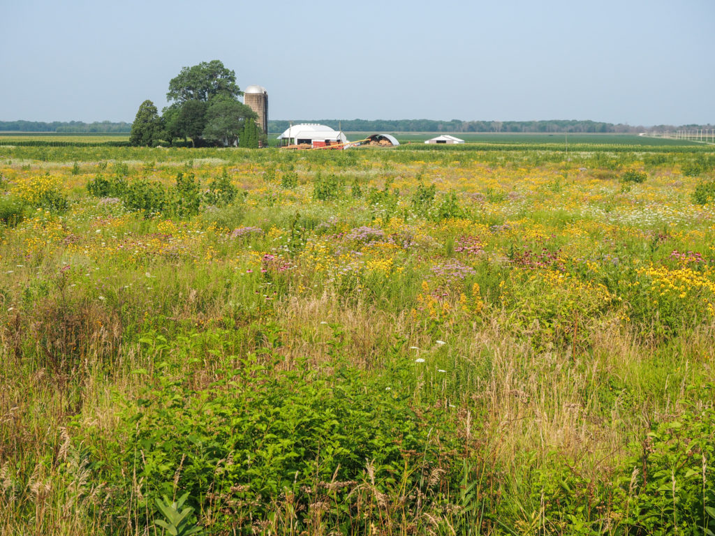
Still seeing wildflowers where crops aren’t planted

The route was fine for about 20 miles then I hit dirt road. I rode a couple miles south and joined route 116 which is one of the main roads through the area, not heavily traveled but has traffic and very little shoulder, a lot like a road in Montana but without the crazy speed limit so felt much safer. After a couple miles 116 made a right hand turn south but a local road continued straight.  I continued straight and with a couple stair steps Google had me at my mid point stop, Circle K. I walked in expecting to grab whatever hot food they had or maybe a refrigerated sandwich I could microwave but I found an attached DQ! I don’t understand why DQ makes me so happy on this tour. I had some chicken strips, lemonade and a blizzard, good fuel for the next 40 miles.

Look at the dark soil in the background.

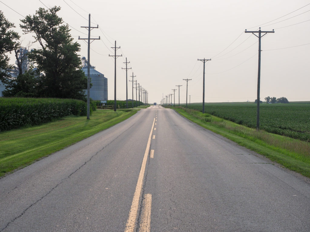
The morning seemed to take a long time. It really didn’t, certainly longer with the wind but the ride felt like it went on forever. I don’t normally feel this way, maybe it was the wind which I hate or the same flat scenery I’ve seen for days.  I still really like the roads out here.  Super quiet and peaceful but would be better without wind.

Lone tree down the road.

I made it through the afternoon without any road issues and crossed into Indiana towards the end of the day. There was no sign since I was on a back road but I could see a change in the road surface so that was a clue I crossed into another state.

Iroquois River. All rivers around here don’t look all that inviting.

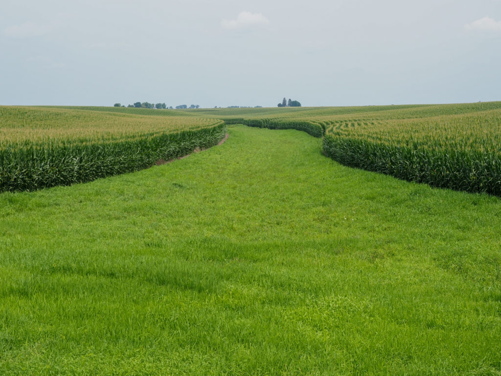
I’m struggling to find interesting things to photograph in continuous fields of corn and soybeans. I have a thing for leading lines which is why I like road pictures or lines in fields but that’s about all I have to work with. If you haven’t figured it out, almost all of my pictures are taken while straddling the bike. It’s not easy to get off and lay this thing down, there is no kickstand, which makes it hard to get creative with the photography.

Wildflowers, makes me wonder what this area looked like centuries ago before corn became king.

I made it to my motel a little after 4:00 which isn’t too bad. I noticed a DQ down the road so I went for a Peanut Buster Parfait.  I wonder if this DQ thing will stick after the tour. 

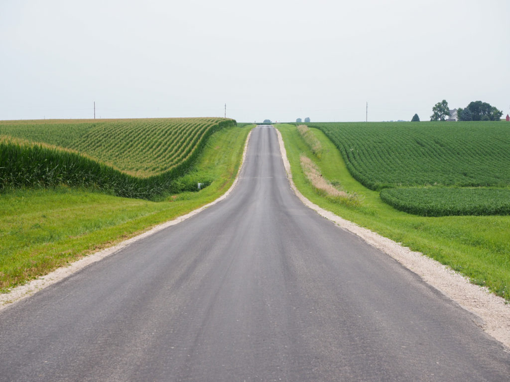
About all I saw for hills.

Dinner was a Mexican Restaurant next door which turned out to be a large Mexican grocery store with a small restaurant attached. One of the benefits of getting out of the northern plains is diversity. I had an awesome carnitas dinner, not something I would find in rural Montana. I’m so happy to eat something other than steak, burgers or fried chicken.

I saw this hill and though that must be a landfill. It is a landfill.
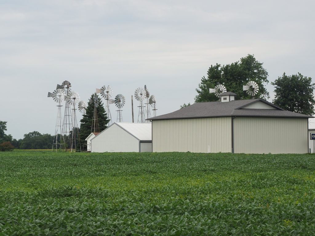
Someone has a collection of windmills.

Day 44: July 29, Wenona, IL -> Pontiac, IL

Start: 11:08 AM

Finish: 1:28 PM  

Saddle Time: 2:11

Ascent: 90 feet

Descent:  103 feet

Miles: 36

Total Miles: 2,631

Highlight: Really strong tailwind!

Lowlight: Constant threat of thunderstorms ahead.

Cyclemeter:  Follow this link to see the data I’m collecting with the cyclemeter app. You can see gps information, speed, elevation, distance, cadence and heart rate. Better viewed on a computer where it’s easier to play around with the graphs.

Change of plans today. I got up at 5:00 AM so I could leave early for my 95 mile day and was ready to leave by 6:15 then I looked out the window. The clouds look really threatening and my weather app had strong thunderstorms warnings around my area but not directly over me.  I headed outside to leave but had second thoughts.  The NOAA app showed lightning strikes within a few miles of me so I decided to hold off and come up with a plan B.

More of the same quiet roads with the threat of storms on the horizon.

I considered just taking a rest day but that would require me to change reservations for the weekend and everything was booked up.  I may have a weather window mid day but not enough time for a 95 mile ride. The town of Pontiac is located to my southeast, slightly off route, but puts me within striking distance of my reservation for tomorrow in Rensselaer (Regeneron people will find that amusing). My bike navigation app says it will be a 105 mile ride while Google claims to get me there in 81 miles.  Google’s route is very direct and only goes through one town which happens to be mid way, perfect for me to grab food and water. It the road choice turns out bad I can always reroute back to the northern tier.

Something visually interesting that’s not corn or soybeans.

I had a really strong tailwind for my easterly riding. I was in one of my big gears cruising along at 22 MPH with little effort. The last 10 miles were mostly south  but the crosswind made riding more difficult and I could see very dark clouds on the horizon. NOAA called for strong storms within the hour. I made it to my motel with visible lightning strikes just to my south but the storm never made it this far north.  In hindsight I probably could have made the whole 95 miles since the tailwind was so strong at the storm stayed just south of my route but you just never know so I’m glad I changed plans. At least it doesn’t impact my future reservations or add any additional time to my trip. I’ve gone a long time without weather problems, was bound to happen.

The roads were still great for riding but I was just trying to make time and outrun the storm so I only took a few pictures. Since I have nothing else to talk about I’ll tell you about the birds.  For the past couple weeks I’ve been getting attacked by nesting redwing blackbirds.  They fly over my head yelling up a storm with the occasional brave bird dive bombing my helmet covered head. I guess they nest in the corn or soybean field since there is nothing else around.

One of the birds that have been attacking me the past couple weeks.

With such a short day I’ll have more time for route planning tonight. I know where I’m staying out to Fort Wayne Sunday but haven’t yet looked ahead. The route goes northeast from Fort Wayne to Lake Erie just east of Sandusky, Ohio then through Cleveland and on to Buffalo, New York where I’ll follow the Erie Canal to Albany, New York then head southeast to home. I’m thinking about 2 weeks from now so about August 12-14.

I turned comments on for this and the last few posts if anyone has any questions. When I setup this blog many years ago I found comments were just getting filled with spam. I’ll see how it goes.

Day 43: July 28, Kewanee, IL -> Wenona, IL

Start: 7:54 AM

Finish: 2:27 PM  

Saddle Time: 4:57

Ascent: 381 feet

Descent:  471 feet

Miles: 64

Total Miles: 2,595

Highlight: Road conditions were a continuation of yesterday.

Lowlight: The weather looked threatening all day, like it was going thunder and lightning.  Not sure what I would do in the middle of a corn field.

Cyclemeter:  Follow this link to see the data I’m collecting with the cyclemeter app. You can see gps information, speed, elevation, distance, cadence and heart rate. Better viewed on a computer where it’s easier to play around with the graphs.

Another great day of riding in Illinois. It’s only been two days and maybe 150 miles but Illinois is shaping up to be my second favorite state for riding, second to Minnesota. The scenery isn’t special, it’s just corn and soybean fields, but it’s just so peaceful on these back country roads. For a good 3/4 of the day I was passed by maybe a dozen cars. Also, my legs appreciate the lack of hills.

For most of the ride this is about all the hills I saw.

I was in no rush to get going this morning since it will be a shorter day, only about 65 miles.  My distances are still chosen largely based on where I can find accommodations.  I’d like to do about 80 miles a day but will take what I can get.

I’m always looking for lines and colors to photograph, that’s about all I have in farm country.

I’ve gone through phases on this tour of absolutely hating the thought of going to a restaurant, last night was one of those nights.  I went to the supermarket and bought a package of 4 tamales, a bag of salad, an avocado, two containers of yogurt, a couple pieces of cheesecake and a 4-pack of beer. This was after stopping by on the way in to town for a couple pieces of fried chicken to hold me over until dinner. I figured I would eat about half tonight and the rest in the morning, except for the beer, it’s not for breakfast. Great dinner and a huge breakfast.

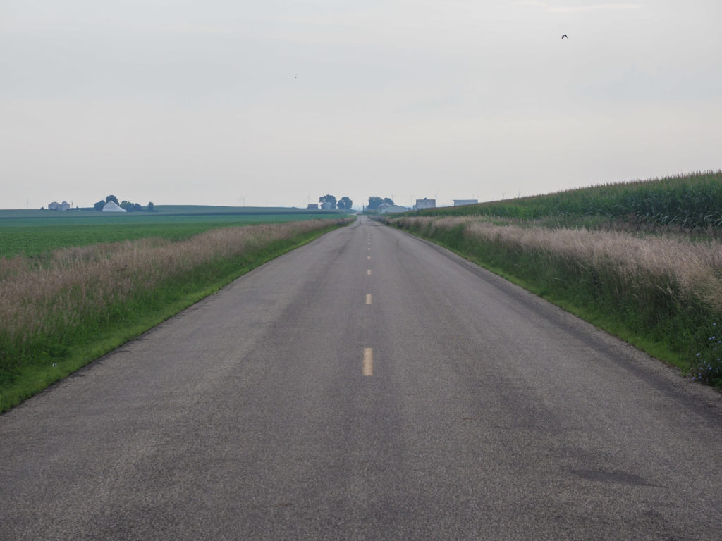
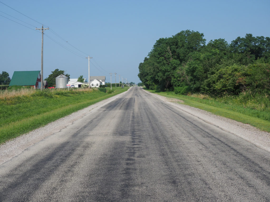
Typical road I was on in Illinois.

With my full fuel tank and a short ride I changed my daily plan from what I described yesterday.  Instead of stopping for second breakfast around 20-30 miles I went on to 40 miles which worked out perfectly for a DQ just before the Illinois River. I don’t think I’ve ever eaten anything but ice cream at DQ, in fact before his trip I haven’t eaten ice cream at DQ in probably 30 years, back when it was Dairy Queen. For whatever reason DQ is always on my mind. I had chicken, fries and a blizzard, fueled me up for my climb out of the Illinois River valley.  It wasn’t much of climb but was steep for a short bit, likely made more difficult with my full stomach.

More wind farms today.

The scenery was a continuation of yesterday, mostly corn and soybean but I had my mind on the weather.  In the morning my navigation app showed a severe thunderstorm warning for areas north of me.  This wasn’t close, basically south of Chicago and up Lake Michigan but the skies were getting visibly dark to the  north and quickly overcast in my area. After a while I heard thunder off in the distance and had a few drops of rain. I kept checking my weather app which showed clear blue skies for my area, obviously not the case. I went to NOAA’s live radar which showed storms to the north but not close to me. At about 10:00 the area I was in showed 80% chance of thunderstorms for 11:00 so I thought I may stay ahead of the storm plus I was zigzagging southeast. I don’t know what I would do if a severe storm hit me in a corn field.

I was trying to make time south when I saw this and thought it would make a good picture. It’s my favorite of the day but I my iPhone did a better job with the dynamic range (on my instagram).

I continued to see wind turbines, maybe it’s my route through the state but I’ve seen far more wind farms in Illinois than elsewhere. I saw more crop dusters today but this time airplanes. These guys do some crazy flying. I got a little caught up taking pictures until I realized he seemed to avoid dumping whatever he was dumping on me so I high tailed it out of the area.

Crossing the Illinois RIver on this old bridge.

My other issue for the day is my rear wheel.  I mentioned yesterday I was loosing pressure. I replaced the inner tube last night which seemed to hold overnight but that’s not my problem.  On a section of exceptionally smooth road I noticed a hump in the wheel, like I was riding over something with each revolution.  I stopped and examined the tire which looked fine, the wheel must need truing. 

Crop duster was interesting to watch.

Once at my motel I took a closer look at my wheel, clearly it needed radial adjustment. I’m no bike mechanic but I could work on my gears in a pinch or replace a cable but I know very little about truing a wheel and the closest bike shop is a couple hundred miles away so I went to YouTube. I think I could do this but the bike is totally rideable. I may just make it worse, better to wait for a professional.

This is a little too close with whatever he’s dropping.

Tomorrow is a big day, 95 miles. I may be able to shorten by 5 miles at the very end but I need to check road conditions, don’t want another dirt road situation like a couple days ago. The weather still looks hot and humid for another day but dropping to the low 70’s Friday.  I hope so.  When I walked out of my motel this evening for dinner I thought how did I bike in this?

As much as I tried to remove the haze in this photo you can still see it. Very humid day.

Day 42: July 27, Muscatine, IA -> Kewanee, IL

Start: 7:38 AM

Finish: 4:10 PM  

Saddle Time: 6:28

Ascent: 527 feet

Descent:  321 feet

Miles: 81

Total Miles: 2,531

Highlight: Crossed over into Illinois, state number 8

Lowlight: My predicted all day tailwind never materialized. I had a fair amount of headwind but it wasn’t too bad.

Cyclemeter:  Follow this link to see the data I’m collecting with the cyclemeter app. You can see gps information, speed, elevation, distance, cadence and heart rate. Better viewed on a computer where it’s easier to play around with the graphs.

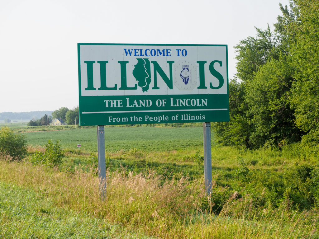
Crossed over the Mississippi River for the final time into Illinois, state number 8.

Great day of riding today. I crossed the Mississippi River for the last time and into Illinois. The climb out of the river valley was much shorter and less steep than on the western side. I’ve been down on Adventure Cycling for the past several days with the route through Wisconsin and Iowa which I think went too far west when I believe a route heading southeast was possible.  Well I don’t know what I’m talking about especially after yesterday when my routing ended up on dirt roads. Perhaps Adventure Cycling had their reasons, today may have been a sign of that logic. All day was like riding a rail trail with super quiet and flat country roads.

Still seeing all corn and soybeans in Illinois.

I started the day with breakfast from the Kwik Stop next door, a gas station convenience store popular in the area.  Gas stations here and further west don’t just sell gas and snacks, they double as fast food restaurants since most of the towns I’ve passed through are too small to support chain stores. Kwik Stop sells a lot of food options. I had a sausage, egg and cheese on a waffle along with coffee.  I also came here last night for second dinner (not a normal thing).  I didn’t think my serving from a local fast food chain Maid-Rite was enough to refuel my body so I grabbed some chicken and fries from Kwik Stop. The unfortunately named Maid-Rite is not a maid service but a chain that serves loose meat sandwiches, think sloppy Joe without the sloppy, basically seasoned ground beef. I don’t normally eat fast food for dinner but I was on the outskirts of a decent sized town with nothing else close by.

Anywhere crops aren’t planted I see wildflowers.

Most of the day was spent riding through Illinois farm land. Lots of corn and soybeans but one difference I noticed was less cattle.  Not that I saw all that many cows in Iowa and Wisconsin but I definitely smelled them. Very little of that in Illinois. I passed a very large wind farm.  I’ve seen wind turbines throughout the west but this was the most I’ve seen and closest I’ve been.

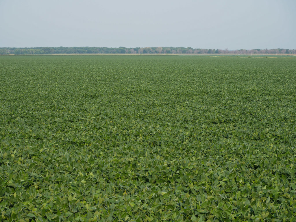
Large, flat field of soybean. Very little for hills on this route.

Not much else to say about what I saw so I’ll talk about how I’ve been riding my days. I like to bang out about 30 miles in the morning while it’s still cool and the wind hasn’t picked up.  I look for towns about that distance that have a gas station, typically a Kwik Stop or Casey’s (like Kwik stop). Lately I’ve been stopping at Caseys to get a breakfast pizza (sausage, egg, cheese on a pizza crust), a donut and a gatorade. I then look for another town about 20 miles after that where I stop for more gatorade and an ice cream of some kind. This leave about 20-30 miles for the day.  At each stop I refill my water bottles. It’s been working great, one of the benefits of being this far east is more towns to choose from. Further west I was typically snacking out of my bags.

Large, flat field of corn

I’m having more tire troubles.  My back tire has a slow leak which I couldn’t find this evening.  I should have just replaced the tube but I put the old one back in thinking maybe the valve wasn’t seated properly or a piece of dir was holding it open. As I write this at 10:30pm it’s low again.  I need to swap out the tube before I hit the road tomorrow.  The tire is also looking worn, not like back in North Dakota but I don’t think this tire has 1,000 mile left in it so I’ll keep an eye out for bike shops.

Throught this tour I’ve seen old farms and farmhouses. I always wondered about their story.

I’m hoping the coming days in Illinois and Indiana are like today which was really pleasant. The route from here goes east to Fort Wayne, Indiana then northeast to Lake Erie. Looking at the map I am impressed with how far I’ve come. Home feels almost in sight.

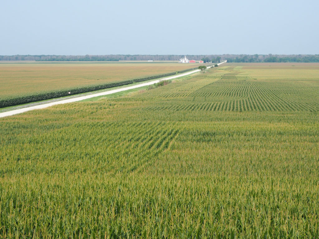
I like how the lines lead to the farm in the distance.
Typical road I was on in Illinois.
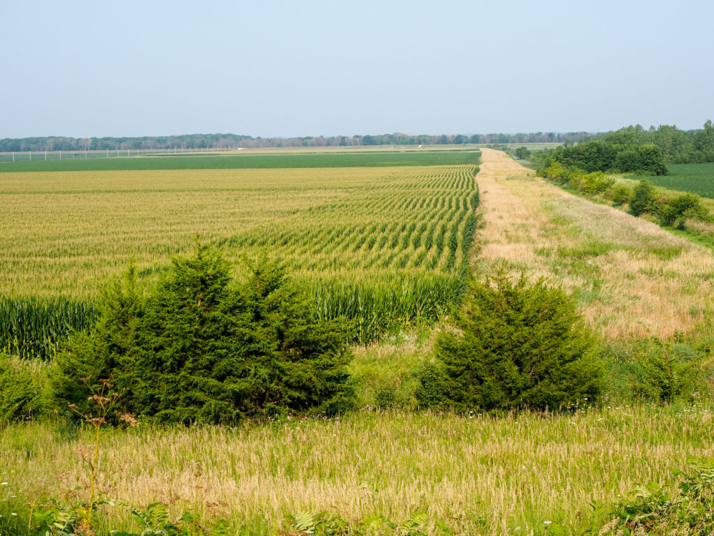
Always looking for interesting ways to photograph corn since it’s about all I see.
About as much of a hill I saw in Illinois.
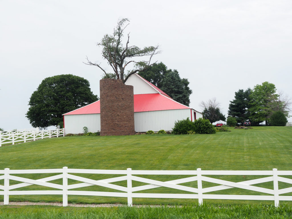
That tree is growing out of the ruins of an old silo.
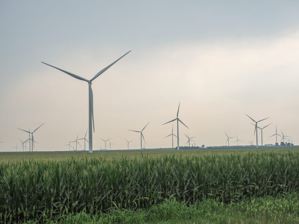
I came across this large wind farm in a field of soy. There were dozens of turbines visible on the horizon.