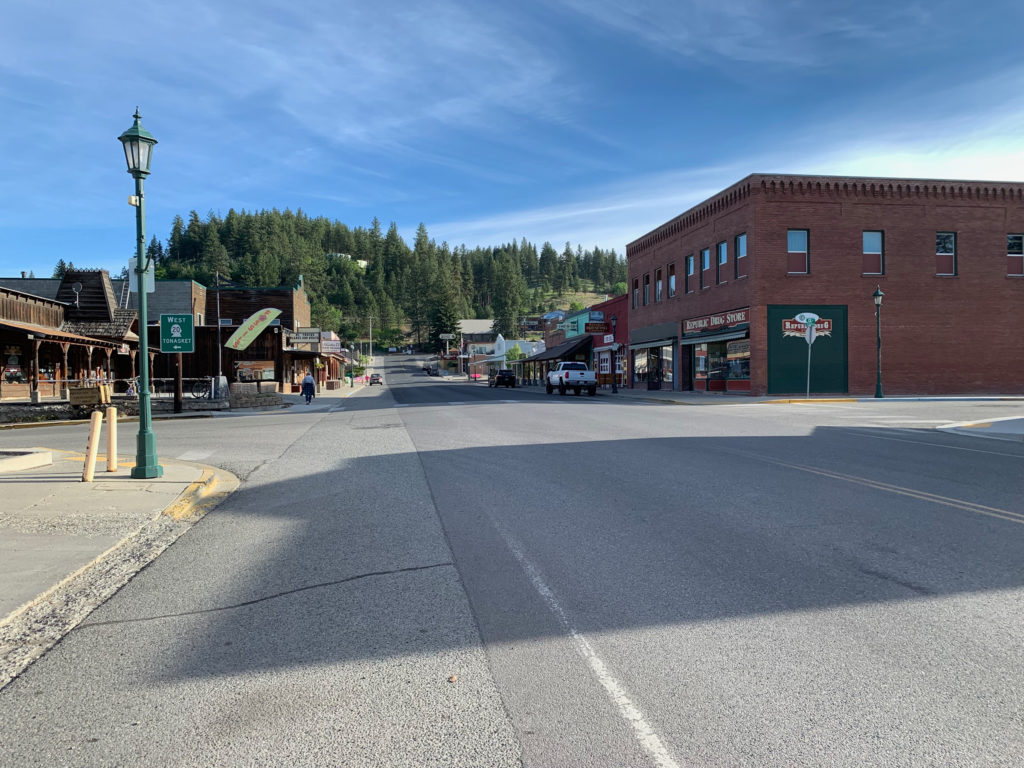
Day 11: June 26, Heron, MT -> Libby, MT

Start: 7:40am

Finish: 3:00pm

Saddle time: 5:15

Ascent:  1,041 feet

Descent:  1,401 feet

Miles: 63

Total Miles: 617

Highlight:  Talking to the inn owner over breakfast.

Lowlight: Got into town early but getting things done took a long time.

Cyclemeter:  Follow this link to see the data I’m collecting with the cyclemeter app. You can see gps information, speed, elevation, distance, cadence and heart rate. Better viewed on a computer where it’s easier to play around with the graphs.

I used this morning as a test of how long it takes me to wake up, pack up, and be ready to roll.  I don’t have to cook breakfast this morning so all I have to do is pack up my bike and go over the the inn.  I am getting better with a pack up routine and I’m able to multitask that with making/consuming coffee and oatmeal but today was just pack up and go.  I got up at 5:10 which is 4:10 to my body after gaining an hour crossing into Montana yesterday. My routine is to pack up my sleeping stuff inside the tent before leaving then move to the outside and normally make coffee while taking down the tent. I didn’t have everything packed up, on the bike, and ready to go until 6:00. So there you go, part of the reason I hate camping. In addition to that I didn’t sleep well last night, really congested even with the Claritin.
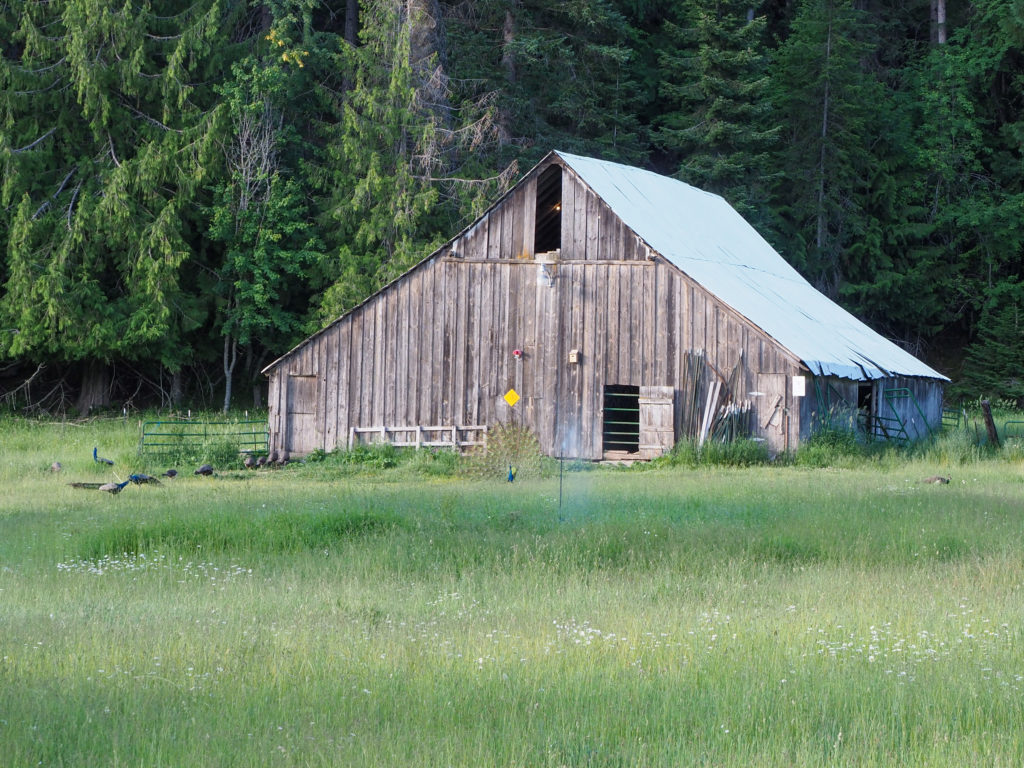
Barn behind the Amber Bear Inn. Look closely to see one of many peacocks

Breakfast was great, better to get loaded up now because there’s not much chance for second breakfast on todays route. Had a great conversation with the husband over breakfast.  He was telling me how his family lived in this area for seven generations, some move away last generation including his immediate family, he lived in Seattle for a time.  He was telling me how the county is the size of Massachusetts with a population of 11,000 people, a median household income of $23,000 and many don’t have running water.  At the same time there are a lot of Amazon/Google/etc employees moving out here.  I wondered about the culture clash. He said it’s a big, the two stay far enough apart.  I did see my first “Fuck Biden” sign a ways down the road.  Another house had huge Trump display, how the election was stolen, the usual bullshit. 

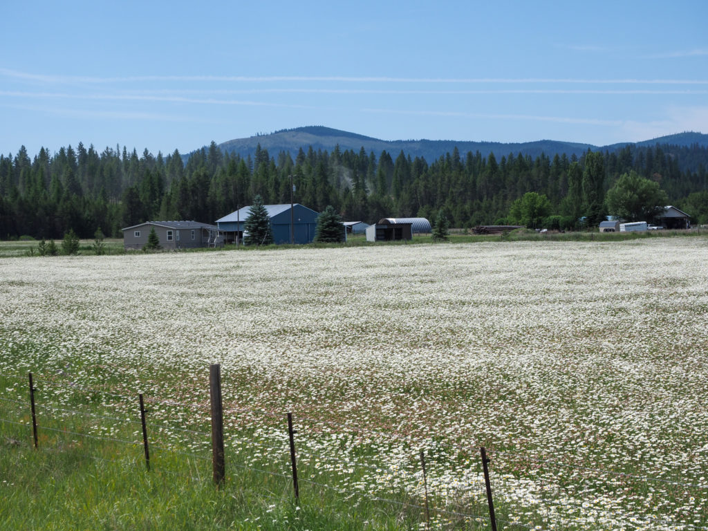
Field on the way to Libby, MT. Look closely to see the deer.

He has cameras outside all over the place, a little creepy, actually.  He explained to me why he set them up.  When building the inn they had issues with what he called ecoterrorists, the kind that spike trees and such.  I guess their thought was no one should live here. They came in and vandalized the property so he setup cameras to help monitor the place which also enabled him to keep an eye on animal activity, like bears.  He checked his cameras from last night, no bears. Good.

He was telling me about a superfund site not too far from there, Libby, Montana. They used to mine vermiculite which produces asbestos or an asbestos like product, the town was essentially bathed in the stuff.  Over the years about 400 people died of mesothelioma so the mine was eventually shut down in 1990.  About 3,000 people suffered the effects.  This is a town with a current population of about 4,000. Holy shit! I told him I’m planning on camping there tonight.  He gave me a look of good luck. He thinks the town isn’t even safe to drive through, I’m hoping that’s an exaggeration.

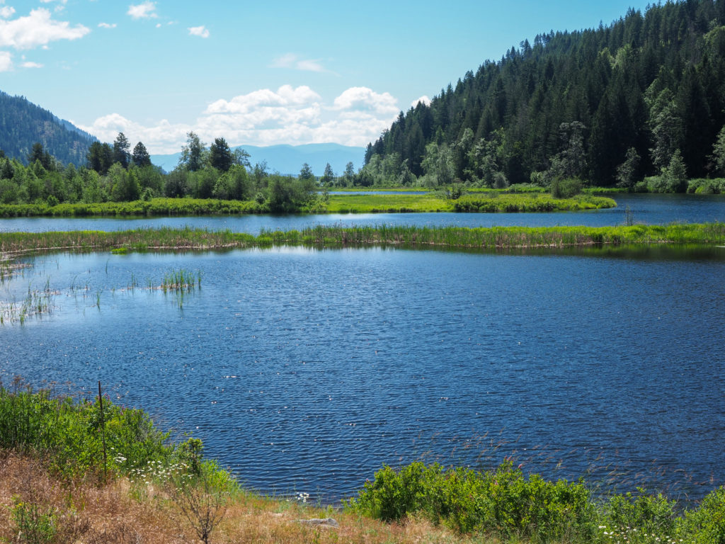
Cabinet Gorge Reservoir in Heron, MT

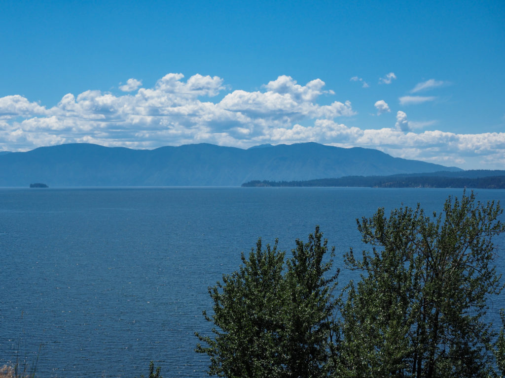
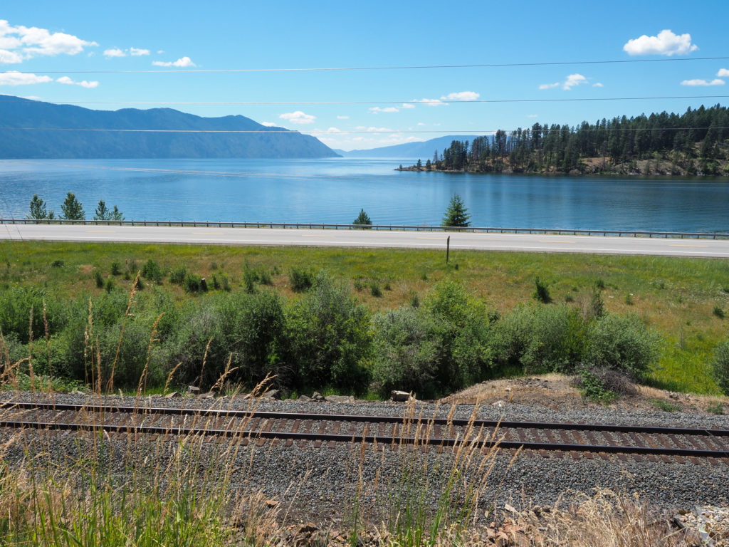
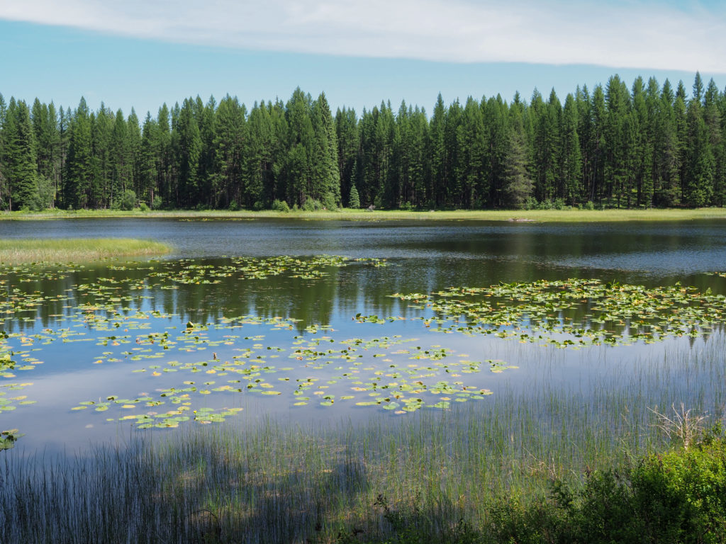
My start was later than I wanted, I really need to get going early with the heat rolling in.  The scenery is great with mountains on two side, the Cabinet Mountains to the north and Bitterroot Mountains to the south. The first part of the ride was along the Cabinet Reservoir in the valley of the two ranges, then headed north toward Libby. Comfortably cool with little traffic. As the day went on the heat became more oppressive.  The ride wasn’t hard, about 60 miles with rolling hills, nothing steep but towards the end I was really looking forward to reaching town. 

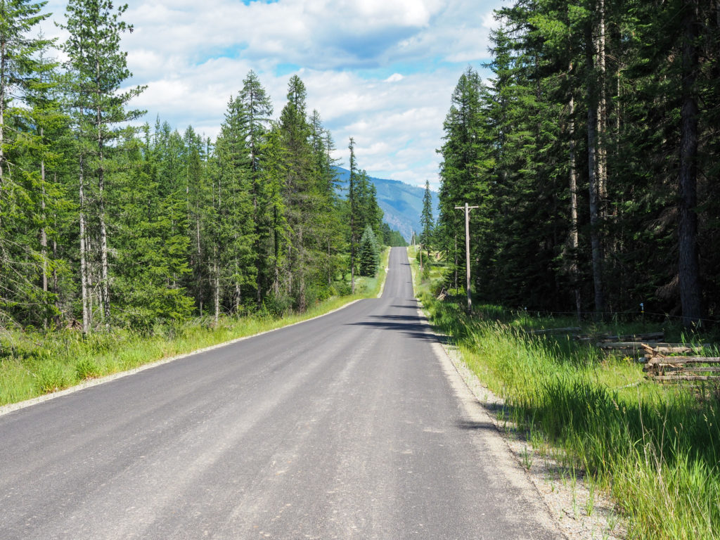
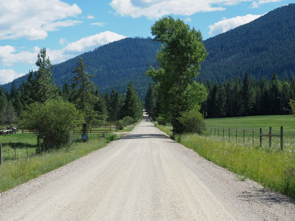
Open roads in Montana but the speed limit is too high at 70mph

Stopped at an RV park just outside town but couldn’t find anyone in the office.  I rolled on to a city park that has camping, the Volunteer Firefighters Memorial Park, only $10/night.  I found the last available site, was filling out my card when an RV owner came up asking if I was the manager, I couldn’t find him either.  I offered to give my site to her and camp in what looked like a tent area with just a couple picnic tables in a field.  It was right on the road so not ideal but just a place to sleep for the night.  The manager showed up a little while later and let me camp for free since I offered up my spot.  More nice people.

Nice view with a cabin in the background

Headed over to the local brewery to celebrate another day with a couple beers. Brought my dirty clothes and shower gear with me because there’s no shower at the campground so I planned on going to a laundromat for a shower and laundry.  This started a long afternoon of everything taking too much time, maybe it was the two beers on an empty stomach and tired body.  I had to contact the laundromat owner to let me in the shower which took a while, then realized I forgot my clean clothes at camp, went to a restaurant that took forever, etc.  I expected to be back at camp by maybe 6:00 but it was more like 8:00 and it was still hot, over 90 degrees. Didn’t get comfortable until nearly midnight.

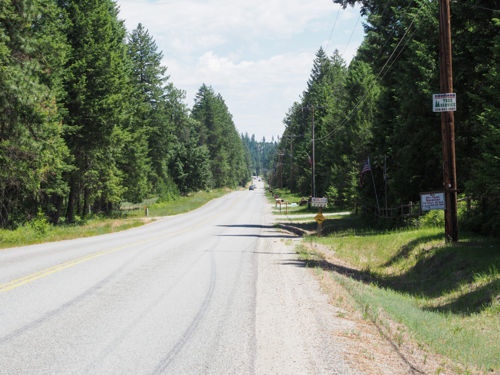
Along route 56 heading to Libby,MT

I’m getting more concerned about the heat.  It’s going to be 10 degrees hotter in a few days.  I can’t camp in that weather and I’ll be near Glacier NP where everything is really expensive and booked up in advance. Plus the holiday weekend is coming up. I need to figure this out.

Tried to work on some blog/instagram/photos but didn’t get much done.  Went to bed and started to feel congested again, I think some of the pollen must have carried over from last night. See why I hate camping?
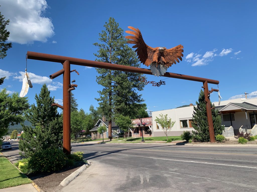
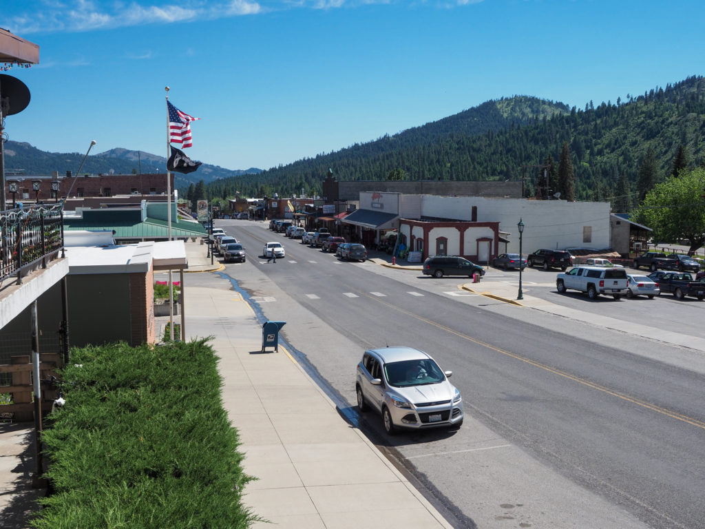
For some reason Libby is City of Eagles. I didn’t see any.

Day 10: June 25, Sandpoint, ID -> Heron, MT

Start: 10:25

Finish: 3:28

Saddle time: 3:16

Ascent:  732 feet

Descent:  338 feet

Miles: 42.2

Total Miles: 552.4

Highlight:  A portion of the ride paralleled highway 200, likely on the old road.  Scenic and no traffic.

Lowlight: Camped in a grassy field leaving me all congested.

Cyclemeter: Follow this link to see the data I’m collecting with the cyclemeter app. You can see gps information, speed, elevation, distance, cadence and heart rate. Better viewed on a computer where it’s easier to play around with the graphs.

I really wish I made it into town earlier last night, would like to have explored more.  I did walk around a bit but it was hot in the sun.  I’m getting increasingly concerned with the heatwave about to descend on this area. I’m getting close to Glacier NP with lots of people and likely little opportunity for hotel stays.  I need to spend time figuring this out.

Today is Friday and I’m a bit worried the campgrounds further down the road will be full by the time I get there.  I’m starting to learn that many RV parks allow cyclists and bikers to just roll up and grab a patch of ground without occupying an RV site.  From what I’ve seen at USFS sites there really isn’t much in the way of overflow space so I’m not sure what would happen if I show up and the campground is full, don’t want to find out today.

There’s not much between here and Libby, MT which is about 95 miles away, too much for me to do in one day at this point.  The Amber Bear Inn  is about 45 miles away, a little shorter than I would like but I would assure a place to stay.  I called and all the rooms were booked but I could camp out back for $20 with access to their bathroom (no shower), will have to do.

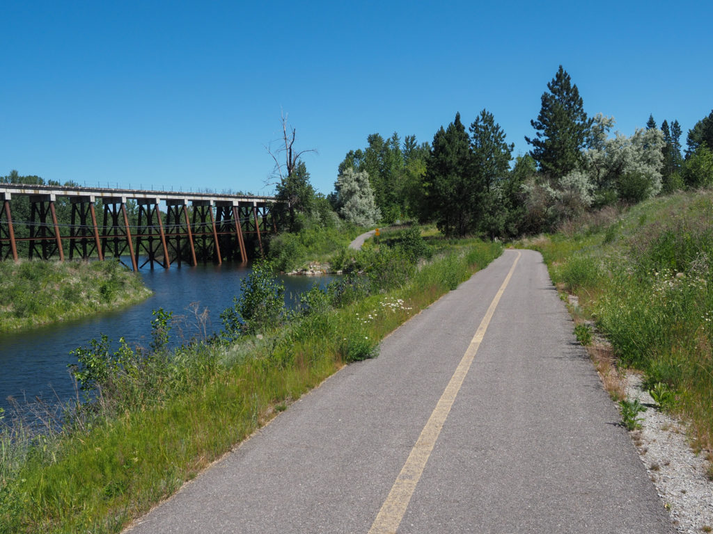
Bike path leaving Sandpoint, Idaho

Since it was a short day I took my time getting moving, made use of the (actual) high speed internet in my relatively expensive hotel and left about 10:30.  The ride was mostly along Lake Pend Oreille which is huge.  Headed out of town on a bike path then on to highway 200 which I would follow off and on most of the way.  The road was busy with lots of car and truck traffic along with a bunch of RV’s, maybe heading to Glacier.  Like I said, it is a Friday. Glad I made reservations.

Along route 200 in Idaho

Eventually the route went off 200 on what I imagine was the old road through the area, sitting further up the hillside I had nice views of the lake and highway below.  There was no traffic, awesome riding

Lake Pend Oreille

I made it into the town of Clark Fork, ID around 1:00 or so and stopped at the local store for a gatorade and hushpuppy, as usual you take what you can get when riding. There was a restaurant across the street but I prefer to eat quick and light so I can make time and not let my muscles cool down and stiffen up. 

Looking down on route 200 and Lake Pend Oreille

For some reason I know the town of Clark Fork, a little nothing of a town with a population of about 500 sitting on the banks of the Clark Fork river flowing into the eastern end of Lake Pend Oreille.  I looked it up on wikipedia while eating my hushpuppy.  It was named after William Clark of Lewis and Clark and was an important trading town back in the fur trapper days but that’s all I could gather.  Maybe it’s mentioned in old westerns, or something.

Looking down on route 200 and Lake Pend Oreille

The route veered off 200 for the rest of the ride on a nice country road across the river from 200.  Apparently that stretch of 200 while scenic is very dangerous for cyclists.  With narrow roads and steep cliffs a number of cyclists were killed before the bike route was moved off that section of road to across the river.  The road crosses the Montana line but there was no sign.  It became apparent when the road conditions changed from chip seal to new asphalt. As the inn owner later told me the state dug up the old road about 10 years ago with the intent of replacing it but didn’t get around to it for nearly a decade, glad it’s paved as I roll through.

Road in Montana

I made it to the inn about 3:30. The inn sits on 400 acres really in the middle of nowhere, there’s nothing out here.  There was a sign pointing down a dusty dirt road which gave me thoughts of The Deliverance.  Where was this leading?  The inn also has a casino which really was just a room off the side with some slot machines.  Curious, I asked about the casino. The owner explained that Montana allows casinos on non Indian lands but the state takes a big cut, 97% of proceeds.  The rental company for the slots takes half of the rest leaving the inn owners with 1.5%.  I may have my numbers wrong but that’s about what he said.  The state takes a huge cut.  I’m writing this a couple days in the future and I’ve been seeing “casinos” everywhere.

Nice Montana view

The owners are a very nice and friendly couple, both coming from former IT related careers before building the inn.  The wife greeted to me and said jokingly “we have sprinklers going if you want to cool off”.  They water the lawn out front fed from a stream, for the elk. I later said “I know you are joking about the sprinkler but seriously I would like to cool down and clean up. Is there a hose around I can use?”.  She looked at me strangely and said “like an outdoor shower?”.  I said “yes, I’m really hot and sweaty”. She said they have natural spring out back in the woods if I would like to use that.  While walking my bike over to a patch of grass where I would camp I hear one of the guests yell out “hey John! Want to use my shower?”. I gladly said yes, so nice.

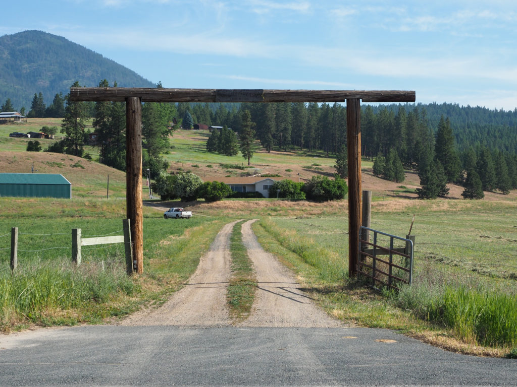
Dirt road leading into the Amber Bear Inn where I stayed

After my shower the husband comes up to me and says “how do you feel about bears?”.  I said, “fine with me if they stay away”. He said “good because we have them around here but they typically stay close to the edge of the field.”.  I asked “black or grizzly?”.  He said “Yes”.  Should be an interesting night.  I don’t have actual bear spray but when I got out here I bought one of those small personal protection pepper sprays, for animals and rednecks.  Hope it’s enough for bear if it comes to that.

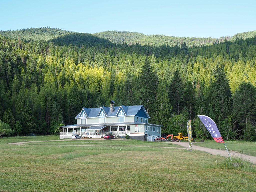
Amber Bear Inn, Heron, MT

The wife asked me about breakfast.  I said I want to head out early.  She said she’s used to making 6:00am breakfasts for cyclists so I took her up on the offer, no need to cook oatmeal before I leave.  

View from the Amber Bear Inn

Started setting up my tent in a field under a pine tree between piles of elk droppings and started to feel myself getting congested, figured it must be grass pollen since the grass was high.  I took a Claritin from my first aide kit.

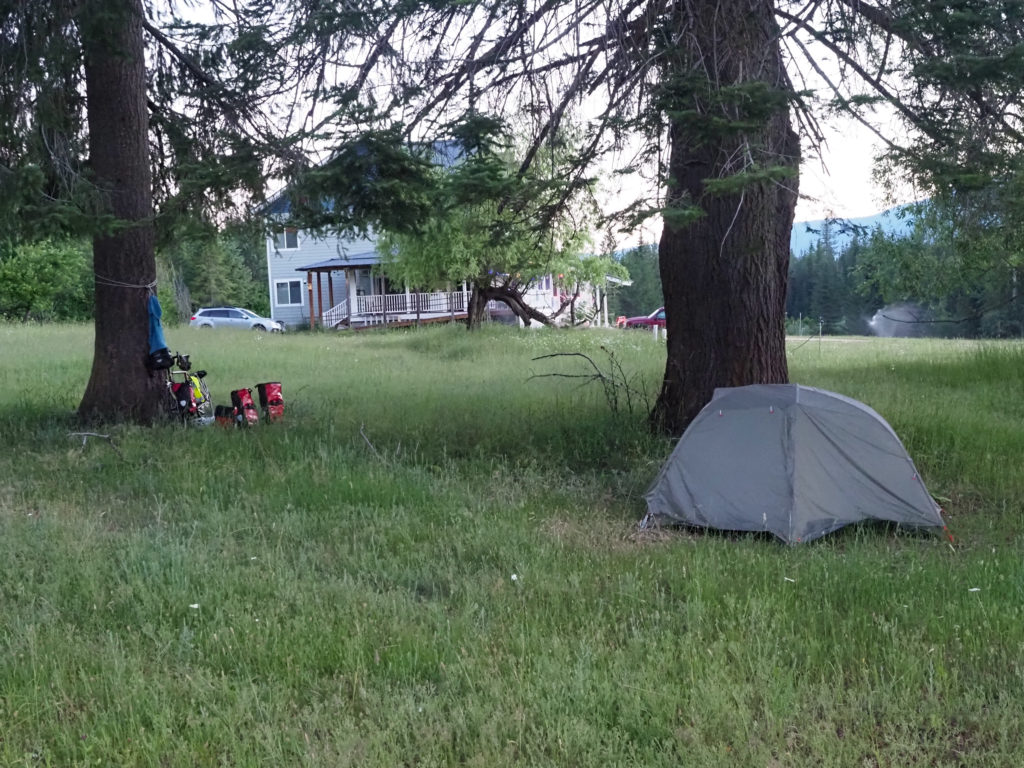
My campsite 5:30 the next morning.

Had a nice, big roast pork dinner from the restaurant, a couple beers and was ready for bed but it doesn’t get dark here until about 11:00.

I kept hearing this noise like some kind of call, sounded like a peacock but coming from many directions.  Feeling a little east coast stupid I embarrassingly asked (the husband of the woman who let me take a shower) what’s that noise.  He said peacocks, the owner has a bunch of peacocks.  Later that night I had one roosting in the pine tree above my tent, kept calling until about 11:30pm. With an open carry law I saw lots of people carrying sidearms.  Wish I had one about now.

Day 9: June 24, Cusick, WA -> Sandpoint, ID

Start: 6:30

Finish: 4:05

Saddle time: 6:27

Ascent:  1,009 feet

Descent:  960 feet

Miles: 87.5

Total Miles: 511.2

Highlight: Massive second breakfast in Newport on the banks of the Pend Oreille river

Lowlight: Realizing I missed a turn almost 10 miles ago requiring me to double back

Cyclemeter:  Follow this link to see the data I’m collecting with the cyclemeter app. You can see gps information, speed, elevation, distance, cadence and heart rate. Better viewed on a computer where it’s easier to play around with the graphs.

I heard good things about Sandpoint, Idaho from some westbound cyclists who took a rest day there.  It’s too soon for me to take another rest day so I booked a hotel in town so I can explore. The ride is only about 60 miles and it’s my first flat day since day 1.  I should make good time.  I decided to leave early, partly to practice my early morning starts which will be necessary as the weather gets insanely hot next week and it also gives me more time to explore the town.

Along the Pend Oreille river.

The early morning ride was fantastic with a gentle breeze keeping me cool along with flat roads that made me feel like I was flying.  I continued to follow the river into Newport and eventually on in to Sandpoint.  The river spans a wide area of this region and connects on up into Canada.  There are a lot of old pylons in the water suggesting this was once a major transportation channel but that time ended long ago. 

Church along the Pend Oreille river.

I stopped at a small church along the way to take a picture and a guy came up to me asking about my trip, said he was into cycling and dreams about doing this someday. This type of conversation happens almost daily.  Typically it’s a slightly overweight middle aged man who starts the conversation something like this:  “well you can’t tell by looking at me but I am (or used to be) into cycling…”.

Marshland along the Pend Oreille river.

I made it in to Newport at the perfect time for second breakfast, too late for the breakfast crowd and tool early for lunch plus a restaurant on the banks of the river looked really inviting.   I ordered an “ultimate stacker” with hash browns, biscuits, eggs, sausage, gravy, and cheese.  Ate all of it and felt like I could eat more. In normal life I would feel sick for the next few hours.  Filling the tank turned out to be a good idea because I soon made a huge mistake adding on 20 miles and over two hours of riding.

I stayed at the restaurant for over an hour, working on my laptop, editing pictures and getting out yesterdays Instagram.  I didn’t want to get to Sandpoint too early, it was only about 30 miles away and still before 11:00.

I was thinking back about my time in Washington, took me 8 days of riding to cross the state.  Road conditions were quite good even though I complained a lot about the chip sealed roads but I must say the roads were in excellent condition, very few potholes. Washington drivers were fantastic, for the most part.  You get the occasional AIP (asshole in a pickup) but most drivers would move over into the other lane given the opportunity.  I must say, great state.

Entering Idaho

One the way out of town I stopped at the Idaho state sign to take a picture then continued to ride on down the road. I soon hit an unexpected steep and long hill, not the passes I have been climbing but a good several hundred foot elevation climb.  Once to the top I stopped for water when a pickup came out of a dusty side road.  The passenger yelled out to me “do you have enough water?”.  I just filled up in town so I was fine.  He warned me the road is hot and it’s a good ten miles to the next town.  I almost said I’m heading to Sandpoint but just said thank you instead.  Wish I did because he would have told me I’m heading in the wrong direction.

The road I followed for 10 miles too long, state highway 41

I think part of the reason I made this mistake was my mind was pondering rural internet.  The problems I have keeping this blog, Instagram and my photos up to date is not just time but bandwidth.  My internet connections have been terrible and even when connected everything takes a long time.  I’m not just talking about vast stretches of open space, in town cellular internet is often poor.  At one point the connection icon on my iPhone said E instead of 3G, 4G, or LTE.  E stands for EDGE, a network technology that dates back to the early 2000’s.  Totally useless for almost anything you would want to do online.  I haven’t seen this slow speed in a very long time.  With the world moving online these people might as well live in the developing world.  Actually it’s worse than that. I had better cellular data a decade ago in rural southeast Asia. 

The road I should have followed.

About an hour later I stopped to check my map but couldn’t find the blue dot, had to zoom out a lot.  Turns out I missed a turn at the bottom of the hill I climbed early, going about 10 miles in the wrong direction.  The only option was to backtrack adding about 20 miles and over 2 hours to my ride.  So much for getting to Sandpoint early to explore.

See that road to nowhere south? That’s my mistake.

Nice flowers along the road I followed for too long, state highway 41

I realized today that 60 miles or so is a good ride for me.  I still feel strong at that point and I think I recover well for the next day.  At 5 hours of saddle time I’m looking forward to getting off the bike.  When I hit 6 hours I’m ready to be done. I’ll see how this works out once I get out of the mountains but it may effect my game plan for how long this trip will take.

Saw a number of old barns or other structures.

The road into Sandpoint crosses a bridge that must be about a mile long.  They built a new bridge right next to the old one with the old bridge serving as pedestrian and bike traffic.  It reminded me of the Florida keys.

Very long bridge over the river/lake into Sandpoint. This old bridge is for pedestrians.

The hotel was centrally located so I had easy access to the main downtown area which is really only a few blocks.  I walked around a bit, visited a few breweries then was completely exhausted by 8:30, ready for bed.  Today unexpectedly was my longest mileage day yet.

Downtown Sandpoint, ID

Day 8: June 23, Colville, WA -> Cusick, WA

Start: 7:30

Finish: 2:50

Saddle time: 5:16

Ascent: 1,394 feet

Descent: 2,047 feet

Miles: 60

Total miles: 424

Highlight: The early morning climb out of the Columbia River valley. Country roads with scenic farm country.

Lowlight: Mosquitos at the campground. Incessant.

Cyclemeter: Follow this link to see the data I’m collecting with the cyclemeter app. You can see gps information, speed, elevation, distance, cadence and heart rate. Better viewed on a computer where it’s easier to play around with the graphs.

I didn’t sleep well last night so I got up a little late and made my usual camp breakfast, cleaned up after myself and packed up to go.  The hostel has four bedrooms, one is occupied by the host. He came in very late last night so I didn’t meet him and was still asleep when I left. No one else showed up last night. 

Barn along the road climbing out of the Columbia River Valley

I continued my climb out of the Columbia River valley, thankful I took a good clip out of it last night.  It was early so I felt good.  The first part of the ride was on back country roads through picturesque farmland with old barns could easily have been in New England.  I’m seeing lot more lakes and marshes as I ride.

Sun was just starting to break through the trees.

I reached a plateau and continued on for a while, stopping for a snack at a state park.  My water bottles were getting low so I was hoping they had taps available.  I followed the road down to the campground for a while but it seemed to go on forever so I turned around and went to a parking lot picnic area.  A trailhead here leads to some kind of radar dome.  The parking lot was HUGE and completely empty, I was the only one here.  It looked very new, everything was very clean.  I had the last of my cheese and crackers for snack.  My water situation wasn’t serious and I’ll be in Ione soon with a lot of downhill ahead. 

My snack stop in the morning. Place looked very new.

The decent into Ione was steep with a lot of sharp turns, glad I’m going down not up.  The bottom dropped me out at the Pend Oreille River valley.  I headed a few miles north to the town of Ione, about 25 miles from the Canadian border.  The town is tiny with a few streets, a gas station and a supermarket.  I’m planning on camping tonight so I have to pick up dinner.  Recall I changed my dinner packing plan from always carrying two meals to now just carrying emergency rations of cooked rice and canned sardines with the intent of buying along the way.  Tonights meal will be canned chili, rice and a can of wine.  I grabbed a burger, fries and a gatorade from the deli for lunch.

Downtown Ione, about 25 miles from Canada.

The next town is 50 miles away, a bit much for me at this point since it would make for a 90 mile day.  I opted to stay at a US Forest Service campground about 20 miles down the road, Panhandle Campground.

Entrance to someones driveway, very western.

My nemesis the headwind was back, slowing my progress quite a bit but I still made it to the campground before 3:00.  Cell signal was good so I thought I could spend some time online with the blog, instagram and my photos.

Seeing a lot more water along the way.

The campground was empty except for the manager couple. Several years ago the forest service privatized the management of most of its campgrounds to a for profit company which may seem like a bad mix of public and private but I must say the campgrounds that I have stayed in and visited have been very clean, this one is no exception.  The couple stays at this campground but oversees 11 in the area.

Along the Pend Oreille river.

They have seen cyclists passing through almost every night but I didn’t see any on the road today.  They told me about a father/daughter team a day or two ahead of me riding a tandem.  I wondered if Sierra or Savanna would be up for that.  My dive buddy Savanna perhaps but I hear Sierra has been riding indoors on a trainer.  Actually I wouldn’t want to be stuck on a tandem with either one, no thanks.

I setup camp and jumped in the river to clean up. Two problems with the evening were mosquitos and the sun.  The mosquitos were insane and the sun was blazing hot.  I moved around the campground trying to find a place in the shade with a bit of a breeze to keep the mosquitos at bay.  I couldn’t go in my tent because it was in full sun, I’d have to wait for it to set a bit. After a while I gave up, cracked open my can of wine and walked around the campground just to keep the bugs away.  I was happy to find out my canned wine wasn’t bad but maybe I’d drink anything right now for escape from the mosquitos.

Heated up my chili and rice for diner, jumped in the river again and climbed in my tent with my laptop for a while before bed.  It wasn’t a comfortable evening but the campground was very quite.  Tomorrow I have a hotel reservation in Sandpoint, Idaho.  I heard good things about this town from west bound cyclists so I’m staying in town to explore.

My campsite at the USFS Panhandle Camground

Day 6: June 21, Republic, WA, Rest Day

View of Republic, WA from my motel, the Klondike

I definitely needed a rest day today.  My legs are shot.  Headed out for breakfast at 7:00, pickup up a massive takeout omelet from the same restaurant I ate at last night and coffee from a coffee house.  I grazed off the omelette for the next few hours while I sat in bed editing photos, working on the blog and instagram.

I went through my gear looking for things to discard.  Sent home my arm and leg warmers, haven’t used them and with temperatures going into the high 90’s soon I don’t think I’ll need them.  

View up the street towards my motel in Republic, WA

Lightened my food load by choosing lighter items and less of it.  I had been packing 2 diners consisting of packaged cooked rice and packaged Dahl.  Not bad food but the Dahl especially adds weight.  After my sardine feast yesterday I thought a better alternative is one meal consisting of packaged rice and two tins of sardines.  I also trimmed down my lunch and snacks.  Trashed the Nutella and tortillas and opted to buy daily, keeping maybe a day and a half of “trail mix” type stuff and various bars on hand, restocking regularly.  This takes off a good amount of weight.  My preference is to eat out of my bags while on the road but eat in a restaurant at night which is why I have just one emergency diner on hand.  I’m not so remote that I won’t hit a town within a day.

Republic is a cool little town.  I didn’t do much other than walk around a bit, mostly sat in bed and worked on the laptop. And off course went to the brewery.

How I spent my rest day.