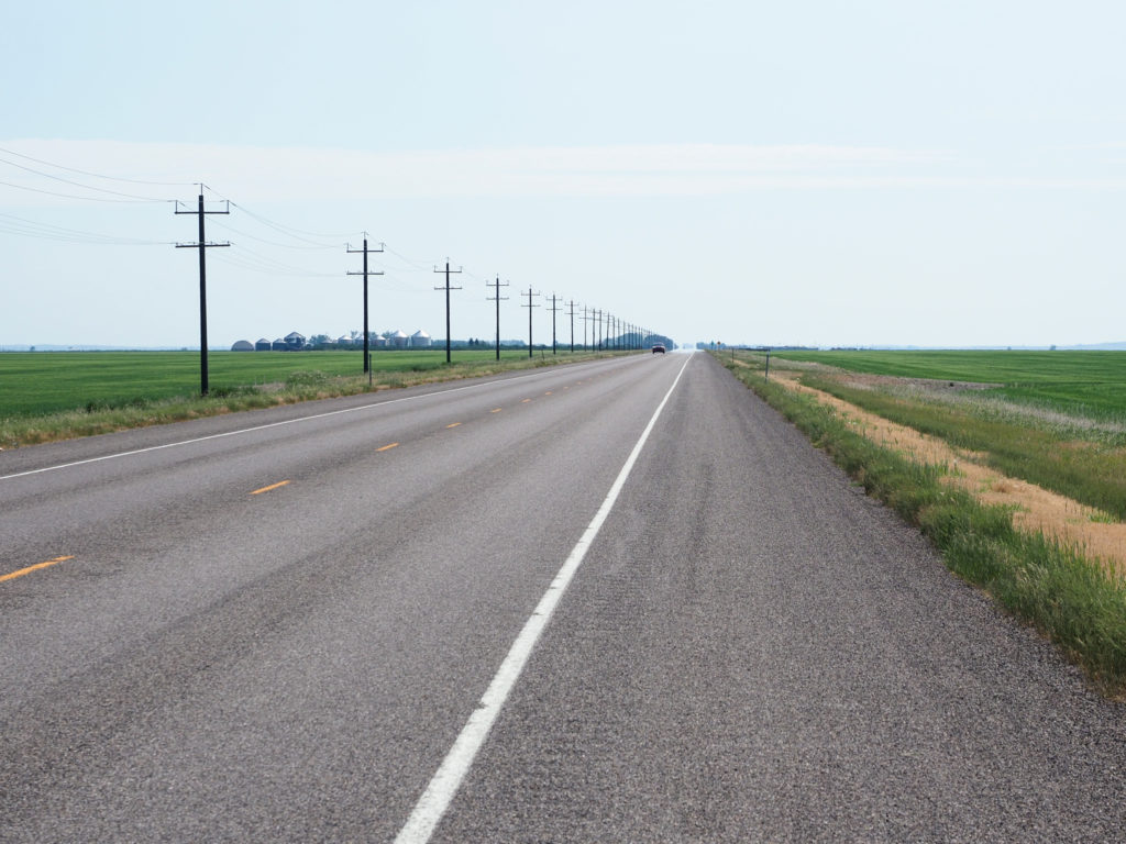
Day 21: July 6, Stanford, MT -> Lewistown, MT

Start: 8:00 AM

Finish: 1:15 PM

Saddle Time: 4:02

Ascent: 726 feet

Descent:  1,018 feet

Miles: 48 miles

Total Miles: 1,100

Highlight: First hour of the day was cool with good road conditions.

Lowlight: Again, headwind for about 30 miles. Plodded along at 10mph.

Cyclemeter:  Follow this link to see the data I’m collecting with the cyclemeter app. You can see gps information, speed, elevation, distance, cadence and heart rate. Better viewed on a computer where it’s easier to play around with the graphs.

Today called for a short fide into Lewistown, only 48 miles which I should easily cover in 4 hours with stops for photos and such so I took my time getting moving in the morning. For breakfast I had the two of the frozen tamales I bought yesterday along with yogurt and fruit.  I packed the remaining two more tamales in my clothes for lunch or maybe breakfast tomorrow, if they stay cold.
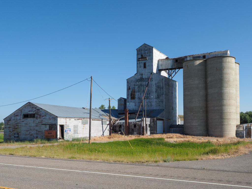
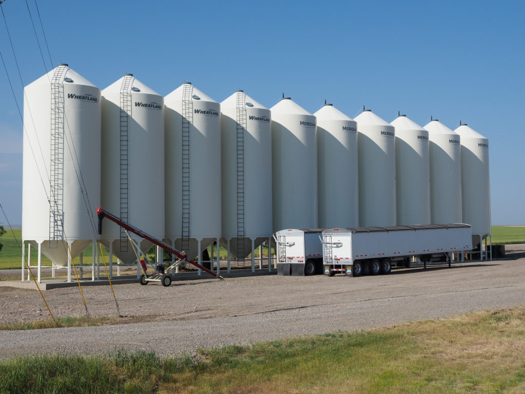
One of many old grain elevators along the road.

While eating at the saloon last night I overheard a guy talking with the bartender, saying how he was called to a bad accident outside of town involving “a bus full of hippies, a bunch of young kids”.  He was complaining how passing cars were honking at him and flipping him off as he tried to help.  I thought just like home but people around here seem so nice, so we really are not all that different.  While leaving town in the morning I could see the scene of the accident, skid marks everywhere and signs of the pavement being torn up, maybe the bus rolled over.

At a house along the road. Notice the lettering “1910 Zimmer Ranch”.

The first hour or so of the ride was pleasant, cool temperatures and good road conditions.  I’m on the same road as yesterday so I don’t know why I find the ride more enjoyable, maybe I started with a realistic expectation of what to expect regarding traffic.  

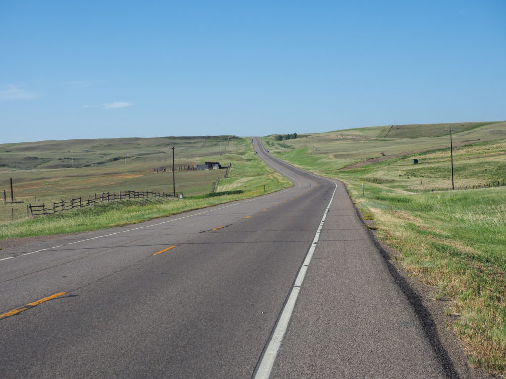
I had a good ride for about an hour, then the relentless headwind started.  Headwinds are super demoralizing.  In this case I was on a -1.5% grade where I should have been casually pedaling and doing about 15mph but now I was peddling steady to maintain 12mph.  The winds were coming out of the southeast and I was heading east so it could be worse like if I was heading south.  Then the road turned south, full on headwind so my speed dropped to 10mph.  I pulled into the little town of Hobson for some rest from the wind and maybe a quick second breakfast.  The road crossed over railroad tracks with a couple very old grain elevators in ruins.  Like all the towns along the way it was a place to gather grain and ship it of via the railroad.  The local market was open so I grabbed a gatorade and muffin.  While eating my muffin I walked around Central Ave which has the usual businesses of a small town like the market, post office and library.  A wide grassy divider separates the two lanes of non existent traffic.
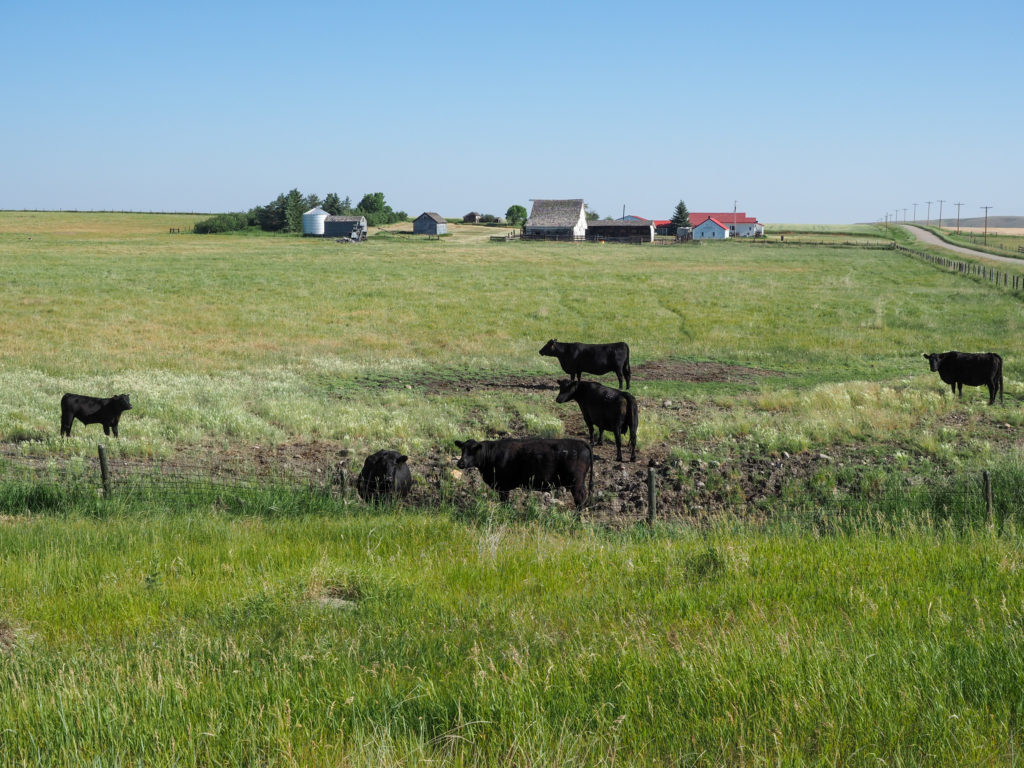
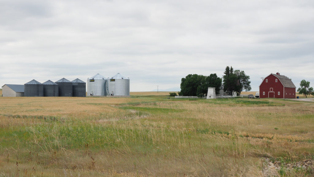
Seeing more and more cattle. The house in the back is pretty typical along the road. House, buildings, silos.

I made my way back out to the highway to find my nice shoulder was cut in half and previous chip seal had only covered half the shoulder leaving an edge I can’t ride on so I was forced to either ride in the lane and risk getting hit or on the one foot of rideable shoulder and risk falling off the edge.  I bounced around between the two depending on traffic in my mirror.  Really couldn’t imagine doing this ride without a mirror. If there’s one piece of equipment I highly recommend on a bike it’s a mirror.  I will never ride on a road without one again. 
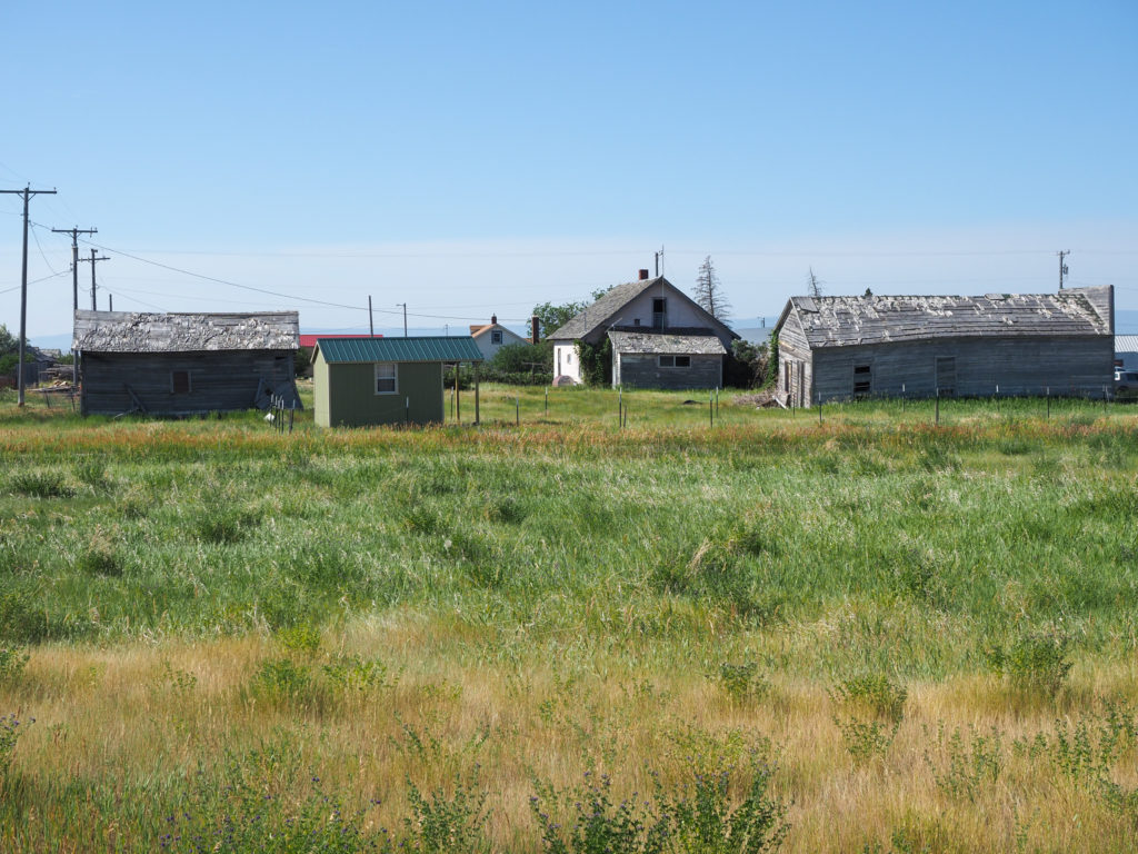
The town of Mocsasin has seen its better days.

I entered a construction zone with stop lights and single lane, alternating traffic with a pilot car.  They seem to be replacing and widening the existing road.  The alternating traffic not only slows the cars down traffic comes in quick spurts of cars, then nothing for a long time making for a much more enjoyable ride.
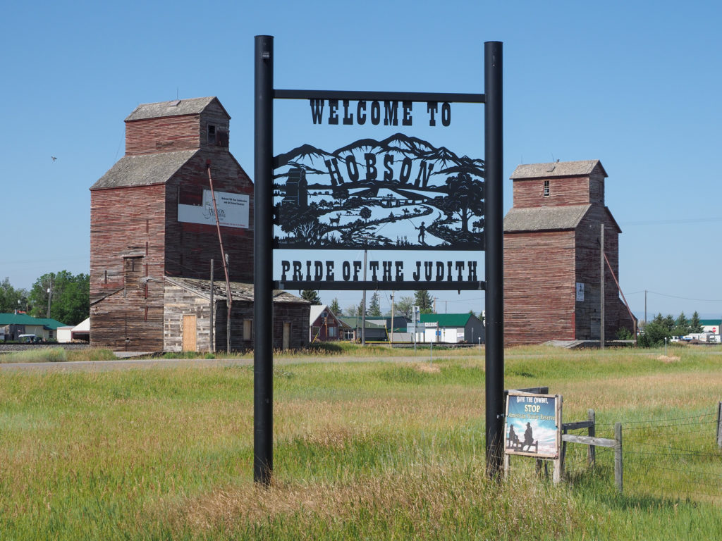
Old grain elevators along the railroad in Hobson, MT. Stopped here to get out of the wind.

 In the middle of the construction zone was a market I’d seen on my map, Big Sky Market.  I just had a muffin but this place sounded interesting so I went in to check it out.  It was fantastic!  Everything you would expect in a supermarket plus a lot of dried and canned food and other local goods.  Apparently it’s run by a local Amish family which you can tell by their dress.  I’ve seen a lot of that out here and my assumption is Amish because it’s what I know so I had to look it up, don’t want to dump everyone in my Amish bucket. Apparently there is a substantial Amish community in parts of Montana, along with Hutterites, a similar ethnoreligious branch of anabaptist like the Amish and Mennonites.
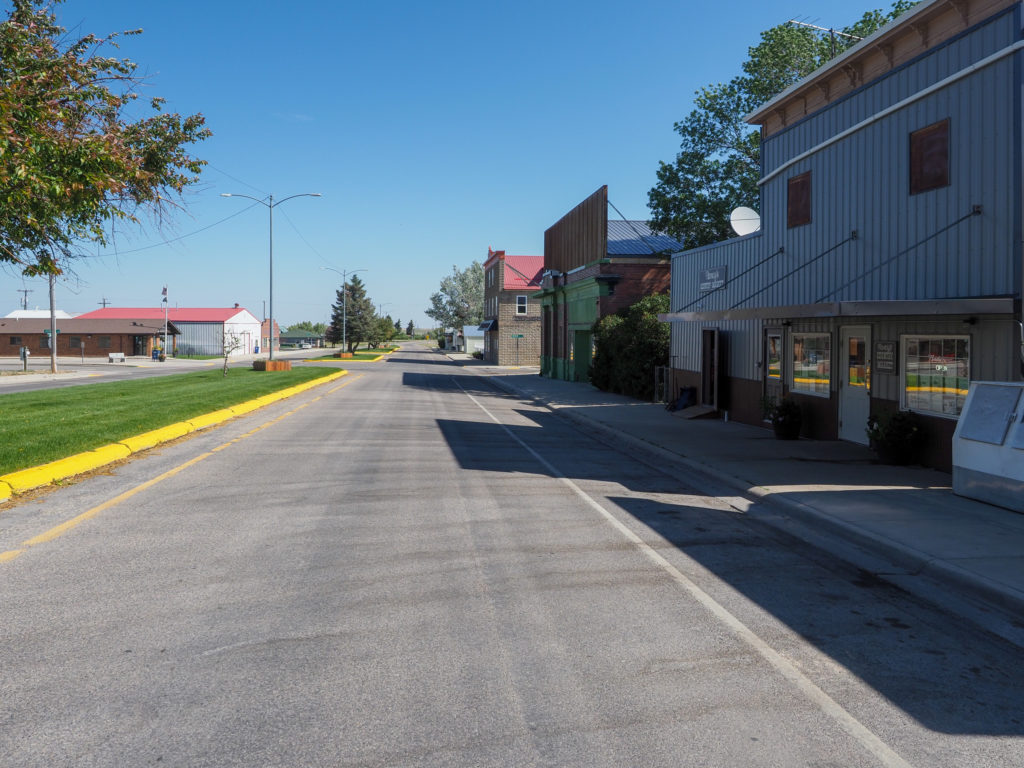
“Downtown” Hobson, MT

Past the construction zone I made my way to new road with a really wide shoulder and super smooth surface.  The wind also let up for a time as I made my way into Lewistown.  I planned on staying at a local “B&B Motel” but it was full.  They were chip sealing the roads around the area so road crews had moved in to a lot of the motel space which had me worried about tonight and the coming days.  I found room down the road at a cheap ass motel, well it wasn’t exactly cheap at $75 but it was ass.  Actually not that bad it is a dump but hopefully the bed doesn’t have bedbugs.  It’s fine for tonight and the brewery is just down the road.  I headed there and the laundromat in the late afternoon, then returned to the brewery for dinner.
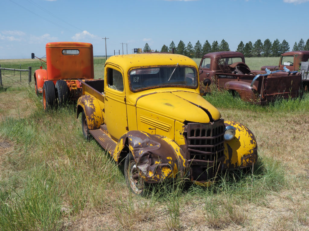
Cool junkyard along Highway 87

Decision now about what next.  The town of Jordan sits 76 miles from Winnett to the west and 67 miles from Circle to the east with almost nothing else on either side.  Winnett is only 55 miles from me so that’s the next logical stop but there is an interesting B&B 30 miles past Winnett, only $40/night plus $15 for steak dinner.  Sounds like a good way to meet locals and maybe other cyclist but will make for a long day tomorrow.  The weather forecast is for more headwind tomorrow so it’s probably best I save the longer day for the following day and stay in Winnett tomorrow.  I was able to book a place in Winnett and Jordan so the next two days are set.  Tomorrow is getting up to 98 degrees so I want to be done early anyway.
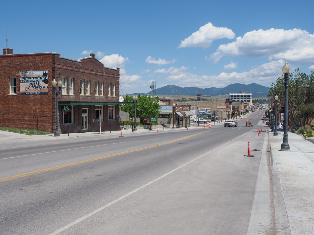
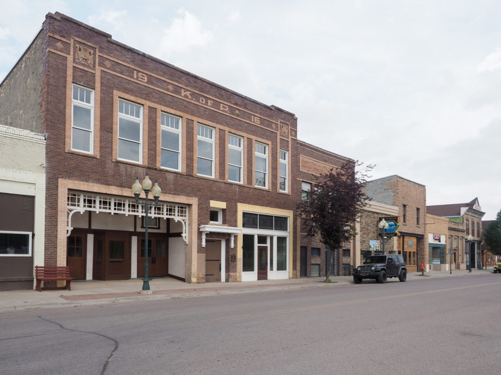
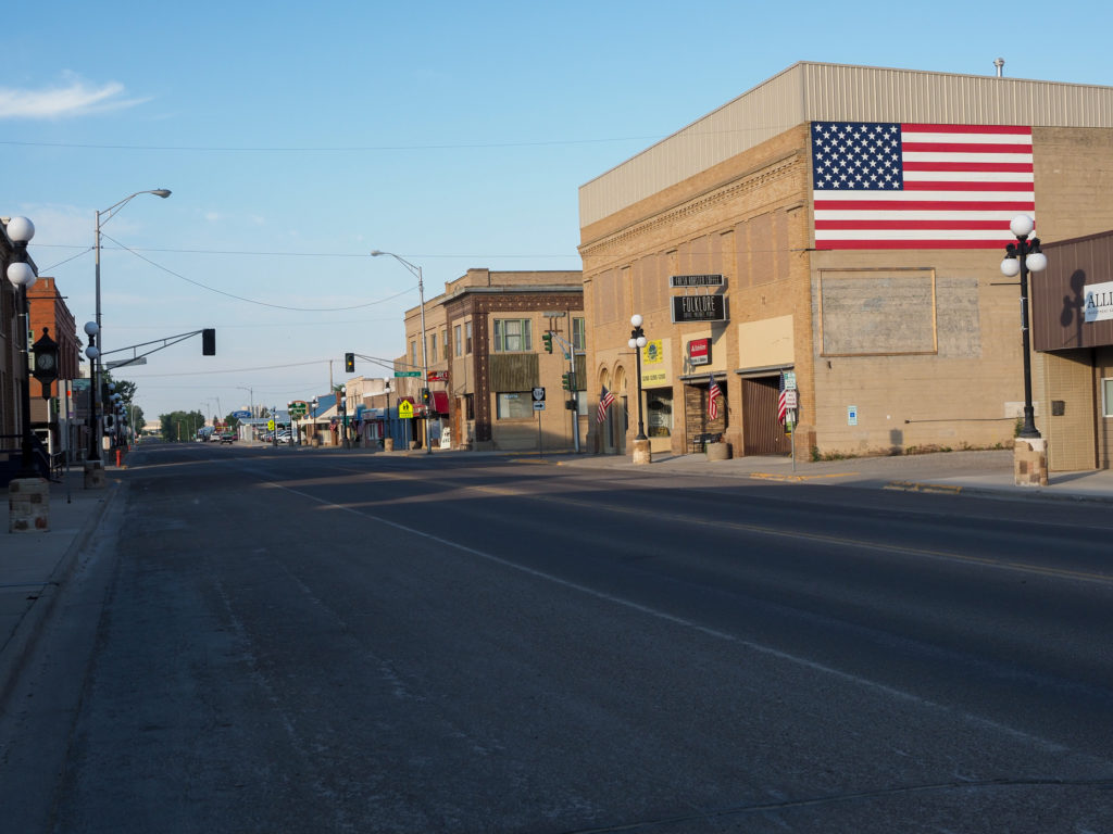
The main drag through Lewistown, MT
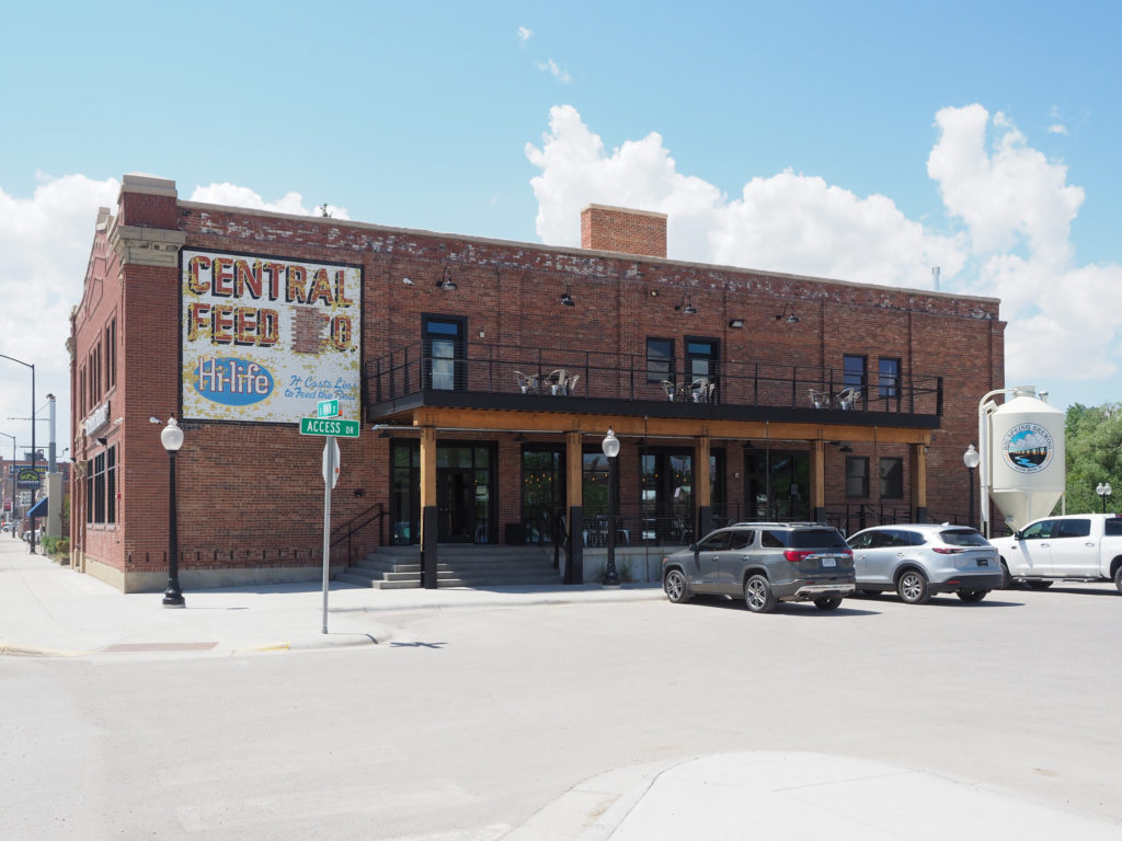
Central Feed and Grilling. I guess the name comes from the previous occupant. Also houses Spring Brewing

Day 20: July 5, Great Falls, MT -> Stanford, MT

Start: 7:45 AM

Finish: 3:07 PM

Saddle Time: 5:30

Ascent: 2,165 feet

Descent:  1,188 feet

Miles: 65 miles

Total Miles: 1,052

Highlight: Riding out of Great Falls along the Missouri River on a rail trail.

Lowlight: The last 15 miles from Geyser to Stanford.  The forecasted tailwind was a headwind. Plodded along at 10mph.

Cyclemeter:  Follow this link to see the data I’m collecting with the cyclemeter app. You can see gps information, speed, elevation, distance, cadence and heart rate. Better viewed on a computer where it’s easier to play around with the graphs.

Today was more of a put in the miles type of day, neither good nor bad. The ride was not flat as you see above .  With over 2,000 feet of climbing I gained about 1,000 feet in elevation. None of the climbs were all that long or steep, most were just gradual 2%-4% grade, adds up over time both in elevation and wear on your legs.

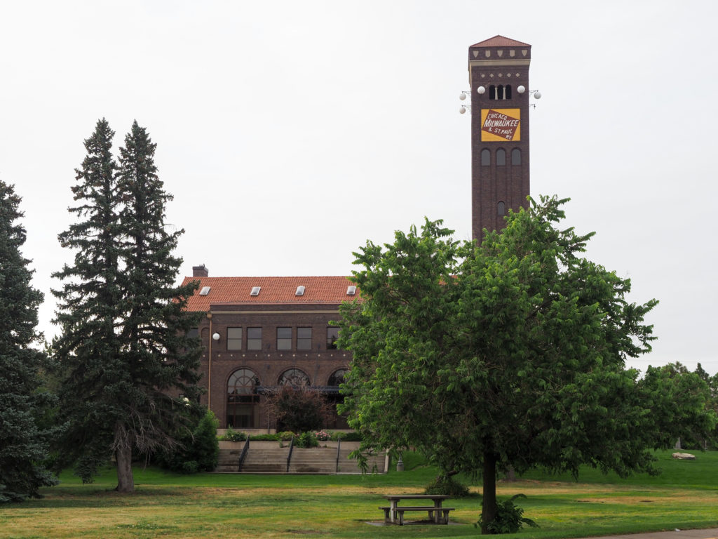
Th old railroad station for the Milwaukee Road line in Great Falls, opened in 1908

The weather today was great, overcast skies and temperatures that never rose about the mid 70’s.  I don’t think I’ve seen this kind of weather since day 1.  This is what I expected on the Northern Tier, not high 90’s.

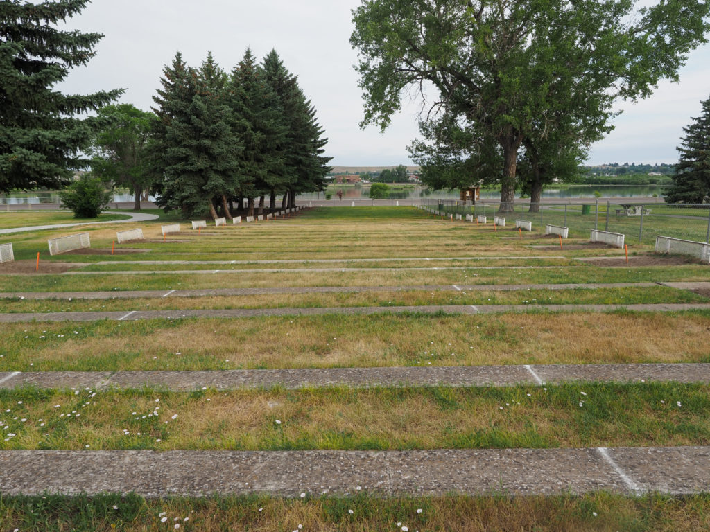
They take their horsehoes seriously here in Great Falls, MT

I was in no rush getting going this morning, knowing the weather will cooperate I didn’t feel the need to finish up early.  I prefer ending my day around 3:00 if possible, not too early where I have a lot of time to kill but early enough where I can explore the local area a bit and have some down time.

Rail Trail heading along the Missouri River

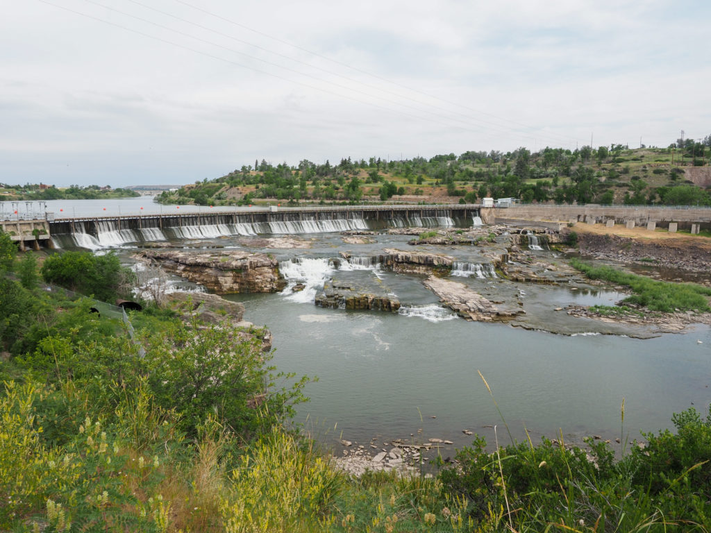
The ride started by following a rail trail along the northern end of Great Falls, passing Black Eagle Damn built back in the 1920’s.  Just below the damn is one in a series of waterfalls giving the city it’s name.  Of course Lewis and Clark ventured through here, being the first white people to see the area.  An interpretive center resides in the area with more information about their journey.  You do see Lewis and Clark this and that all over these parts.

Part of the falls and Black Eagle Damn in Gret Falls, MT

The first five miles took me a good hour with all my stopping to look and take pictures.  Eventually I was dumped out onto Highway 87.  I was glad to see the highway was wide and initially concrete so great to ride on. Once a ways out of town the concrete disappeared and I was back to chip seal.  Traffic was regular but the shoulder was wide.

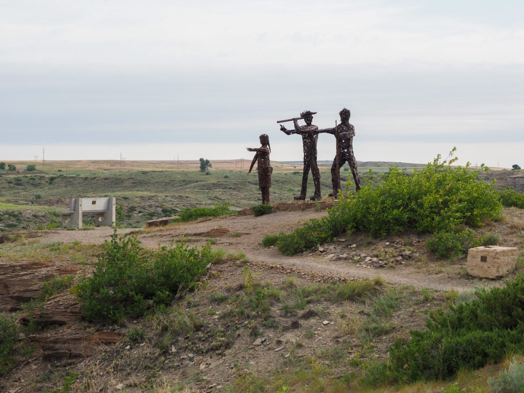
Lewis, Clark and Sacajawea overlooking the falls in Great Falls, MT

The route turned off 87 towards the town of Belt, descending through a narrow gorge made by Belt Creek.  It’s a small town with a population of about 500, originally had the first coal mine in Montana supplying fuel to Fort Benton.  I noticed they have a brewery in town but way to early for that, instead I stopped at the local Cenex station for a second breakfast of gatorade and a gas station burrito.  It’s fuel.

What I saw on my 1,000 mile mark outside Great Falls, MT

I continued on following the creek which provided different scenery than the wheat farms I’ve seen the past few days.  Eventually I made my way back to 87 which I will follow for the rest of the day.  Looking at the map this morning I expect 87 to be lightly traveled because there’s nothing out here but a few small towns.  I expected most of the traffic to be further south on Interstate 94 but the road turned out quite busy with a lot of RV and campers, maybe locals heading home after the holiday weekend. The road was in good shape but it’s hard to enjoy the ride when cars whiz past and 70mph.  Most drivers were good, had a few honks of encouragement and only one honk of “get off the road”.  It was from a local towing a trailer of hay.

Old farm equipment along Highway 87

I made it to Stanford about 3:00 and met up with a west bound cyclist who with his brother in law started in Maine back in early May.  They’ve been doing about 50 miles/day and are 2 months and 3,000 miles into their trip.  We chatted for a while a bit later as I was heading to dinner.  Always good to met up with other cyclists.

Farm along Highway 87

Tonights digs are the Sundown Motel which turned out to be a great little place, highly recommended if you are ever in these parts.  For only $55 I got a very basic room in an old motel but it was clean and had a lot of nice touches like a fridge, microwave, hot water kettle, comfortable bed and a couple power  strips so you don’t have to dig behind furniture to find the one available outlet in the room.  They have a couple picnic tables out front with a fire pit. So much better than the $300 room I had in Glacier, still can’t get over that.

Downtown Belt, MT

I wandered into town looking for the supermarket to get a late lunch and grab food for tomorrow morning.  The market was small but again I was pleasantly surprised, the place was well stocked with everything you need and more.  I grabbed some yogurt, bananas and a package of frozen tamales for lunch and breakfast.  Great little town of maybe 500 people.

On Highway 87 along Big Otter Creek outside Belt, MT

Later I had dinner and the Waterhole Saloon, another nice local place that served me up a fantastic sirloin steak.  Maybe I’m hungry or the steak just tastes better here, certainly the way they lightly season with salt and pepper and grilling properly adds to the flavor.

Starting to see more cattle in this area of Montana compare to further west.
I’ve seen a number of beehives along the way.
Downtown Stanford, MT. The WaterHole Saloon is where I had dinner. Very good steak.

Day 19: July 4, Conrad, MT -> Great Falls, MT

Start: 7:01 AM

Finish: 1:30 PM

Saddle Time: 4:41

Ascent: 685 feet

Descent:  804 feet

Miles: 66 miles

Total Miles: 987

Highlight: Finding a festival going on outside my motel when I arrived.

Lowlight: The last 10 miles into Great Falls had a lot more traffic, and heat.

Cyclemeter:  Follow this link to see the data I’m collecting with the cyclemeter app. You can see GPS information, speed, elevation, distance, cadence and heart rate. Better viewed on a computer where it’s easier to play around with the graphs.

Another great day of riding, cool morning, rolling hills, very little climbing.  I seem to be stringing together good days since I got out of the Glacier area, away from the crowds and a lot of the heat.  It’s still getting hot today with 97 predicted for this evening in Great Falls, still a good excuse to not camp.  I managed to find another $60 room in downtown so maybe I can explore a bit.

Conrad, MT early morning July 4th

I started a little earlier than yesterday knowing I had another 10 miles to ride and I want to avoid the bulk of the heat.  Nights cool down here into the sixties so morning riding is comfortable.  Most of my ride today will be south along Frontage Road following Interstate 15.  The road runs either right next to the highway or in some places veers out about a half mile away.  Either way was fine, traffic on the road was almost none existent.  I had only about a dozen cars pass me in the first 50 miles!  Traffic on the highway was also light, definitely not a steady stream of roaring traffic so the ride was pleasant.

Wheat, everywhere.

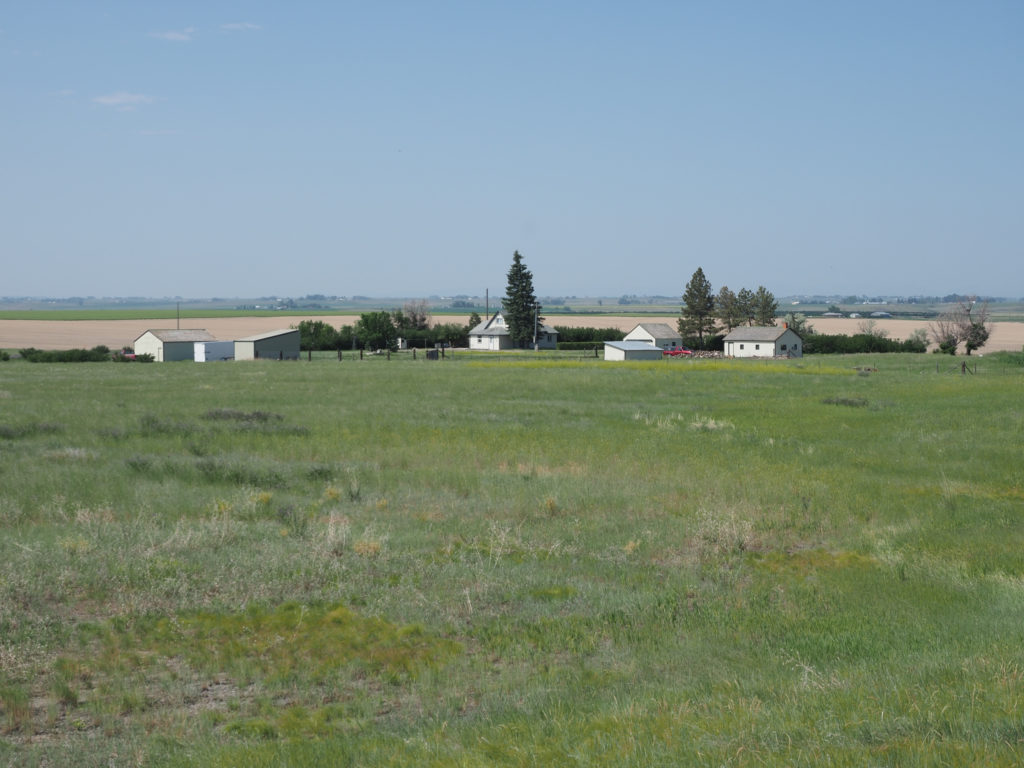
The scenery was largely the same as yesterday but my expectation is for that to continue for about the next thousand miles but for now it’s still new to me so interesting.  Everything is about wheat farming, fields of wheat and the mechanics of farming wheat like grain elevators, silos, and tractors.  Houses are separated by a good mile or so and have the only trees you can see on the horizon.

On the road heading towards Brady, MT., MT.

I realized since the scenery will be the same for a long while I should explore the towns a little more, look at the little things rather than the big landscape scenes.  After about an hour of riding while taking pictures of a deserted small town I saw the first car of the day coming towards me from the highway. I thought they will be disappointed if looking for food or gas, nothing is open around here.  I continue on my way when the car pulls up to me and the driver says “Hey John from Connecticut!”. It was Bill and Liam, the father and son team for last week.  I had wondered how their tour was making out, was hoping I would bump into them again.  Unfortunately not well, Liam developed an injury so they had to abort.  They were driving around before heading back to Seattle.  They can be proud to have complete almost a thousand miles of the toughest part on arguably the hardest cross country bike route.

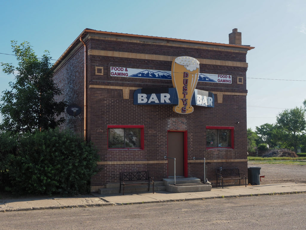
The local bar in Brady, MT

My odometer crossed 1,000 miles today but it’s overstated by about 50 miles.  It’s been wigging out at times, showing me going 60mph which isn’t happening.  I think it doesn’t like the high heat of the afternoon, neither do I.  I’ll cross the 1,000 mile mark tomorrow.

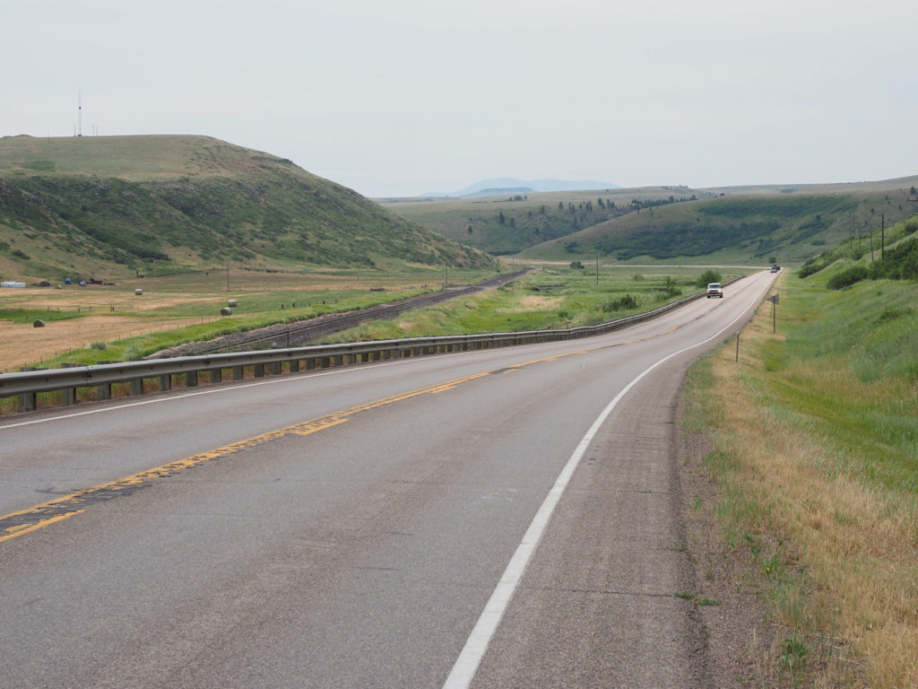
A lot of my riding today between Conrad and Great Falls was along Frontage road like this. Highway on one side, train tracks on the other.

Oddly enough I crossed the 1,000 mile mark right in from of the Cenex station I planned on stopping to top off my water and maybe get something for second breakfast but it was closed.  It’s now 9:30, not early, I don’t understand why a gas station by the highway would be closed, even on a holiday. All the shops and restaurants in town were also closed.  Maybe this is how it should be but not what I’m used to.  I have plenty of Cliff Bars and my water supply was good.  On to the next town.

OLYMPUS DIGITAL CAMERA

Most of the late morning was just making time along the highway. I finally stopped at an Exxon station about 15 miles out of Great Falls for a snack and Gatorade.  The last 15 miles was the worse riding of the day with the temperature rising and much more traffic than I had all morning, not terrible by any means, just the worst part of a good day.

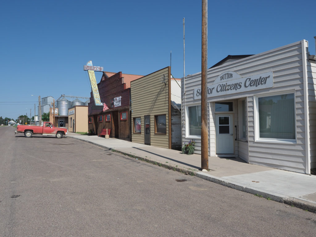
The town of Dutton, MT. was completely quiet on the morning of July 4th

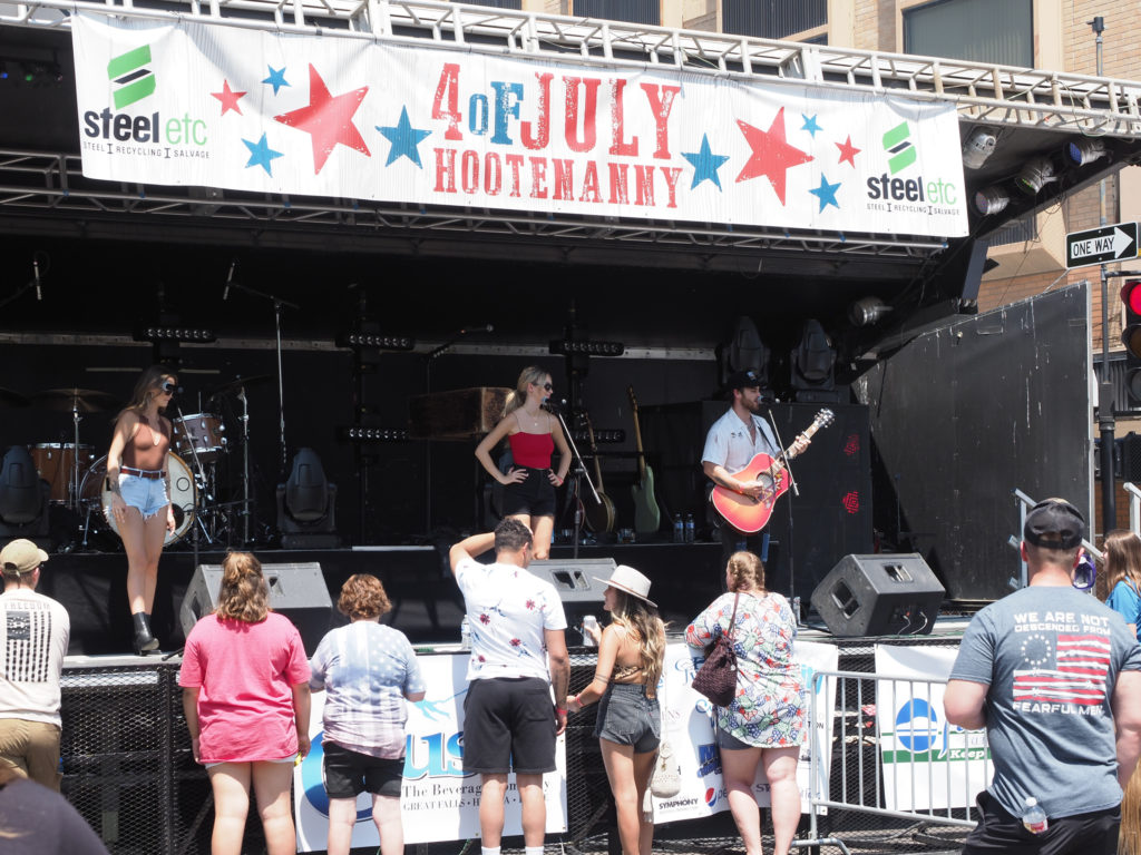
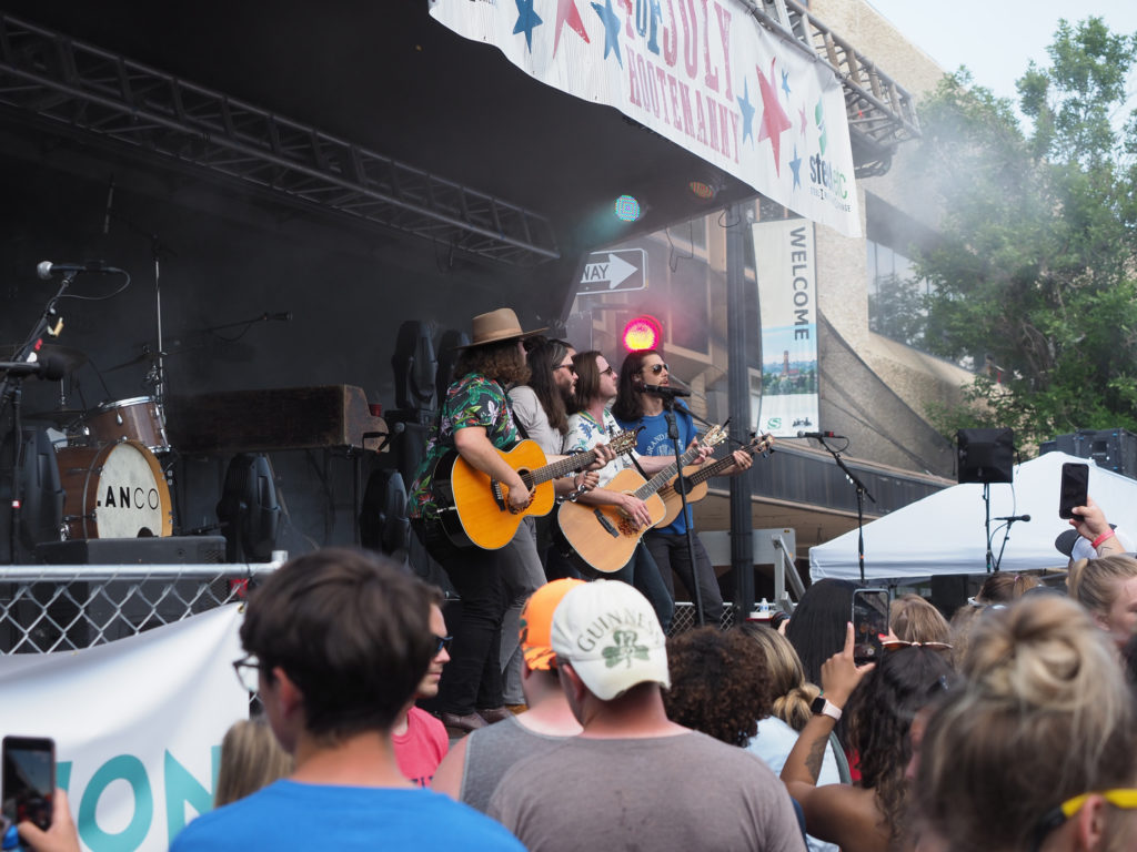
Made it too my motel to find streets blocked off in the area.  They were having some kind of July 4th festival.  They called it a Hootenanny, seriously!  My hotel wouldn’t let me check in early, seems to be thing here in Montana with name brand hotels, so I wandered through the festival.  I bought a tiny $4 slice of pizza and had a couple beers.  Drinking beer while tired, dehydrated and on an almost empty stomach had a strong impact.  A few bands played, headlined by Lanco.  I arrived about 1:30 and walked around for the next 3 hours.  It was a nice thing to stumble upon.  I had been hoping for a rodeo somewhere but haven’t seen any signs.

More interesting colors along frontage road. The train line also runs parrallel to the highway.

Strangely, everything in town was closed.  All the shops and restaurants, everything, well almost everything, the brewery was open at the festival.  You would think local stores would want to capitalize on the downtown crowds and stay open, nope, not around here.  Again, maybe this is how it should be, just different from back home.

The few trees you see typically are by houses

Went out later to the supermarket to get something for dinner tonight and breakfast tomorrow. I think I prefer this way of eating to restaurants.  Maybe I’ll start mixing them up so I don’t get bored of one or the other.

July 4th festival in Great Falls, by my hotel

The next days will be dictated by distances between towns.  I will likely ride about 60 mile days which is better for me anyway.  I think my body prefers it to the over 80 miles days.  If I get a good tailwind I may be able to turn a day or two into century rides but no reason to push myself and perhaps end up injured or simply unhappy.

July 4th festival in Great Falls, by my hotel

Day 18: July 3, Cut Bank, MT -> Conrad, MT

Start: 8:00 AM

Finish: 1:28 PM

Saddle Time: 4:02

Ascent: 1,128 feet

Descent:  1,376 feet

Miles: 53 miles

Total Miles: 921

Highlight: Cool, quiet morning ride with great scenery.

Lowlight: Nothing to complain about, just another earlier than desired finish for the day.

Cyclemeter:  Follow this link to see the data I’m collecting with the cyclemeter app. You can see GPS information, speed, elevation, distance, cadence and heart rate. Better viewed on a computer where it’s easier to play around with the graphs.

Fantastic ride this morning, one of the best of the tour to date.  The temperature was cool, scenery was pleasantly different from the last couple weeks, and the road was lightly traveled.

Heading south from Cut Bank to Valier on 358

I had another short day planned, just 53 miles and the weather has been getting better so I didn’t want to get started very early just to land in town with a lot of time to burn.  I took advantage of the excellent internet at the Super 8 and worked on some blogs and instagram.  

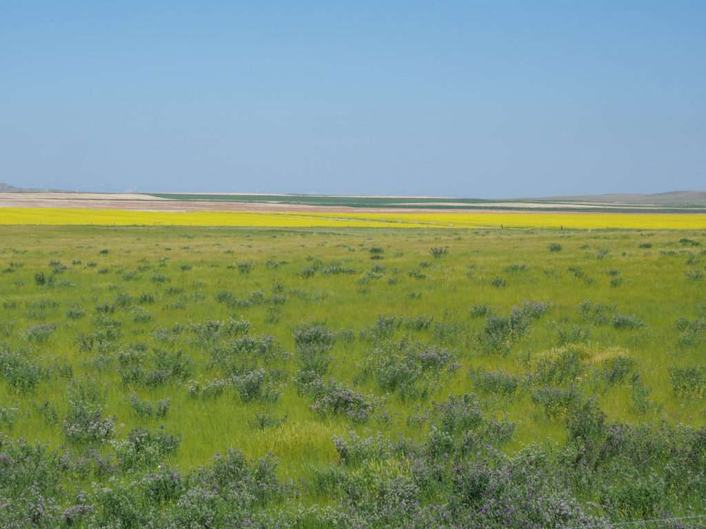
The colors were impressive. Heading south from Cut Bank to Valier on 358

It’s been while since I’ve stayed at a Super 8.  Their breakfast was surprisingly good, no freshly cooked food but they had frozen breakfast sandwiches, burritos and other such things along with the usual toast, waffles, cereal, yogurt deal you get with a hotel continental breakfast. The room was clean and in good condition.  I slept well.

One of the hills requiring climbing. Heading south from Cut Bank to Valier on 358

The first part of todays ride headed due south to Valier, about 30 miles away.  The wind was out of the east today, so much for my “the winds blow east on this side of the divide” thought.  No problem since I’m head mostly south.  I had couple easterly turns towards Valier but not bad. Can’t complain after yesterdays tailwind.  
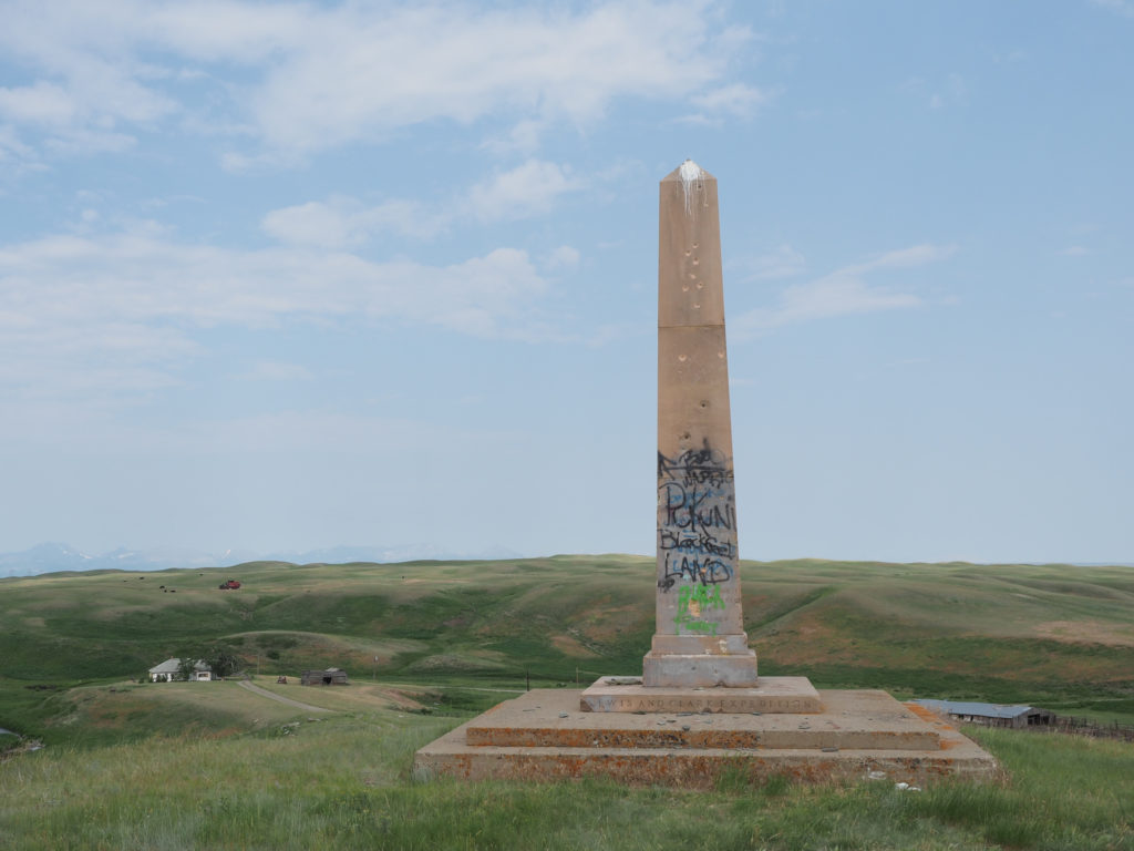
A Blackfeet memorial between Cut Bank and Valier

The road was typical Montana, two lanes, no shoulder but the lack of traffic made it a non issue.  I was making good time on this road.  It wasn’t flat but there were only a few hills where I had to get into head down climbing mode.  Mostly gently rolling hills.   You can see from my ascent/descent above it was much and pretty much a wash.  

Harvesting hay between Cut Bank and Valier

What little traffic there was seemed to be farmers heading from one place to another, in no hurry so not traveling at 70mph. Very friendly people.  I had a few wave to me and one guy stopped while I was taking pictures and asked if I had broken down.

The colors were impressive. Heading south from Cut Bank to Valier on 358

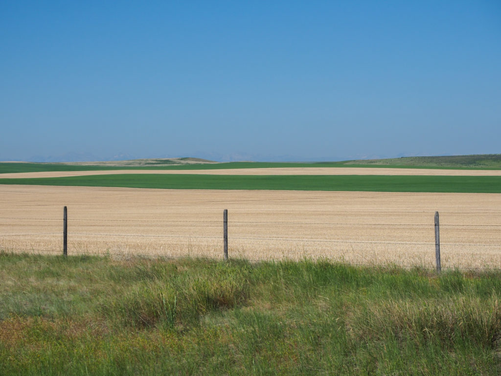
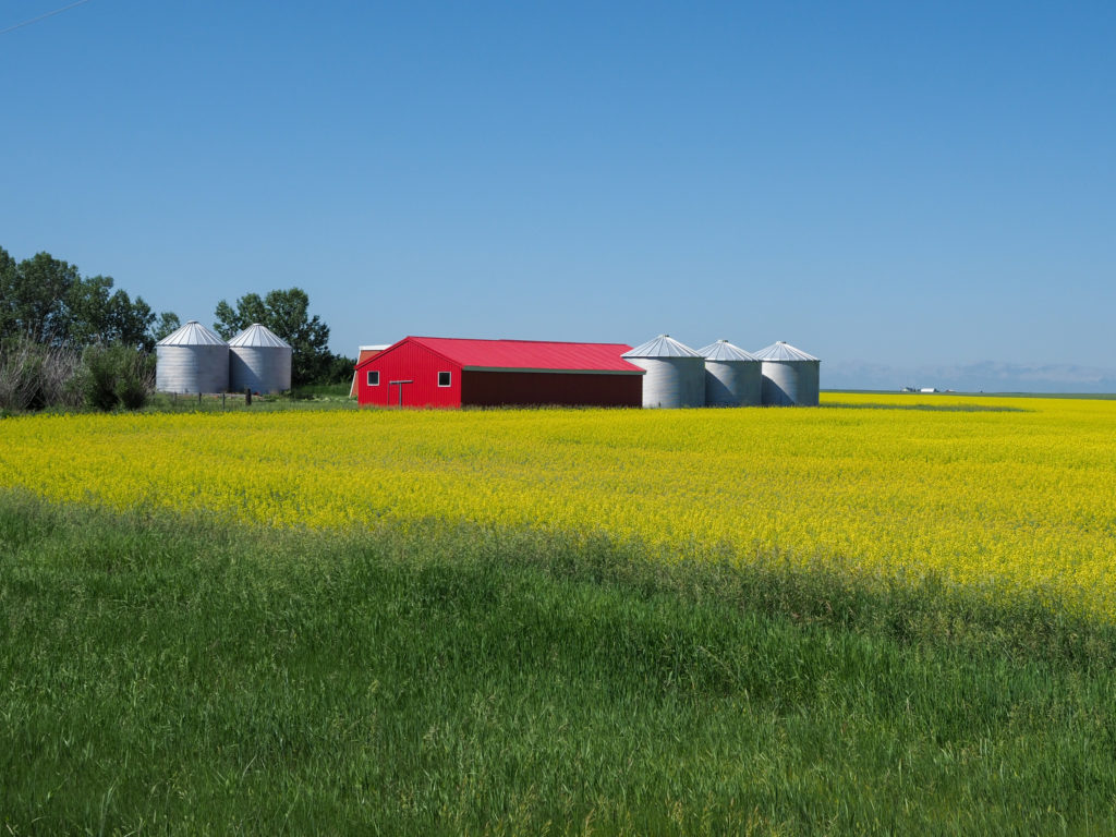
Still very much in wheat country with wheat everywhere and a smattering of silos here and there.  Sounds very boring but it’s not.  The colors where what it’s all about.  The deep greens of the growing wheat contrasting with the straw colored fallowed fields along with fields of yellow from some kind of crop.  I stopped a lot to take pictures but found it hard to capture what I was seeing in just the camera frame.

I like this farm building with a red roof in a field of yellow. Heading south from Cut Bank to Valier on 358

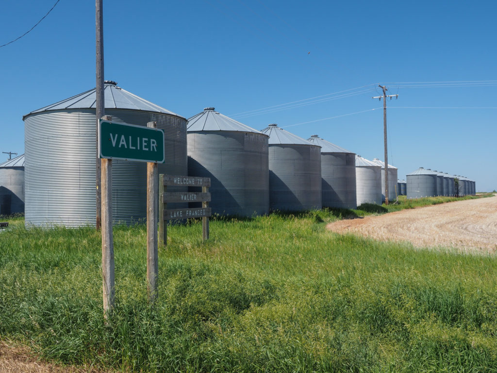
I made it to Valier about 11:00 which included a lot of stopping for photos.  The array of silos outside of town attests to this areas focus on farming.  The town is small, about 500 people and I’ll bet all working in farming or related jobs.  Stopped at the Cenex station for a Gatorade and taquitos, had a big breakfast but needed a little something.  These Cenex stations have a lot of food options unfortunately all of the fast food variety from things such as my Tao Bell like taquito to wrapped burgers to various frozen sandwiches and foods.  For better or worse Cenex will likely be lunch or mid day snack in the coming weeks. At least I can cool off and refill my water.

Entering Valier, clearly they farm a lot.

While in Valier I called ahead to the Super 8 in Conrad but they were full so a call to the Northgate Motel, the only other motel in town, landed me a room for $60/night.

Headed due east to meet up with interstate 15 south which I will parallel all the way to Conrad tonight and Great Falls tomorrow. Made it to Conrad about 1:30.  The weather still wasn’t all that bad at about 84 degrees, I would like to have put in another 10-20 miles but there were no options for places to stay. 
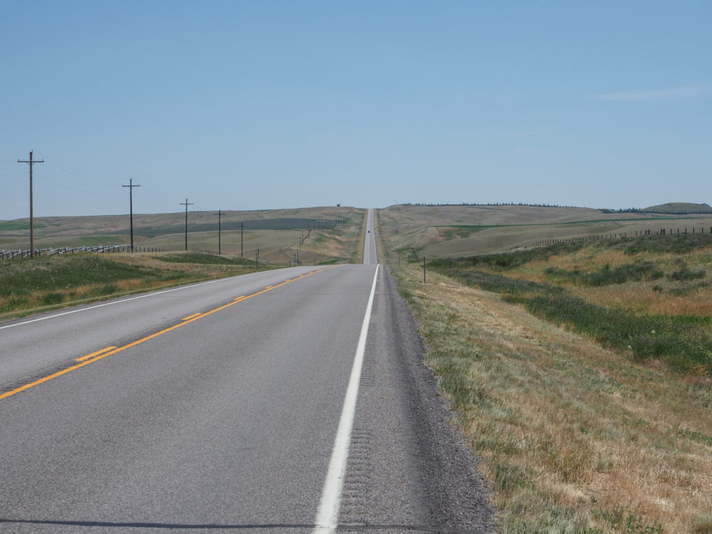
This was a good mile long hill with 5% grade. It was a climb but not bad.

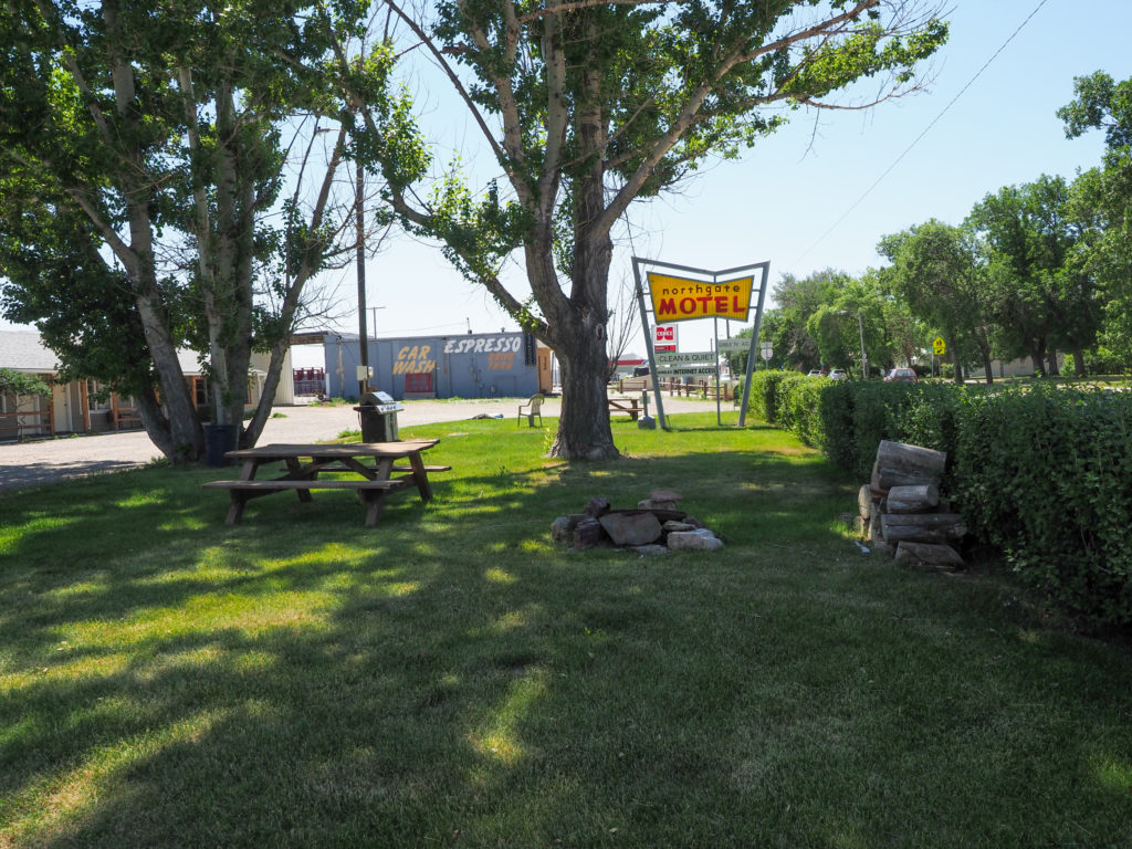
The motel is clearly old but my room was perfectly fine, clean and comfortable.  Way better than sleeping in a tent in this heat.  The temperature rose to about 90 around 6:00.  The town has a population of about 2,500 with a small downtown, a few restaurants and a supermarket.  I strapped one empty bag to my bike and headed to the supermarket.  I planned on doing the same as last night, but this time for lunch, dinner, and breakfast tomorrow.  Good thing because a couple restaurants I passed were closed for the weekend.  A couple pieces of fried chicken and fries for lunch, Mongolian Beef for dinner, along with a bag of salad, large cup of mixed fruit, bananas, single slice of coconut cream pie, a ham sandwich for breakfast tomorrow and of course beer (not for breakfast).  I was set, 3 good meals for $30.

Nice picnic and firepit area out front. My accommodations for the night

Tomorrow is a better distance day, about 65 miles to Great Falls.  Booked a Travelodge there for $60, again a no brainer for me.  It gets difficult after Great Falls.  I’ll be looking at doing either distances that are too short or going to the next town which is too long.  I think I will play it by ear, see how the winds are blowing and my body feels, wait until noon or so to decide how far I want to go.  If I can’t get accommodations, worse case I can camp at the town park.

Day 17: July 2, East Glacier, MT -> Cut Bank, MT

Start: 7:40 AM

Finish: 11:50 AM

Saddle Time: 3:03

Ascent: 474 feet

Descent:  1,441 feet

Miles: 49 miles

Total Miles: 869

Highlight: A tailwind!

Lowlight: Like yesterday, finishing up earlier than I would like.

Cyclemeter:  Follow this link to see the data I’m collecting with the cyclemeter app. You can see GPS information, speed, elevation, distance, cadence and heart rate. Better viewed on a computer where it’s easier to play around with the graphs.

I woke up to a howling wind outside, certainly hoped it was blowing in a favorable direction.  Had a really nice night in this cabin, quiet and comfortable, I feel rested.  For breakfast I had a sandwich I bought last night along with coffee made in my room.  I was in no rush to get moving since I knew the ride was all downhill.

Road out of East Glacier, MT. Looking back on where I came from.

I eventually made it out by 8:00 and found I had a tailwind! For the first time!  Maybe there’s something to what I heard about the predominant winds blowing easterly east of the continental divide, let’s hope this holds up.  With very little peddling I was cruising along at 15-20mph, so much better than climbing up a mountain.  The sky was very overcast, also for the first time on this trip. So far I’ve seen no rain while riding or at night but there are few sprinkles in the air.  I debated making my rain jacket more accessible but decided against it, the weather is calling for sunny skies.

Clouds, sun and water outside East Glacier, MT

I’m still on highway 2 which I despised near Glacier but here although still two lanes the shoulder was very wide and in good condition.  Traffic was regular but not all a problem. My only issue was debris on the shoulder, bits of sand and gravel from the chip seal, not heavy but I was constantly concerned my tires would loose traction.  Made it to the small town of Browning in about an hour and stopped in a gas stations for a breakfast sandwich.  I had two people honk and wave at me as I entered town.  Maybe cyclists live here.

Lewis and Clark Memorial outside Browning, MT. Vandalized but who thought a Lewis and Clark Memorial in Blackfeet territory was a good idea?

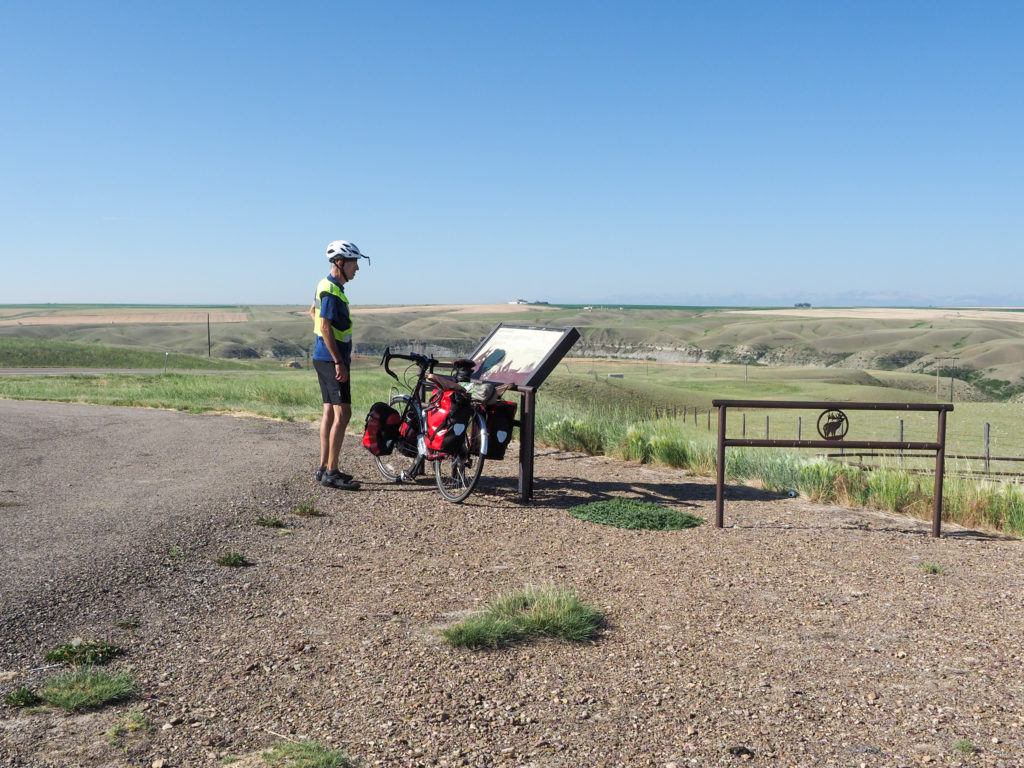
Out of Browning I stopped at a Lewis and Clark Memorial.  Apparently it was the furthest point north they ventured.  A sign on the road explained the historical significants with a memorial a few hundreds yards down a dirt road.  I noticed a cyclist at the memorial so I rode up to see if it was someone I had met.  The memorial clearly had been vandalized, maybe putting a Lewis and Clark memorial in Blackfeet country is a bad idea. The cyclist was a west bounder from Minneapolis who also recently retired but is a good 15 years older than me.  We talked for a long time about our trips.  Throughout  Montana he stayed at town parks.  Most towns have parks with pools which include showers.  They don’t officially allow camping but he hasn’t had any problems. I’d rather just stay in a motel but I’ll keep that in mind, maybe I will need to some day.

View from the Lewis and Clark Memorial outside Browing, MT.

Glad I went up to the monument because it sat on top of a hill and gave me a good view of the surrounding are.  I’m clearly out of the mountains and descending into the plains.  Very few trees in sight, everything is grass.  A little while further I started seeing silos surrounded by wheat farms. Very much in wheat country.  For a long while the road was straight as an arrow.  This will likely be my scenery for the next 2-3 weeks.  Maybe I’ll eventually miss the mountains.

View from the Lewis and Clark Memorial outside Browing, MT.

Made it in to Cut Bank a little before noon.  There’s a Super 8 and an RV park in town.  I tried booking the Super 8 online but there was no vacancy.  I called their number but it went to a central Super 8 booking agency who said they were only booking two night stays over the weekend.  My plan was to show up at the desk, maybe there was a cancellation, someone checked out early, or perhaps they have rooms not listed online or over the phone.

View from the Lewis and Clark Memorial outside Browing, MT.

Sure enough they had space.  In fact I heard the manager talking behind the desk saying they were no where near full for the night. I mentioned how I couldn’t book online or over the phone. He said it was the Super 8 mothership who sets such stupid policies. I had a similar experience last night in West Glacier where all that was listed online were expensive cabins while the couple I met called the day before and got a cheap room.  So that’s a travel lesson for you.  If you see no vacancy or pricey digs online either call the location directly or if you can show up in person.

View from the Lewis and Clark Memorial outside Browing, MT.

I couldn’t checkin until 3:00 so I went over to a local diner for lunch, used their very good wifi to make a couple instagram posts.  Finally checked in to my room, took a shower, did laundry, and went next door to the supermarket to buy some food for dinner.  I’m sick of eating is restaurants so I’ll see what I can round up at the market: 0.5 lb shredded chicken, bag of salad, an avocado, and a slice of cheesecake.  Perfect.  Also restocked my emergency supply of sardines and rice and refilled my dwindling oatmeal. And of course a can of wine.  Seriously, it’s not bad.

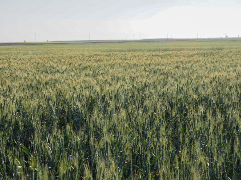
Definitely in wheat country.

Spent the evening working on this and other blog posts and was ready for bed by 9:30.  I think I’m getting too comfortable in motels, not sure when I’ll camp again.  The plan for tomorrow is similar to today, show up in Conrad, look for a motel, and fallback to an RV park if necessary.

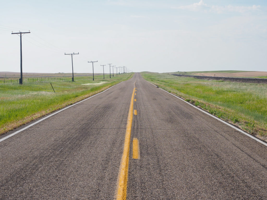
Long, straight roads surrounded by wheat.
Road into Cut Bank, MT. The motel I stayed at is top left with the green roof.