Day 5: June 20, Tonasket, WA -> Republic, WA

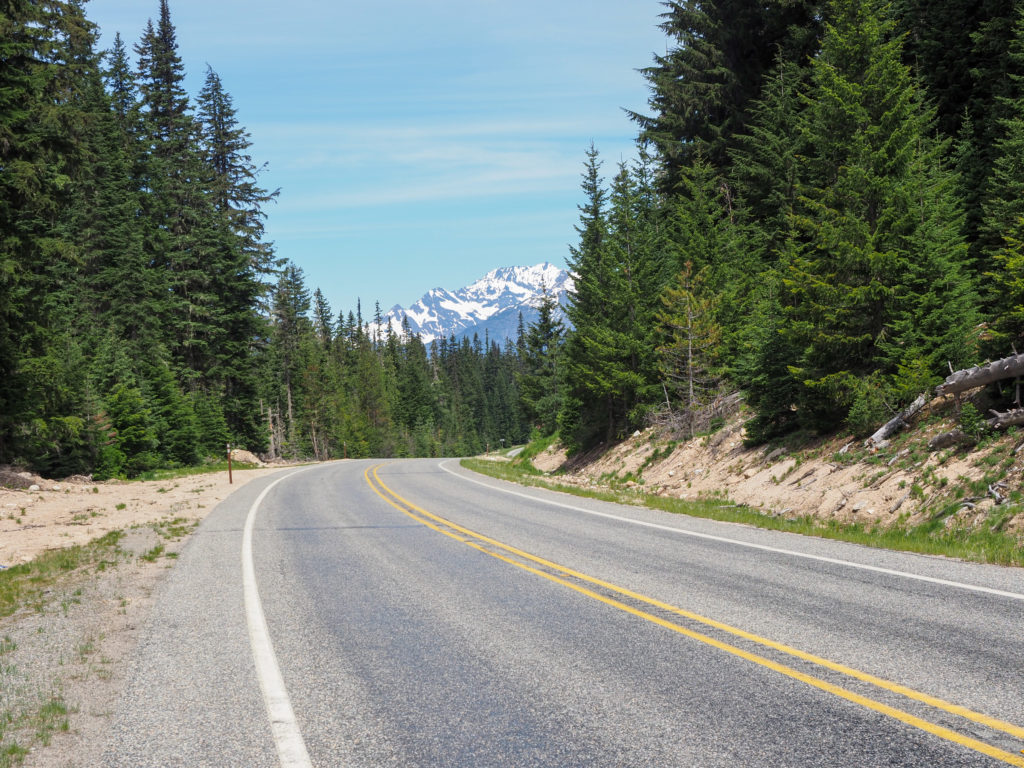
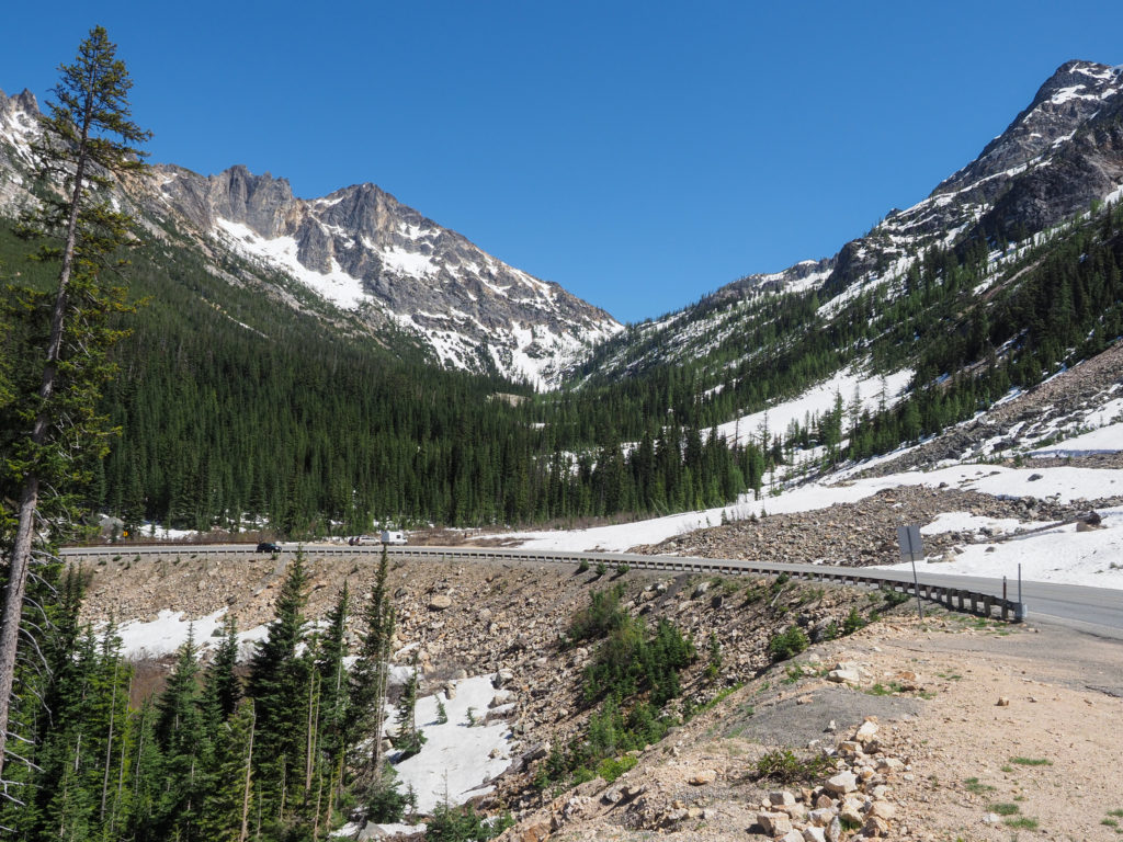
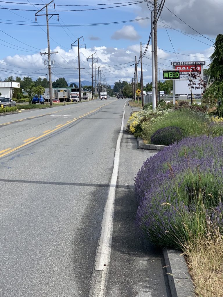
Starting up Wauconda Pass

Day 5:  June 20,  Tonasket, WA -> Republic, WA

Start: 8:00

Finish: 2:45

Saddle time: 4:30

Ascent: 3,456

Descent: 1,824

Miles: 42.3

Total miles: 291.1

Highlight: Hanging out with other cyclists at Republic Brewing Company.

Lowlight: The rest of the day.

Cyclemeter:  Follow this link to see the data I’m collecting with the cyclemeter app. You can see gps information, speed, elevation, distance, cadence and heart rate. Better viewed on a computer where it’s easier to play around with the graphs.

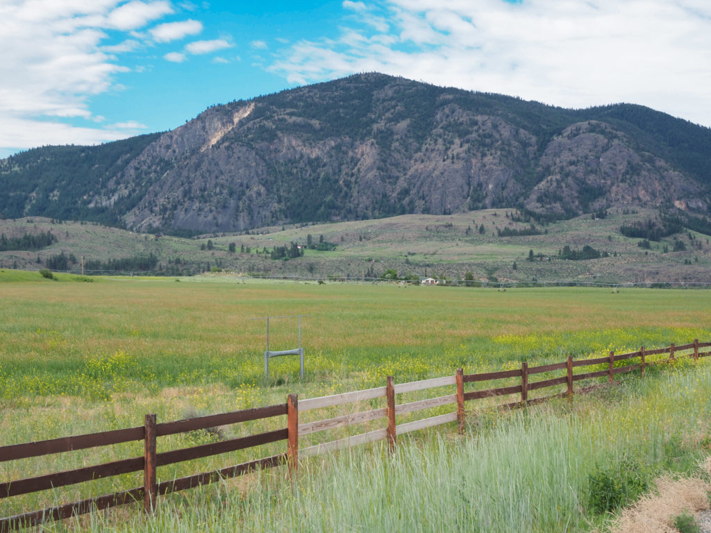
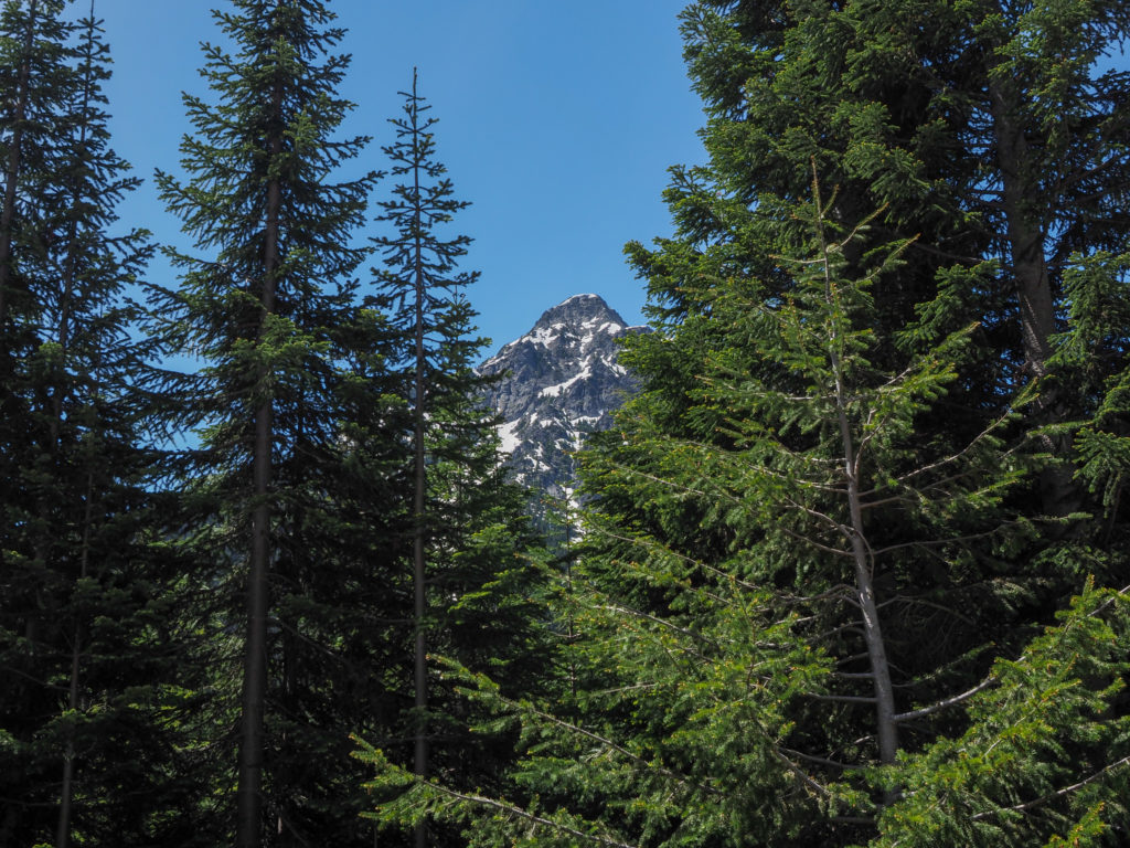
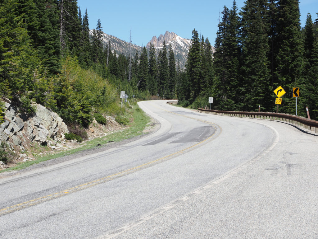
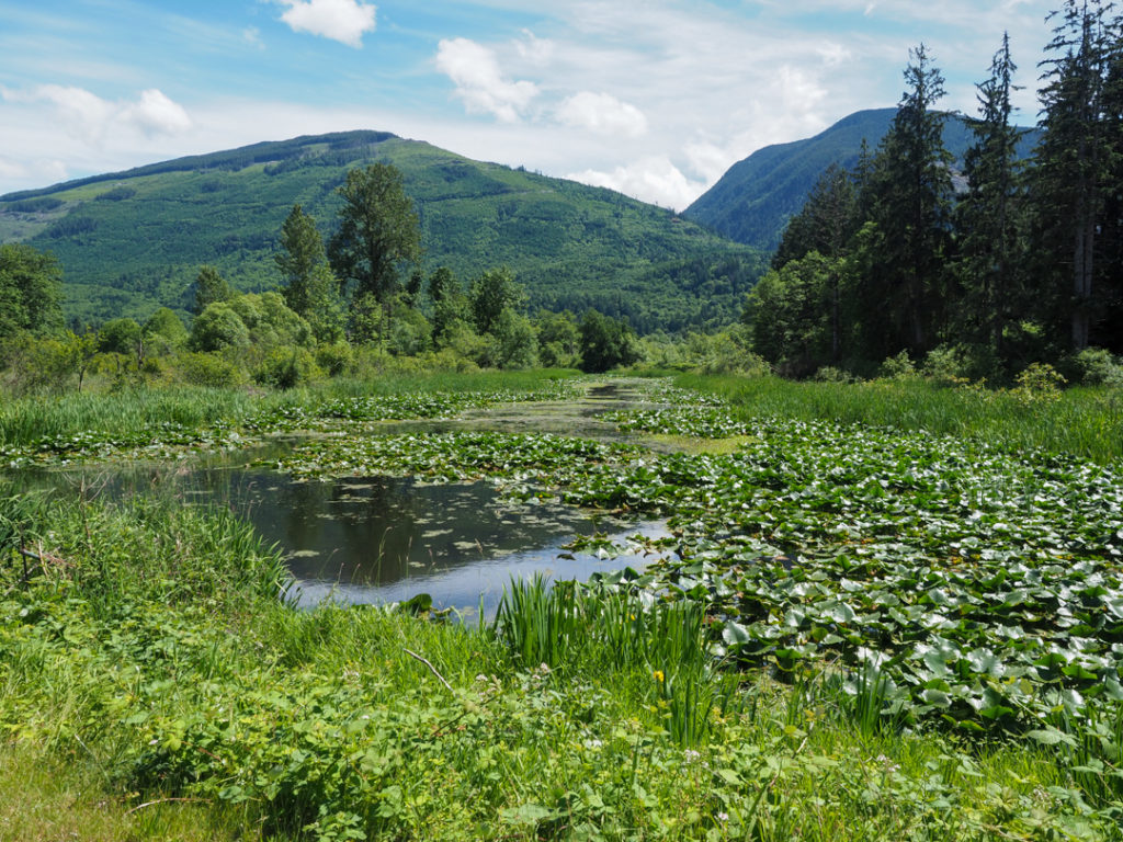
Nice sceneray up wauconda pass

I decided to make today an “short” day.  I stayed in bed until about 6:00, waiting for the coffee shop to open down the road, forgetting it’s Sunday only to find they don’t open until 7:00 so I had some gas station coffee and breakfast sandwich before getting ready to head out. 

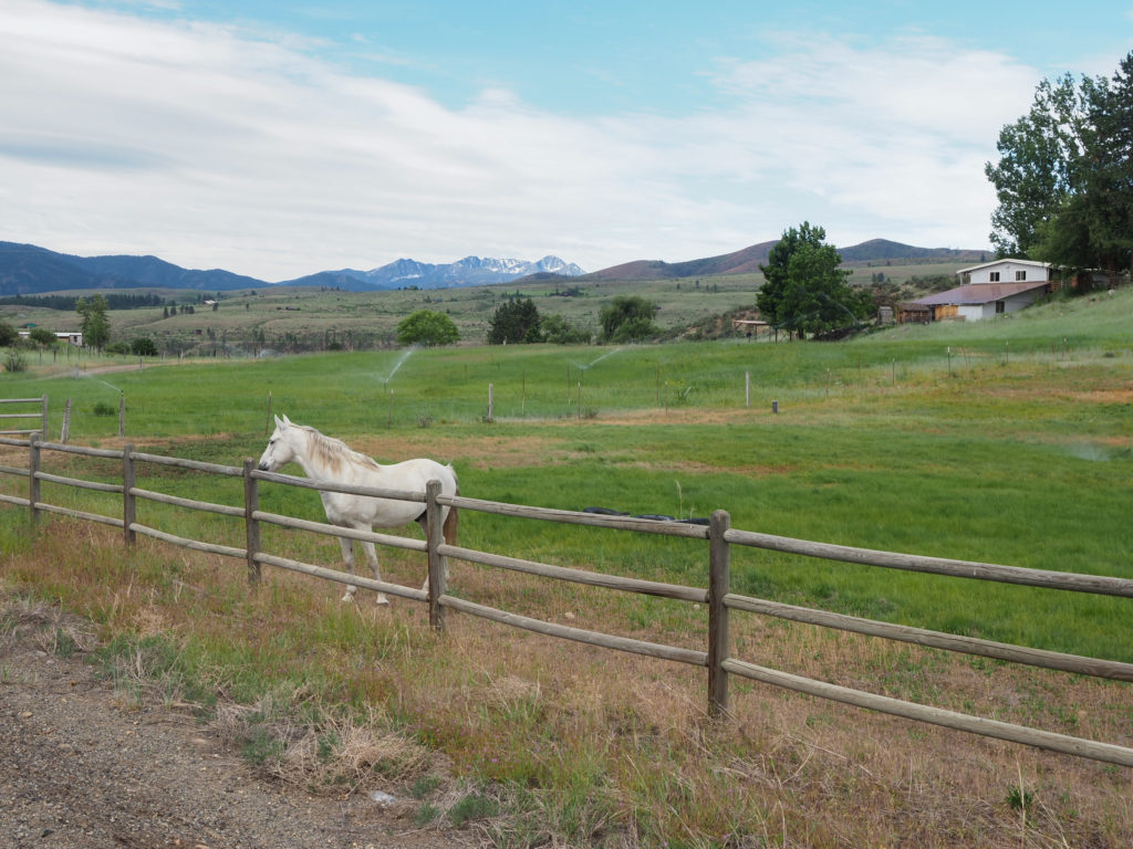
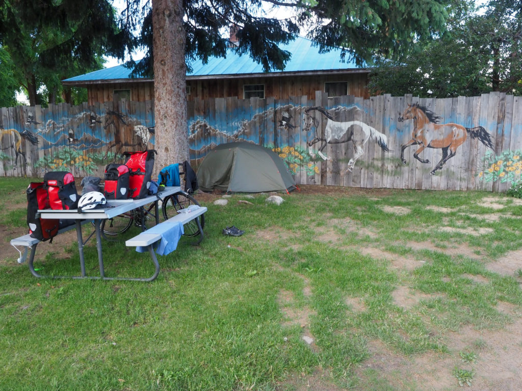
Lush, green with horses

Wauconda Pass is back to back with Sherman Pass which is much steeper.  Some people do both in one day but that clearly wasn’t happening for me so I planned on staying in Republic, just 40 miles away, right in the valley of the two.  I took my time getting going but still thought I would be done by noon or 1:00. 
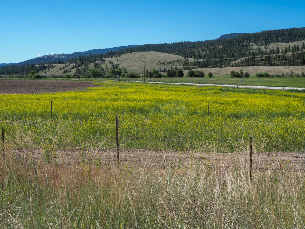
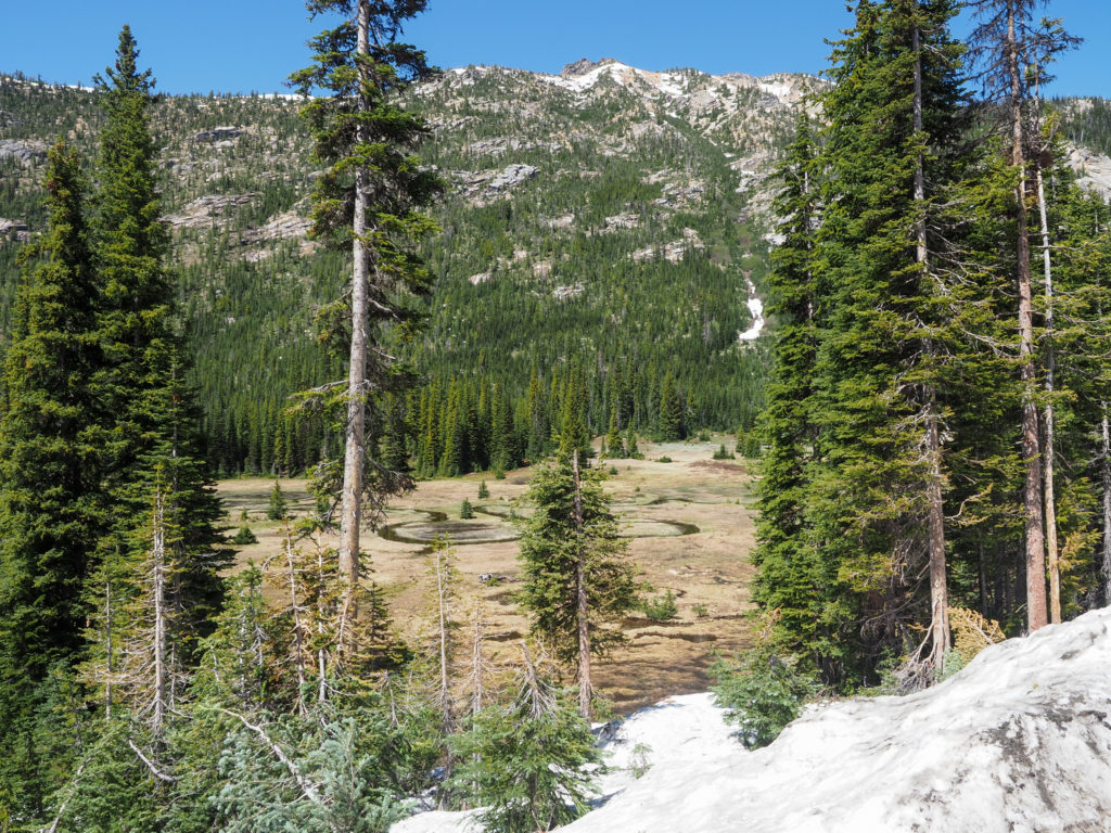
More wildflowers on wauconda pass

I’m riding down the deserted road when I hear someone yell out “Hey Connecticut!”.  I see someone but can’t make them out so I wave, figured it must be my neighbor in the motel. 

The climb starts immediately out of Tonasket with some initial steep grade.  After a bit I see two cyclists in my mirror slowly gaining on me, hoping they were day riders not touring cyclists putting me to shame.  A while later I pulled over, somewhat faking a water break, really letting them pass. It was an older couple (well, older than me) with two bags so packing less.  Not wanting to loose their momentum the guy yells out as he passes “where in Connecticut are you from?” So I said “Danbury”. He said they lived in Branford a while back. I didn’t speak with them last night, must have stayed in the same motel as me and talked to the owner or my neighbor.
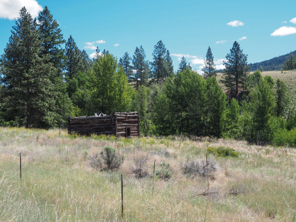
I wonder how old this is? Along the road on wauconda pass

The initial 6% grade decreased a bit with a few spots where it almost leveled out which sounds good except my friend the headwind was returning.  Thankfully not on the climbs but I was getting a good amount on what little “flat” I had. I tried to keep my mind focused on the scenery which is changing again. This is cattle country, open range in some areas.  The owner of the hotel I stayed in was telling me to be careful on the open range, there can be cattle in the road.  Not like I’m going to hit them all that fast. He used to be a marathon runner decades ago and carried a stick when running in the area, for the mountain lions.  He told me how a mountain lion killed a cyclist recently further west.  Thanks!
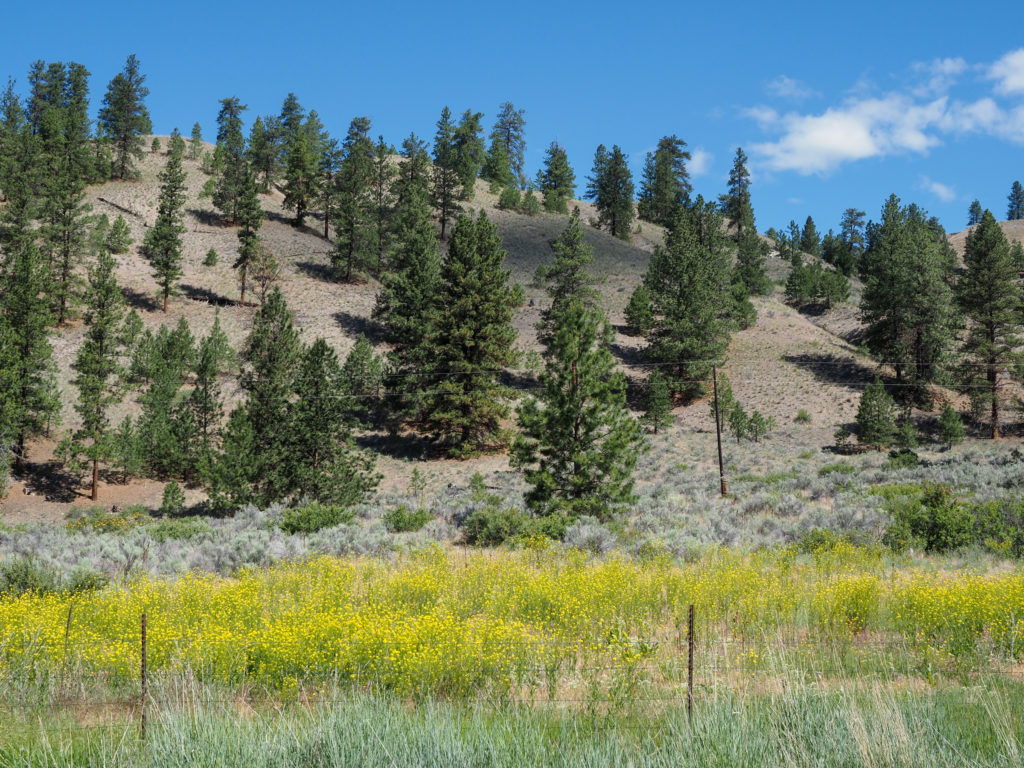
More wildflowers on wauconda pass

I reached to summit at about 1:00, so five hours after I left.  Consider I thought I could be done with the whole ride in 4-5 hours.  I had mostly downhill into Republic.  It seemed more green and wet on this side of the pass.
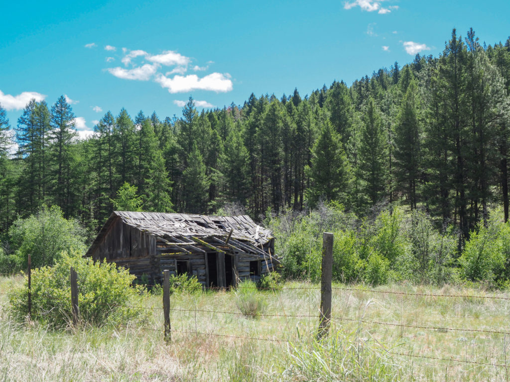
I wonder how old this is? Along the road on wauconda pass

I thought a lot about my camping situation, should I send my gear home to save weight of give it a week or two? I was feeling the inevitable was sending it home so why not just do it tomorrow before tackling Sherman.
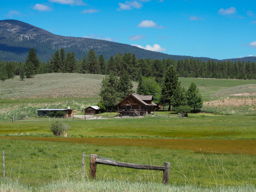
Nice house along wauconda pass

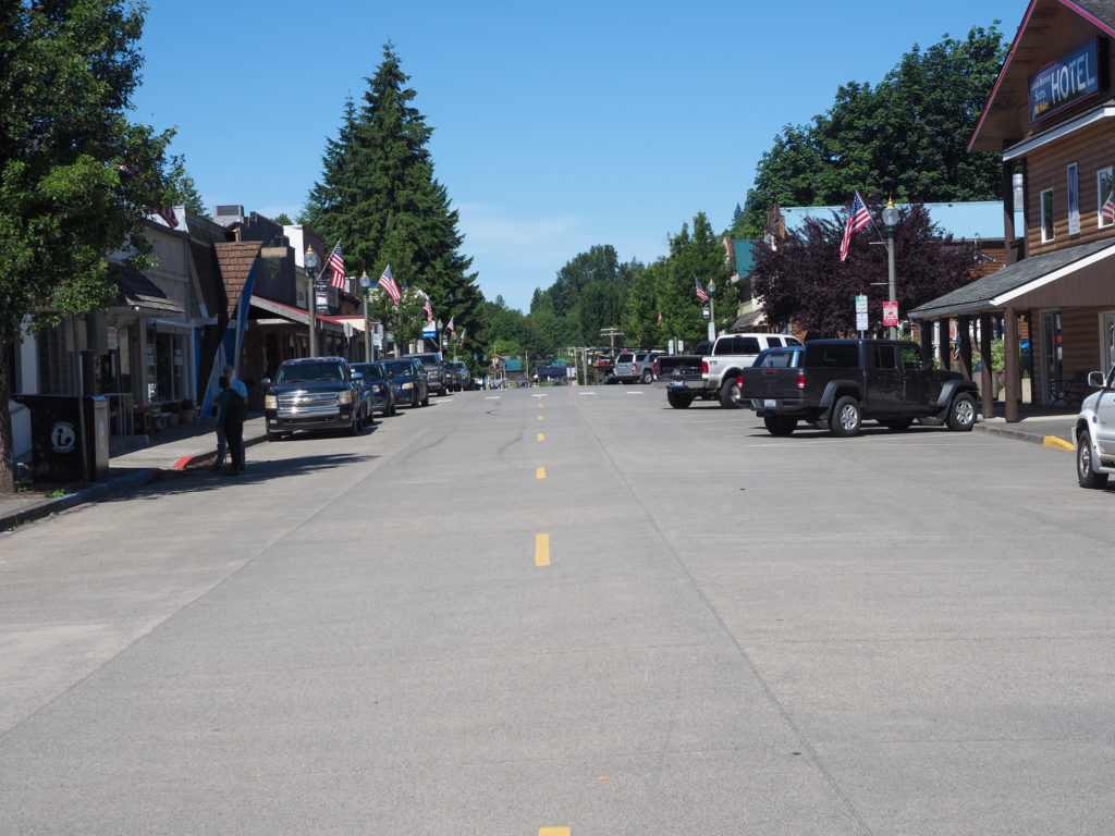
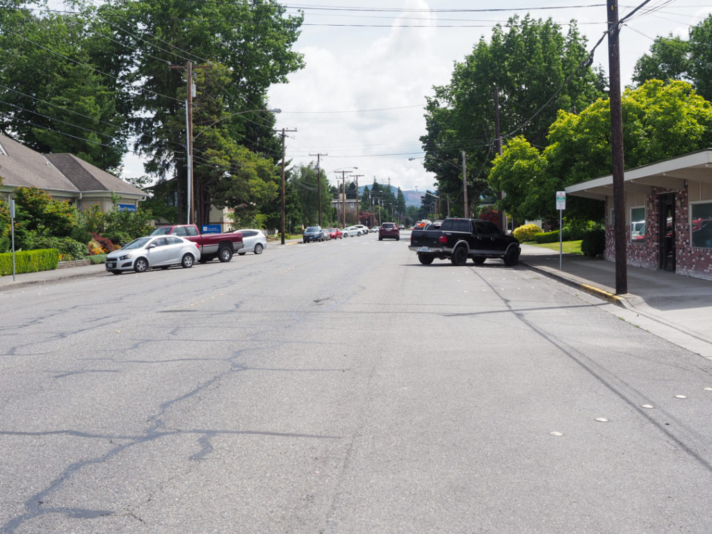
I made it too Republic a little over an hour later, not too bad for the remaining 15 miles.  My first stop was the brewery to “rehydrate” and figure out where I was going to stay tonight.  Not much in the way of camping here so one of the few motels was my best option.  The beer was good so I decided to stay at the motel next door, the Klondike Motel, $55 ($70 with taxes and such).  I could barely peddle up the short hill to the motel, it wasn’t the beer, my legs were done.  Tomorrow has to be a rest day.

Top of wauconda pass

It’s now 3:00 and I haven’t had any real food since 6:30am, other than beer which is food by the way, and some trail mix on the road.  For whatever reason while riding I was thinking about salad and sardines, yes sardines. So I went to the local supermarket and bought some “snacks” before dinner, a bag of salad, a can of sardines, and a cup of yogurt.  Back at my motel I tried using my spork to eat the salad which wasn’t working to my satisfaction so I grabbed handfuls and stuffed it in my mouth. I then tore open the sardines and grabbed those little guys with my fingers. So good. Washed it all down with the yogurt. Now I was ready for diner in a couple hours.
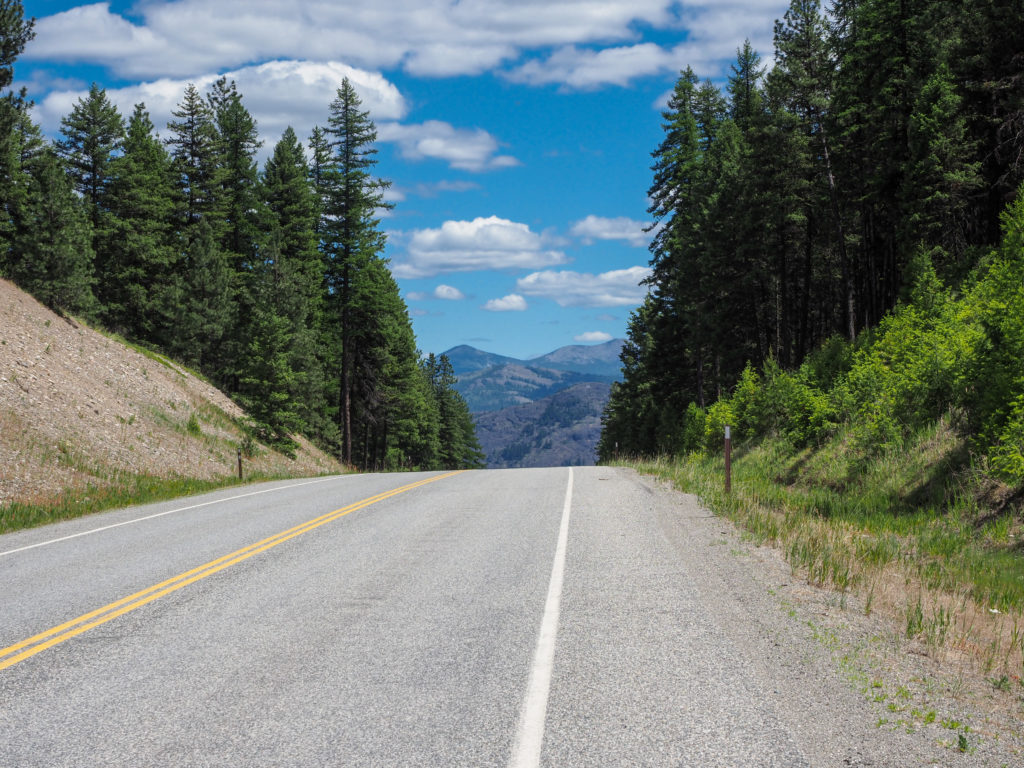
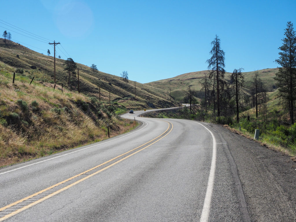
Decending wauconda pass

I grabbed takeout at a local restaurant and went back to the brewery where I met a few young touring cyclists.  Two women were on a northwest loop tour and met up with a guy they are now riding with who is on an overlapping tour segment heading west. We had a great conversation about touring.  They told me about meeting a 16 year old kid on a folding bike touring by himself heading east.  They said he was a beast in the mountains. They met a retired couple on a circumnavigation tour of the US.  I asked lots of questions about my gear and how I’m packed.  They told me it’s all cool and I should definitely not send my camping gear home.  One reason is Glacier National Park.  The guy said it’s the highlight of the norther tier, a must do.  Cycling provides challenges since the road in dangerous so you want to start early before the traffic which requires camping. So I will hold on to my camping gear for at least a while longer.
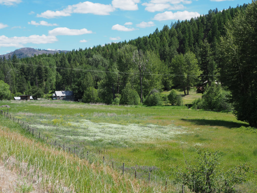
More wildflowers on wauconda pass

Most of the day was not fun but ended well with good conversation.  I don’t want to sound too negative.  I did expect this to be hard and knew I would have to figure things out as I go. I certainly haven’t entertained any thoughts of quitting, just trying to figure out how to ride my ride.
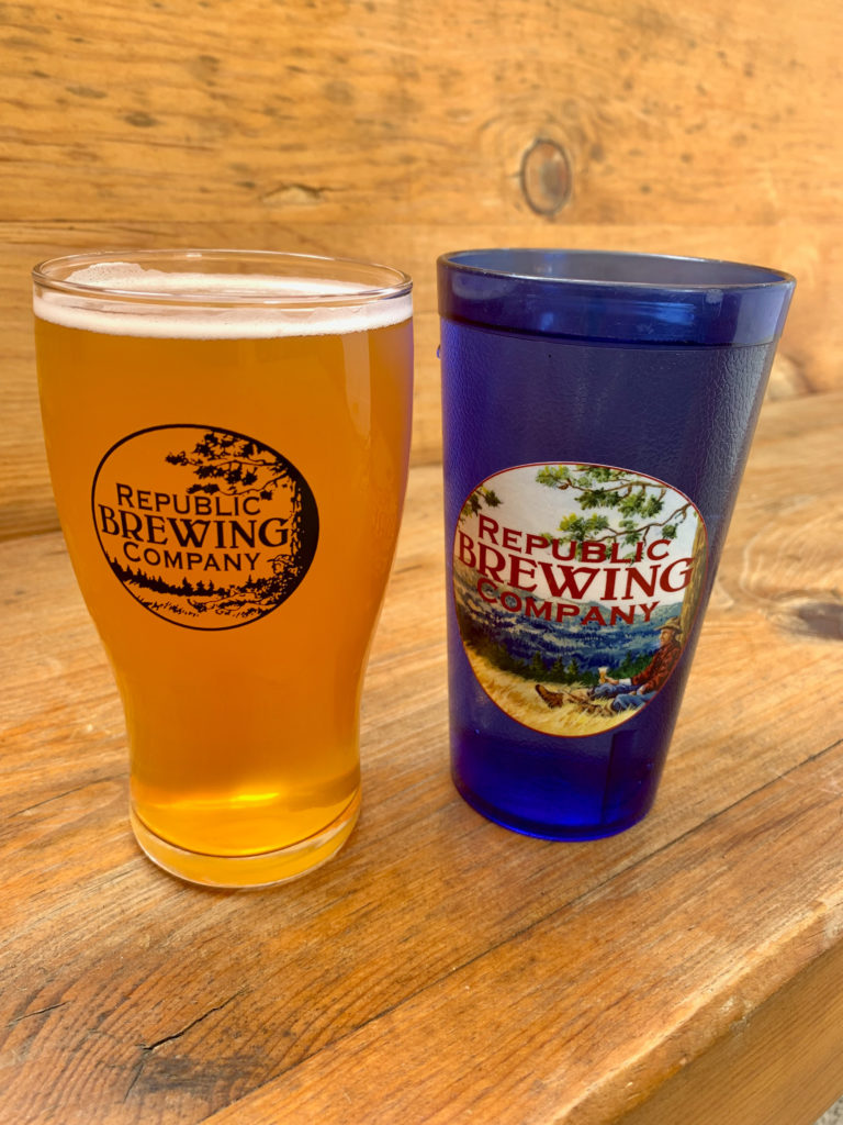
Beer and water, to “rehydrate”.

Day 4: June 19, Winthrop, WA -> Tonasket, WA

In Winthrop, WA as I leave for the day. One of the bikers asked if I wanted my picture taken. Nice town, nice bikers.

Start: 7:46

Finish: 6:40

Saddle time: 7:00

Ascent: 2,821 feet

Descent: 3,844 feet

Miles: 77.7

Total miles: 250

Highlight: Riding up Loup Loup Pass. My legs felt surprisingly good after yesterday.  Even though the area had burned a few years back the scenery was great.

Lowlight: The last 30 miles.  Gradual downhill I should have cruised along at 20mph without much effort but had to fight for 8mph in a headwind

Cyclemeter: Follow this link to see the data I’m collecting with the cyclemeter app. You can see gps information, speed, elevation, distance, cadence and heart rate. My watch died at the end so it was flatlined, the same way I felt. Better viewed on a computer where it’s easier to play around with the graphs.

Today is making me reevaluate how I plan and execute this tour.  The day started out great but went downhill fast.  I had a lot of time to think, get angry and maybe find some lessons learned for how I need to approach this tour, at least mentally.

Along the way from WInthrop to Twisp.

I slept well last night, was concerned about my neighbors being loud, either they were not or I was too passed out to notice.  When I planned this trip I had expected my morning coffee and oatmeal at camp followed by second breakfast an hour or two later somewhere down the road.  Hasn’t happened yet, until today. I was looking forward to a bakery I heard of in Twisp about 20 miles down the road, Cinnamon Twisp.  I had a good “green eggs and ham” quiche, coffee and a chocolate nibs cookie for the road.  Excellent way to fuel for the upcoming climb.

Along the way from WInthrop to Twisp, seeing lots of wildflowers

Loup Loup pass started soon after Twisp.  Less climbing than yesterday but it has some steep grade.  Shortly up the road I saw a cooler at the end of a driveway with a sign saying cold water for bikers but I was still loaded with water from the campground.  Nice thought, though. 

Early on Loup Loup there are some really nice locals

Up above I listed the climb as a highlight.  Sounds kind of crazy but it was way better  than what was to follow.  I felt good, got into my climbing grove early and just kept going.  I was really happy I still had it in my legs.  At one point I stopped for a break and water, looked up and realized everything around me had burned. I had no idea I was in the middle of such destruction. The downside of “climbing mode” is I don’t see much but pavement. It was quite beautiful as nature was taking over with all the green undercover growing back.  I recall hearing about big fires out here a while back killing a few firefighters.

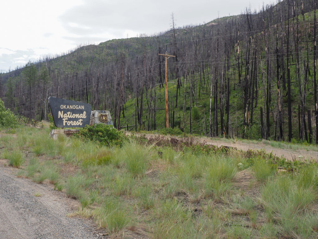
Okanogan National Forest burned in 2015, killing three firefighters.

I reached the summit around noon and stopped for some pictures and a lunch of tortillas and Nutella.  On the way down I stopped for a picture of the fire destruction.  Maybe it was my dizzy fatigued state but looking out on a hillside at the burnt remains of trees reminded me of Saguaro National Park.  The burnt trees looked like cactus that look like trees.

Top of Loup Loup Pass

Soon after things turned worse. I was getting swirling winds up top which turned in to constant headwinds about 2/3 of the way down.  I was peddling on fairly steep downhills just keep up 15mph while I should be coasting and breaking.

East side of Loup Loup reminded me of saguaro cactus

The scenery continued to impress.  I descended into a farm and orchard area.  The area still looks dry but they seem to grow a lot of fruit with the help of irrigation.

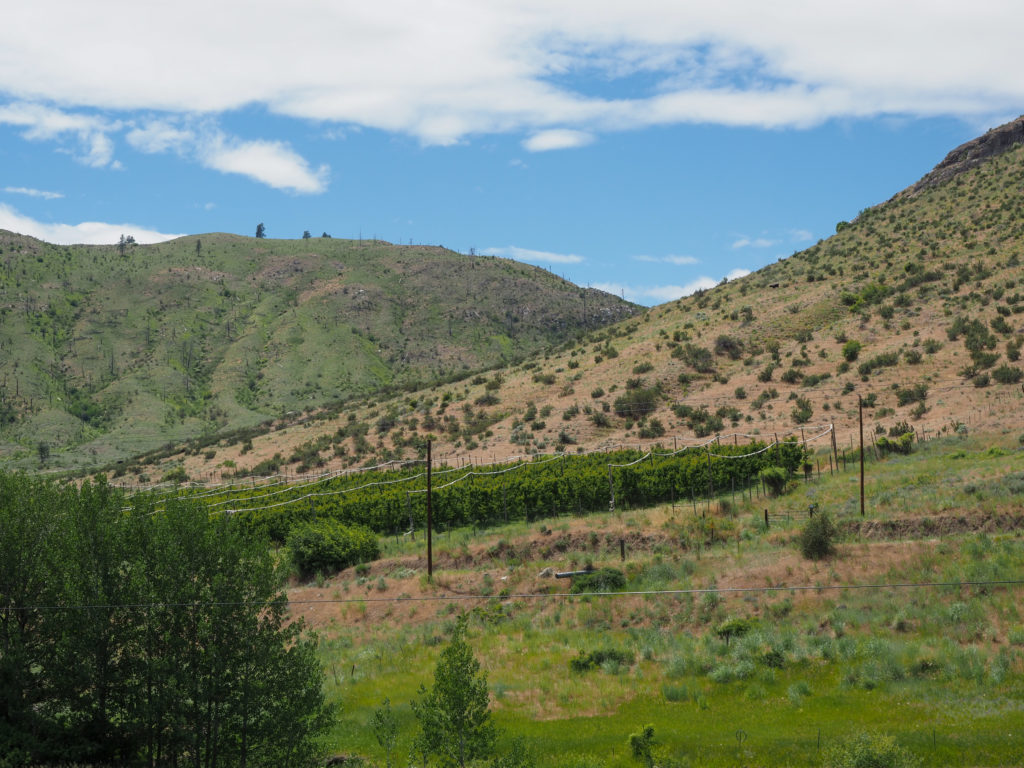
East side of Loup Loup descending into farm and orchard country

I had a 20 mile descent from the top.  I figured with stops for hand breaks and photography it shouldn’t take me over and hour and a half, could be as little as an hour.  I reached the first town, Okanogan,  in over two hours mostly because of the headwind.  I had some gatorade and gas station tacos for a snack, you take what you can get.  I was out of water so refilled as well.  I still had a lot of miles to go, about 30, but they are all net downhill.  My prior expectation was to average close to 15+mph without much effort so I could cover the distance in about 2 hours.  By now it was after 2:00 and I had expected my day to be done around 3:00, clearly not going to happen.  I was concerned about making time in this wind.  I looked at the map and found a bailout option about halfway in Riverside.  I could stay in the RV park if this isn’t going well.

I continued on through Omak and was surprised by the amount of garbage along the road, most of it beer bottles with the occasion soft drink can. The opposite of what we see back home and with much more abundance.  Doesn’t make me feel safe on the road.  Got heckled for the first time.  Couldn’t tell exactly what was said but they were not words of encouragement.  So Omak, you win the prize for the trashiest streets and the trashiest people.  Congratulation but I still have a long way to go. Early leaders usually don’t win.

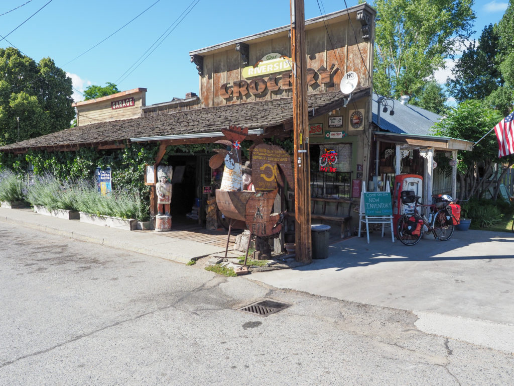
Made it to Riverside and had a fudgsicle from a cool little general store.  Contemplated just staying here the night but decided to continue on, wanted to make progress so I’m better set to start climbing tomorrow and there really wasn’t much in this town for food, other than the general store.

Cool store in Riverside, stopped for a fudgecicle

At this point fatigue was really getting me.  The wind was incessant and seemed to be growing stronger so I had to stop a lot.  I’d ride maybe a few hundred yards then stop, repeat.  It was close to 7:00 by the time I made it to Tonasket and I was in no mood to setup a tent so I stayed in a cheap motel.

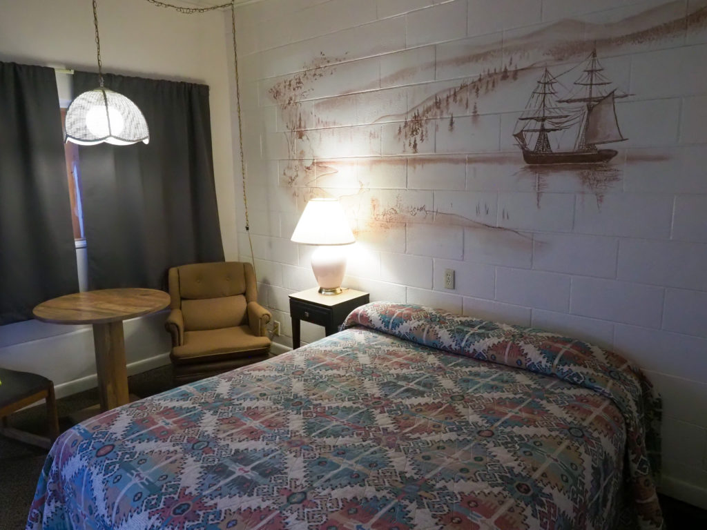
My place for the night.

Nice little town, but like all small towns things shut down early and I was starving.  For the last few hours or riding all I could think about was food, and beer.  By the time I showered and headed out for food it was close to 8:00.  I found pizza place where I ordered a beef au jus sub.  While it was being made I went out looking for beer.  Found a convenience store where I could buy a six pack.  The bag of dried beef looked good as did the protein bars so I bought them as well.  On the way back I saw a Mexican food truck I wish I had seen early so I bought a few tacos. Took my stash back to the hotel, gave three of the beers to my neighbor, didn’t want to be tempted to drink all six. The sub came with au jus dipping sauce.  I don’t dip, anything, not even cookies, but I dipped. Not only that but once finished with the sub I drank the rest of the dipping sauce then ate the bag of dried beef.  I stood down after that saving the protein bars for tomorrow.

So what I learned from today is the days take way longer than I expect.  I thought I could ride 6 hours a day and make about 70-80 miles depending on conditions.  With stops my day would be 8-9 hours long.  That isn’t happening.  I did make almost 80 miles today but it took me nearly 12 hours.  I know the wind today was extreme but my previous days also took way longer than expected.  I underestimated how often I would stop for photos or looking at the map and how often I had to stop for rest and water.  I need to take this into consideration as I plan my days.  Maybe I need to shoot for no more than 60 miles a day for the next week or two as my body get used to this.  I’m also still considering bagging the whole camping thing.  I was way too angry to deal with camping tonight.  I don’t want to decide to ditch the gear too soon and regret it but at the same time I have a big climb in a couple days, Sherman Pass, so I have some decisions to make.  I do want to lighten my load somehow.

For now I’ll sleep indoors.

Classy room.

Notice up top I added a link to my cyclemeter data. I’ll update the previous posts with the same.

Day 3: Colonial Creek Campground -> Winthrop

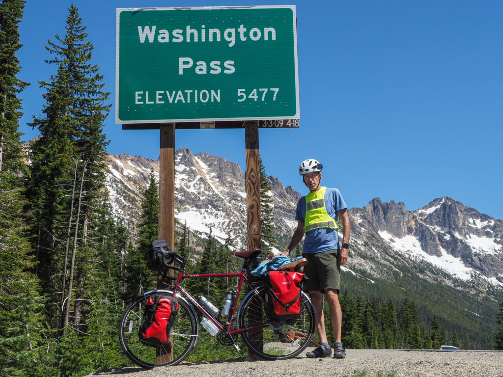
At the summit of Washington. Really happy with this climb.

Start: 7:35

Finish: 5:30

Saddle time: 6:07

Ascent: 4,977 feet

Descent: 4,169 feet

Miles: 65

Total miles: 169

Highlight: The ride down the east side of Washington pass had spectacular scenery, although a little scary on a fully loaded touring bike

Lowlight: About 5 of my 6 hours saddle time was all up hill with plenty of 6% grade.

I slept reasonably well last night, getting a better hang of setting up camp and getting comfortable in the tent.  I had hoped or 7:00 start but didn’t get out until about 7:30 and that’s with getting up at 5:00.  I have to get better at this.

Today was a big day, all about climbing. I had concerns about today since I started planning this trip. This climb isn’t crazy by any means but it is very challenging,  way more than anything I’ve done living on the east coast. I was able to employ lessons learned yesterday. I spent most of the day with my head down only looking at the two feet of road between my handlebar bag and my helmet.  Occasionally when I glanced aside I would loose my balance and start to wobble, almost uncontrollably, so I stopped that.  Most of what I saw on the way up was during water and rest breaks.

I have three chain rings in the front.  For the bike geeks out there I don’t recall the sizes.  Although my bike is only a few feet away I’m too tired to get up and check. I spent all day today in my smallest front ring (easier peddling). On steep climbs I tried to stay on the second or sometimes third ring on the back (out of 10) so I had some gears to spare if I got seriously tired or conditions turned really bad.  I had my chain ring that I could peddle at a slow but rhythmic cadence, keeping my legs under the red zone.  You find the place where although it’s hard you can keep going. Working your gears is really important.  It’s easy to just settle in the lowest gear and peddle but often if you go up one gear once you get to speed it doesn’t take noticeably more effort and you can gain a mile or two per hour.  This really matters when you are going 5mph. One mile per hour means you will be peddling about 20% less time, huge when you are climbing for hours.

I quickly got over the fact that I’m riding with traffic, often with little shoulder. This completely freaked me out yesterday. As I may have mentioned it’s been a couple decades since I’ve done much road riding.  It took all my mental energy to just keep the bike upright and moving forward. If I thought about the traffic I would start to panic, my heart rate would skyrocket and I’d get really tired.  I had the realization that I’m doing all I can with wearing a high vis vest and running a flashing light on the back so if someone is going to hit me there’s nothing more I can do.  Just keep going and don’t think about it. I need to keep my heart rate in the 140bpm area.  If I get over 150 on a bike I’m in trouble, not going to last long.  Focusing on breathing helped to keep me calm and slow my heart.  Very zen and meditative, with the possibility of getting run over by an RV.

I should talk about traffic.  The first hour or so was mostly fishermen pulling boats.  I understand there’s a popular fishing area the other side of the pass.  It was pretty quite between 8:00 and 10:00, then the RV’s started to roll through. I’m sure full time RV’rs are mostly good drivers but I have concerns about the crew that takes there rig out for a week or two a year.  I know because my first day driving an RV in Australia I hit a low hanging branch. I’m going to coin the term AIP, asshole in a pickup.  Most of the aggressive drivers I encountered, which were few, we in pickups and typically the big ass variant, with a Trump flag hanging off the back.  Actually I didn’t see that but it’s fitting for this crowd.

Climbing started immediately after leaving the campground.  I was hitting 7%+ grade for the first several miles but I took the lessons learned from yesterday and pushed through about 45 minutes without stopping.  I saw a couple stopped on the side of the road, we chatted as I passed but I added I’d like to stop and talk but want to keep the momentum.  We leapfrogged each other, when I stopped they did the same.

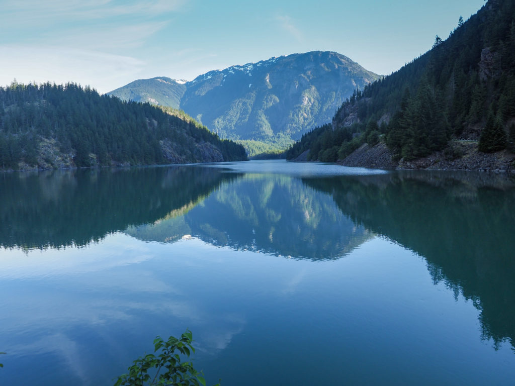
Diablo Lake early in the morning

Late yesterday my neck really started to hurt, so much I wanted to stop on the downhill.  I was starting to feel the same pain and I have a lot of riding ahead of me.  At the base of Rainy Pass I stopped to pop an Advil, hopefully this will help. As the day went on it didn’t get too bad until again at the end of the day.

The ride up Rainy went on for miles and miles.  I thought I would get to the top around 11:00 or 12:00 but at 12:00 I still had miles to go.  I pulled over for a lunch of tortillas and Nutella. Last night I made the decision to lighten my food load.  I need to carry less.  I bought small jars of both Nutella and almond butter, because they taste good not because it was a good idea.  I tossed the almond butter. Nutella has lots of fat and sugar, terrible stuff but it will keep me fueled, and my daughter Sierra will be happy (big Nutella fan).  I also tossed 2/3 of my tortillas since it was a 2lb pack. I ate one of my two dinners of packaged cooked rice and packaged cooked Dahl for breakfast.  Figured I needed the fuel and no need to carry two dinners.

Climbing up Rain Pass
Climbing up Rainy pass
Top of Rainy Pass, I see snow not rain.

Reached the top of Rainy around 1:15.  Met more trail angels. While taking a pictures I saw some people in a pull off up ahead.  A couple were standing out kind of strangely, made me think they were handing out water during a road race.  As I approached they waved me down, asked if I needed any water or peanut butter and jelly sandwiches. I took the water since my bottles were empty.  I did load up an extra 2L in a dromedary bag which because of them I didn’t need but better safe than sorry. There were shagging a few other people doing the ride.

I had heard Washington Pass was shorter but steeper than rainy.  That wasn’t my experience, although I could have been too hypoxic to notice.  I ground away and actually reached the summit about a mile before I expected, still with gas in the legs so I was happy. I summited Washington about an hour after Rainy. Beautiful scenery up here.  I stopped for a while to charge my phone (from a battery) and take it in.

Climbing Washington Pass
Top of Washington Pas

Now I had a thirty mile ride all downhill to my destination in Winthrop. The decent was step and scary. I’m really not comfortable going much over 35-40mph on this bike, especially with the wind. Consequently I kept tapping the brakes which required frequent stops to rest my hands and calm my nerves.

Ride down Washington Pass

This side is substantially different than the west side, very dry and arid, more like a high desert with sage brush.

I stopped in Mazma on the way down because I heard there’s a cool general store there with lots of interesting stuff.  I could use a snack anyway.  Pulling in I heard someone yell “is that John?”. It was Mike from yesterday.  He was riding his e-bike in the area today and was also staying in the same town as me.  We agreed to meet for diner.

Mazma Store

Winthrop is an interesting town, very western feel. Touristy of course but small, walkable and interesting.  Worth a stop if you are in the area.

Winthrop, Washington

I’m staying tonight at the Pine Near RV park.  Lots of kids and a big group of bikers so I don’t know about sleep tonight.

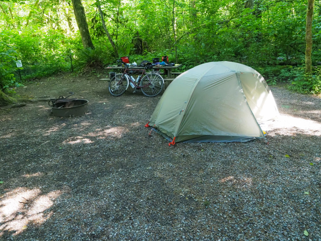
Campsite for tonight at Pine Near RV park in Winthrop, WA

Day 2: Rasar State Park -> Colonial Creek Campground

Getting started in the morning with coffee and oatmeal. Chilly but not too bad.

June 17, 2021

Day 2: Rasar State Park -> Colonial Creek Campground

Start: 9:05

Finish: 4:45

Saddle time: 4:33

Miles: 57

Total miles: 104

Highlight: The ride from Newhalem to Diablo. Excellent scenery with step cliffs and gorges. 

Lowlight: The ride from Newhalem to Diablo. Holy crap! It was only about 10 miles but took me almost 2 hours. I stopped a lot for rest and pictures, honestly more rest. 

I didn’t sleep well last night.  I just couldn’t get comfortable, not that any of my gear is uncomfortable, it’s just not a bed.  The tent was warm when I went to bed so I had my Feather Friends down quilt setup as a blanket.  These quilts seem awesome but I’ll leave judgement for a few weeks.  You can completely unzip and use as a blanket since there’s no head covering like a typical mummy sleeping bag.  You can also zip them up and synch the foot end to use like a regular sleeping bag.  By 3:00am I was cold so I converted to the sleeping bag arrangement. I also brought a cotton travel sheet/sleeping bag liner.  It’s more bulky than a thin, close fitting mummy sleeping bag liner and includes a zipper.  I think when the nights gets warm a simple cotton sheet will be my preference so I choose the added bulk and weight for future comfort.

After cooking up my coffee and oatmeal I had a later than expected start at about 9:00, not a problem since today should have been an easy day.  It wasn’t.  Roads were a mix early on of riding on or paralleling route 20.  Both were perfectly fine.  This section of route 20 had wide shoulders while the back roads traveled through some nice country.

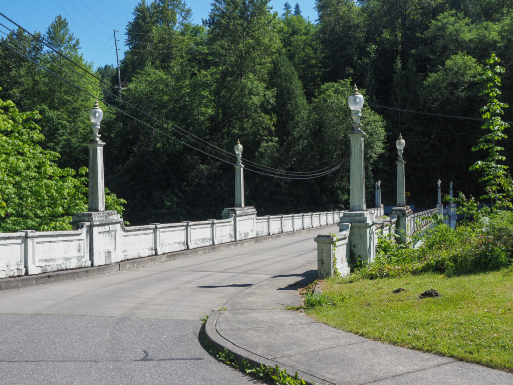
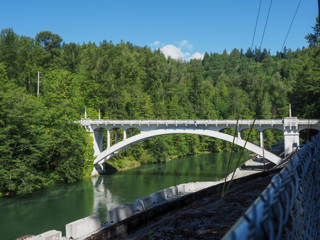
I rolled into concrete and was photographing this obviously old bridge when a woman approached asking about my ride.  After filling her in I pumped her for information about Concrete.  Apparently they did make concrete in Concrete, especially for the early 20th century western damn projects.  The bridge I was photographing was the longest spanning concrete bridge at the time of construction in 1918.

Concrete silos in Concrete, WA
Downtown Concrete, WA
100 year old bridge, largest spanning concrete bridge when built, in Concrete.
Another bridge view

Michelle and Julie were making the ride out again to meet me and do some sightseeing.  Just past Concrete seemed like a good place and time to meetup for a picnic lunch at a Miller State Park.  While stopped at a construction site just down the road one of the guys asked me where I was headed.  I said Connecticut.  He said where’s that? I said the state.  He said, oh geez!

View along with way to Rockport
Heading out after lunch

I left the park with about 35 miles to go which I figured would take me about 3 hours with water and photography stops. The first part of the ride paralleled route 20 on quite back road which were very nice but had rough chip seal surfaces.  I blamed the chip seal for my slow progress but at the end of the day looking at the elevation profile I see that it was all up hill, gradual but uphill.

Scenery along the way
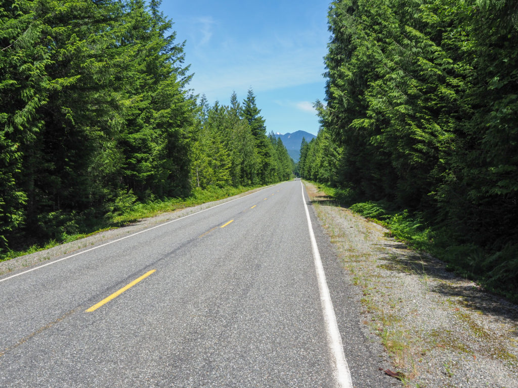
Awesome road, except for the chip seal surface. Lightly traveled, paralleling route 20.

I reached Newhalem at 3:00 with 10 miles to go.  Typically this would take about 45 minutes or so but looking at the elevation profile I saw it was uphill, not crazy step but actual climbing, not just a few hills.  The scenery was fantastic with step cliffs and gorges.  I’d like to say I stopped for a lot to take pictures but honestly I was seriously tired on this climb.  Maybe because it was just the second day or that I didn’t sleep last night or that I was completely freaked out about getting run over by an RV.  Eventually the utter fatigue took over and I had to enter zombie mode, just look at the two feet or so in front of me, find the right gear and cadence that I can continue, ignore the possibility of getting hit by an RV or logging truck and just keep going.  Honestly it had me seriously questioning tomorrow, can I do this.  Lots of people do it, often older or in less shape than me.  I kept telling myself I had little sleep last night, it’s day 2 and my east coast legs are not conditioned for west coast climbing.  Climbing like any challenging physical activity is more of a mind game than physical feat. You just need to focus on what’s immediately in front of you and keep going.

More cray nice scenery
My first tunnel. Actually kind of scary. Anyone considering this route should know the shoulder in the tunnel is unrideable so you are in the lane. You REALLY need lights or you will die.
One the way to Diablo from Newhalem.

I made it to the campground at 4:45, nearly 2 hours after planned.  I looked around for Michelle and Julie but couldn’t find them, they must have gone home.  Just in case I figured I’d wait until 5:30 or so before cooking my own food.  

My campsite for the night.

Long distance hiking trails like the Appalachian trail have the concept of “trail angels”, people that help you out, just because.  Same thing applies to long distance bike routes.  While waiting for Michelle and Julie a guy named Mike came up to me and started asking about my trip and offered me a beer.  My savior! I was seriously thinking about asking the guy at the next picnic table drinking a beer if I could buy one for $5.  The thought of beer and the cheesecake Michelle bought in Concrete kept me going. Just as we started drinking Michelle and Julie  showed up.  Lots of chatting with Mike then another picnic dinner with Michelle and Julie and I was ready to head back to camp which I still had to setup and figure out how to get clean for the evening since the campground didn’t have showers. I need to improve my setting up camp skills because it takes too much time.  I’m actually starting to wonder if I hate camping, not like I haven’t done it before but just rolling into a hotel would be so much easier, and I would carry less weight.  I’ll ponder while I ride.

You will see in the picture above I’m wearing a yellow vest. I brought it with me but didn’t wear on day 1 thinking my roads would be calm. I caught up to a couple college age kids on a miles long straight road. One had a yellow vest, I could see him from maybe a mile away, convinced me anyone riding on the road should be wearing one. Your public safety message for the night.

Day 1: Camano Island -> Rasar State Park

Day 1, mile 0

June 16, 2021

Miles: 47

Start time: 8:55

End time: 2:38

Saddle time: 3:23

Highlight: Just getting going and ending the anticipation. Realizing a mirror on my helmet is a fabulous addition. Highly recommended, never rid with one prior to the past few weeks.

Lowlights: Thinking I didn’t pack my battery pack. Tore through my bags along the side of the road at a diner but came up empty. Found it setting up camp, smartly placed in a side pocket for easy access. Sometimes I impress myself.

I love coffee.  I also love beer but if I could only drink one for the rest of my life I would probably choose coffee.  It’s an important part of my morning.  I sat at our friends house on thinking this may be the last, or one of the few, good cups of coffee I have for many weeks.  Since I’m camping most of my morning coffee consumption will be instant, Starbucks Via which is just bad not terrible like most instant coffees. I considered bring everything from a small grinder to just a simple drip filter but realized all combination would add noticeable weight and bulk, so I’ll just have to suck it up.

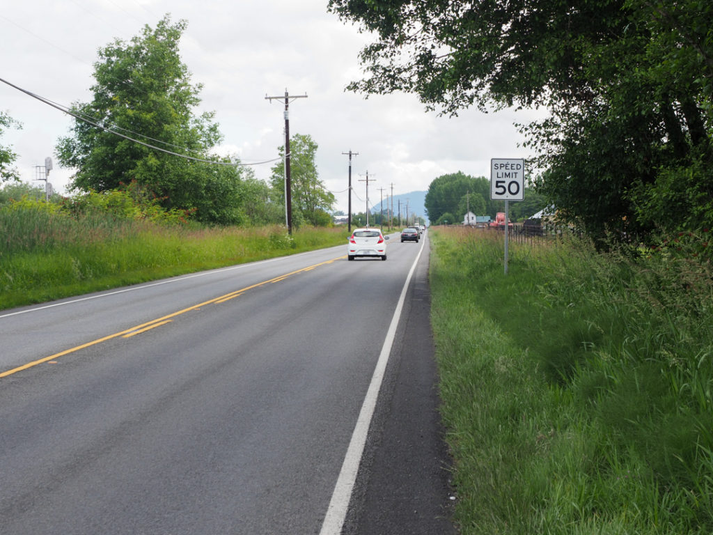
I was on the road before 9:00am, plenty early enough for what I planned to be about a 57 mile day.  I had to ride about 25 north to the town of Burlington to join the official Northern Tier.  Google maps found my way by paralleling interstate 5 most of the way.  Turned out this was jumping in the deep end because a lot of this route had little shoulder and 50mph speed limits.  They seem to love chip seal out here as most of the roads were sealed with the stone/tar combination making for a rough surface and lots of stones congregating on the shoulder, if there was one.

Fast speeds, little shoulder but at least it’s straight.

I recently read an article about bike safety which stated, counterintuitively, that riding in the lane is safer than sticking close to the shoulder.  In the lane you are more apparent and it forces drivers to think about getting around you, risking their own lives by veering into on coming traffic. I’m taking this under consideration as I ride.

I’m from Connecticut.  Some of you may be from more progressive states where marijuana sales have already been legalized. For me it was noticeable how many marijuana dispensaries and passed.  Not that I care either way but I did consider if a little weed would help my ride. As I write this at my campsite my neighbors are getting baked.

Plenty of weed available in Washington State.
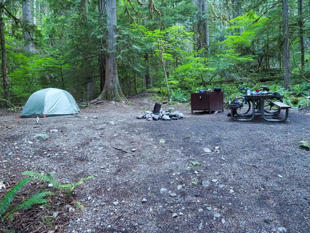
May not look like much but it’s where I join the official northern tier route in Burlington.
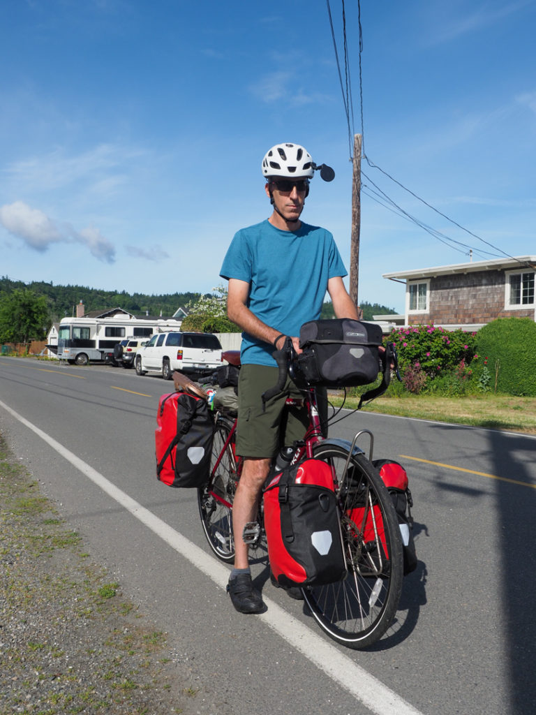
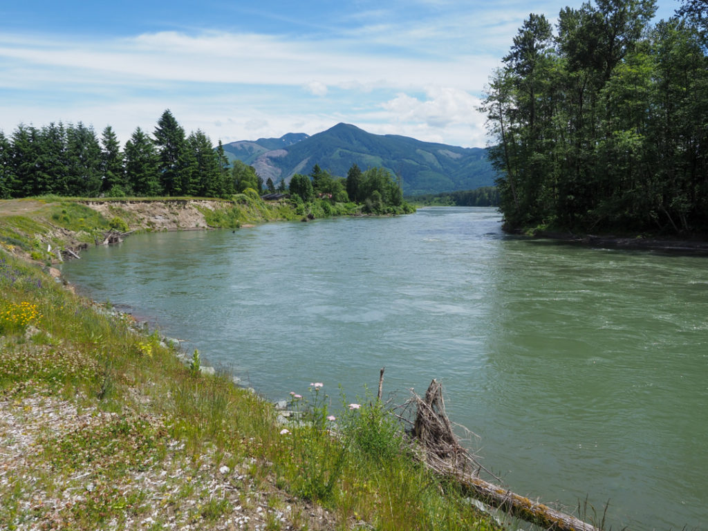
Once on the official route the roads were excellent.  I mostly paralleled route 20 on back roads with little traffic.  I only rode about a mile on route 20.   Lots of farm land out here.  I got up and close with the Skagit River for the first time which will be my friend for the next several days as I ride into the cascades.

Skagit river, my friend for the next several days.

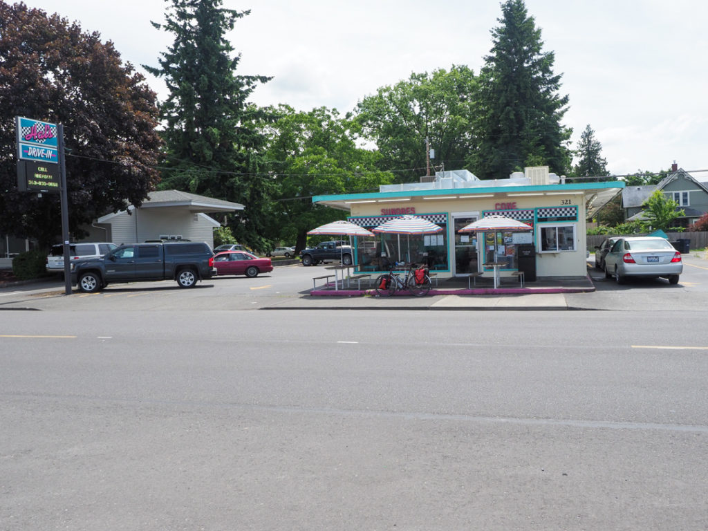
Remember when Twitter was just starting and the joke was who cares what you had for lunch?  Well I think people actually do care what I have for lunch.  How do you feed yourself on a bike tour? I bought food and snacks for lunch but ended up stopping at a roadside diner that looked pretty popular, Hal’s Drive In. I had a mediocre fish sandwich. I feel like I’m carrying too much food weight when food for the most part is readily available, one of the things I need to sort out as I get more riding time.

Where I had lunch. Super popular drive through with a line of cars up the road.

I made the mistake of keeping my google maps navigation on as I rode north to Burlington, a route I know because we drove it in the car the past couple days.  A couple hours into the ride my battery was getting low so I figured I’d charge with my battery bank.  No luck finding it.  I tore everything apart while at the diner but could not find it. I asked the girls working the window if they could plug my phone in to top it off which they did. Michelle and our friends offered to meet me for diner which worked out perfect, they could stop at Best Buy and get me a replacement battery. 

Could be the northeast

The day turned out shorter than expected.  I previously had mapped 57 miles but it ended up being 47.  I may have taken a more direct route north that previously mapped.  Setting up camp I took one more look for my battery and found it smartly placed in a side pocket for easy access.

My campsite in Rasar State Park

Michelle, Julie and Carolyn met me for diner, bringing the iPhone charge cable I forgot in the car (a spare, I’m carrying two).  We ate at the Birdsview Brewing Company which was a good way to end the day.

I kid myself, said I need to ride up there but maybe I’ll end up down here.