Day 16: July 1, Pinnacle, MT -> East Glacier

Day 16: July 1, Pinnacle, MT -> East Glacier

Start: 6:40 AM

Finish: 10:53 AM

Saddle Time: 3:08

Ascent: 1,832 feet

Descent:  741 feet

Miles: 35 miles

Total Miles: 820

Highlight: Climbing Marias Pass and reaching the continental divide.  It’s all downhill from here, right?

Lowlight: Ending the day way too early at 11:00.  Wish I could have gone further but nowhere to stay down the road.

Cyclemeter:  Follow this link to see the data I’m collecting with the cyclemeter app. You can see GPS information, speed, elevation, distance, cadence and heart rate. Better viewed on a computer where it’s easier to play around with the graphs.

Today was a good day, one I’ve been looking forward to for several days, my last climb in the Rockies.  Got an early start and it was nice and cool with a brisk breeze, almost wanted to put on my sweatshirt but knew I would be climbing soon.  The climb stated almost right away but was very gradual, mostly 3%-5% grade so way easier than previous passes. The scenery was actually really nice as well.  I felt comfortable enough knowing I would finish easily that I stopped frequently to take pictures.
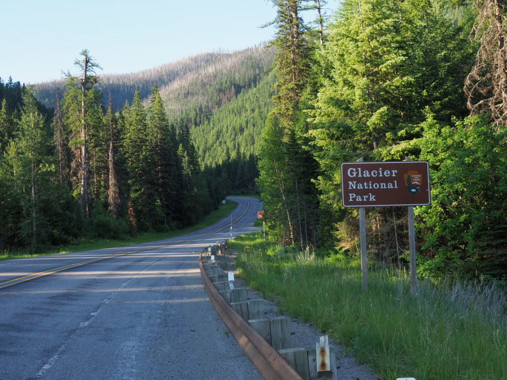
Highway 2 skirts the south end of Glacier but enters at some point

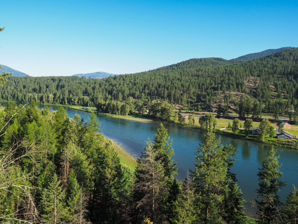
My route continued on highway 2 but it seemed more pleasant today, less traffic since it was early but also better quality road surface.  I had many scenic views of the river below, even saw mountain goats for the first time on the trip.  I saw the by accident as I stopped to take a picture of the river, heard a noise right below me, looked down to see goats.  They didn’t seem to care about my presence.  Not something anyone driving by would see.
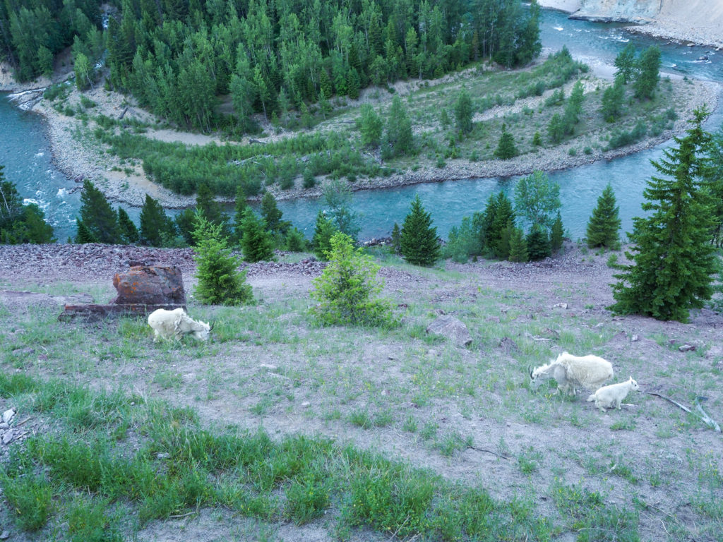
Saw mountain goats for the first time on tour.

I passed an older couple from Maine I met a couple days ago.  I said “Hi Main” as I passed and got a “Hi Connecticut” in return.  This reminds me I should comment on the people I meet along the way.  Some may believe you need to be in top physical condition to do something like this.  Not true!  I’ve met all sorts out here from your women entering medical school to couples much older than me.  Some look like they could run an Ironman while others don’t look like they leave the couch all that much.  This is definitely more mental than physical.  The physical component just dictates how much time it will take, one month for the young guys who can do century rides day after day to three months or more for those puttering along at 40 miles a day.  I’ll fall somewhere in the middle.

Along highway 2 south of Glacier.

Made it to the top of Maria’s Pass and the Continental Divide by 10:00. Finally, goal accomplished.  Took some pictures at the top of the sign and an obelisk constructed in 1931 to honor Theodore Rosevelt, resembling the Washington Monument.

Near the summit of Marias Pass looking towards Glacier

Now I get to recover some of the pain and suffering of the past couple weeks and coast down the eastern side of the Rockies.  Well it’s not that simple but there was a lot of coasting into East Glacier.  Along the way I entered Blackfeet Tribal Territory.

At the summit, last one in the Rockies.

Made it to my motel very early, way too soon to consider checking in so I went out in search of lunch.  Not much in this town but I saw a sign for a restaurant down the road heading into Glacier.  I had a long conversation with a retired couple riding the same route as me, hopefully we will meet up again.  We did meet some of the same people along the way like the father and son team and the couple from Maine. All of us will probably leapfrog each other on the way east.
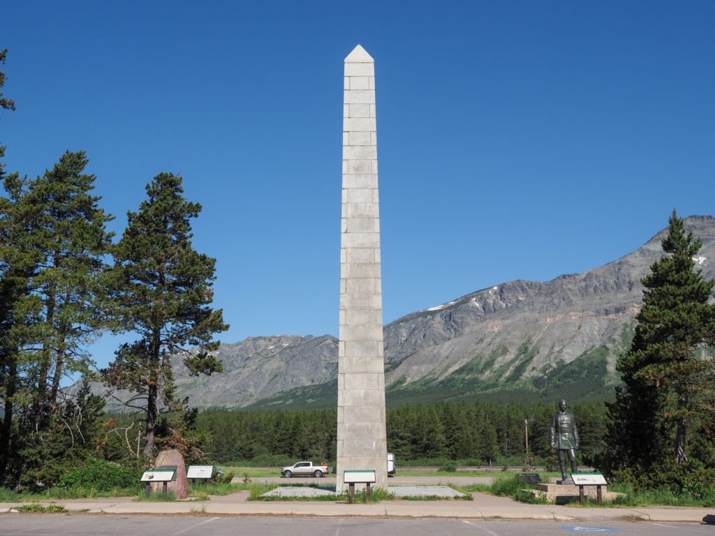
Theodore Rosevelt memorial at Marias Pass

Leaving the restaurant I had a run in with tribal police.  I was riding down the road towards my motel when a guy in a pickup stopped on a dirt road waves me over.  The guy looked somewhat official but not like a police officer.  I quickly discerned he must be tribal police.  The gun on his hip was a clue but this is Montana after all. He asked me “can I see your recreation permit?”. I looked at him strangely and said “Sorry, I don’t know what you are talking about.”.  He said “you need a recreation permit to be on tribal territory. If you don’t have one then there’s a $100 fine.  Can I see your ID”  I immediately suspected this was like a third world shakedown, some dude abusing his power to pocket money.  Let’s take advantage of the lone cyclist.  I said “so everyone in all the cars passing by us has to have these permits?”  He said “no, only if you are recreating on tribal land.”  So I said “what do you mean by that?”.  He said “if you are hiking, camping or going off road”.  I said “well I’m just like the cars, I came in on highway 2 and I’m staying tonight in a motel, tomorrow I’m heading to Cut Bank.  I’m not going off road.  This is a road bike not a mountain bike”. He said “you’re off road right now”.  I was standing on the dirt road where he was parked, adjacent to the paved road I was riding on.  This went on for a while with me getting increasingly angry but trying to stay cool.  Finally he let me go.  Turns out the permit is a real thing and is needed if you are hiking or doing anything off road in the area.  I don’t know why he singled me out, if it was a shakedown or if he saw the tent strapped to my bike and assumed I was going off road.
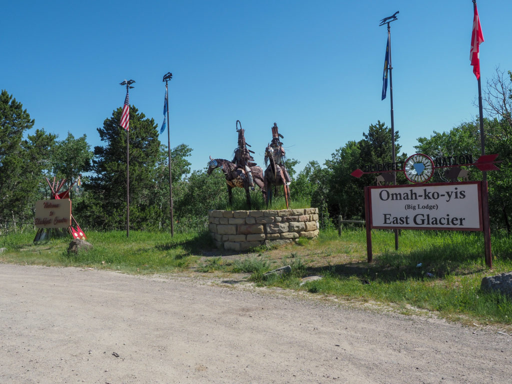
Entering Blackfeet tribal land

I booked my motel online a couple days ago while is taking my rest and planning day in Eureka. It was the only thing available here or in the next town of Browning about 15 miles away. At $250/night I really didn’t have a choice if I wanted to stay indoors. Turns out my room is actually a cabin out back which is very nice, basically a large studio apartment with a full kitchen. Remote and quiet, perfect. The retired couple I met earlier were staying at the same motel but she called yesterday and was able to get a relatively inexpensive room. I’ll take this as a lesson for future days, if places look full or really expensive online try contacting the place directly. Apparently they were not done cleaning the room when I arrived, the bed hadn’t been made, but I jumped in and took a shower.
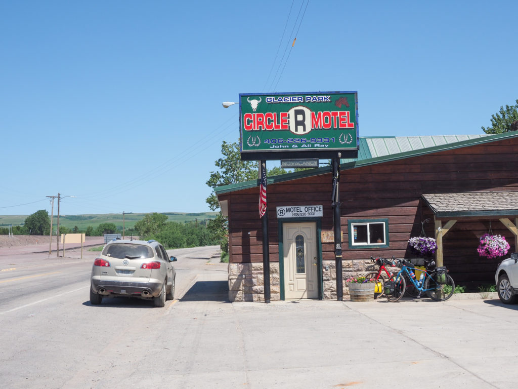
My motel for the night in East Glacier

East Glacier is a small town on tribal territory. The owners of my motel are clearly native along with many locals I saw walking around. There are a few restaurants in town, one was closed on Thursdays, one I ate at earlier then there was a third which I ate at tonight. My waitress seemed a little confused, figured she was new. It took a very long time to get my drink, then salad, and later food. I overheard the manager saying to a customer today was their first day, they just opened. Makes sense. Wish I had know this would take so long, I wold have brought my laptop and used their decent wifi to get some posts out. Tomorrow is another short day with a possible motel stay again so maybe I can get caught up.

My cabin at Circle R in East Glacier
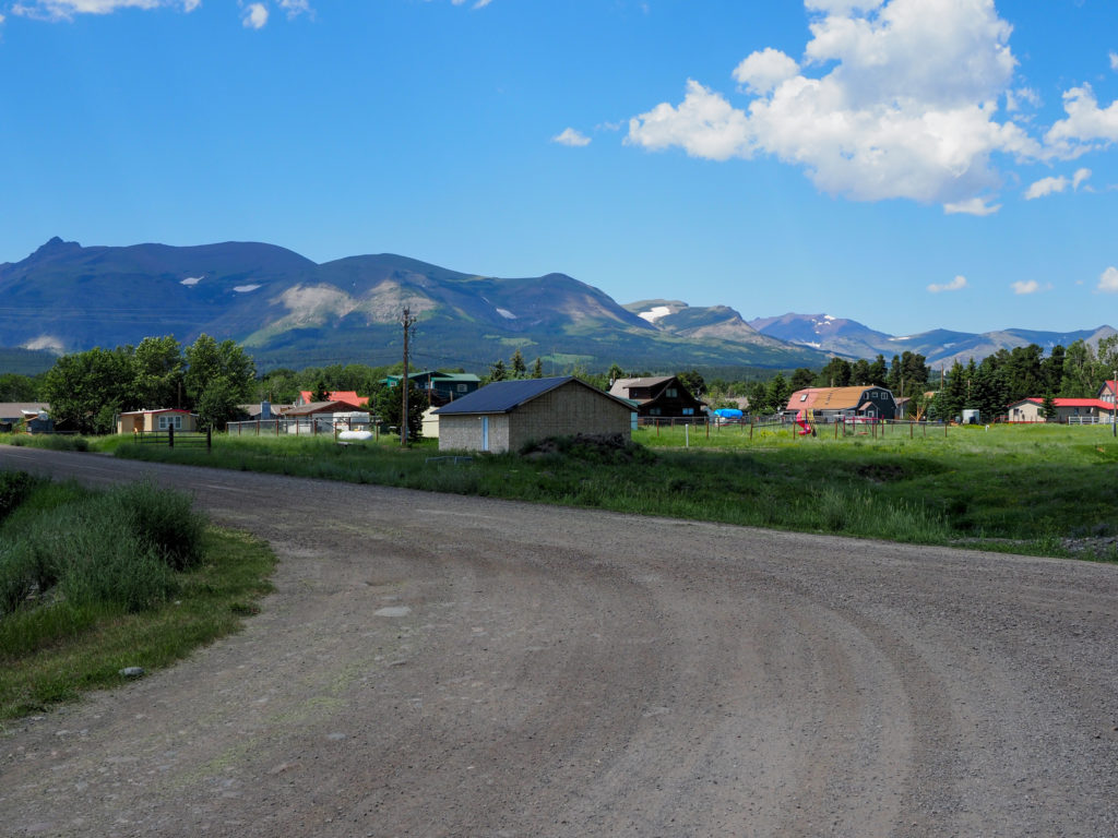
The area around my cabin behind the motel

Day 15: June 30, Whitefish, MT -> Pinnacle, MT

Start: 7:07am

Finish: 12:50pm

Saddle Time: 4:10

Ascent: 1,684 feet

Descent:  1,041 feet

Miles: 49.4

Total Miles: 785

Highlight: Riding a segment of back country road paralleling highway 2 which went over the Middle Fork Flathead River, made me want to go fishing or rafting.  

Lowlight: Riding on highway 2 from West Glacier to Pinnacle.

Cyclemeter:  Follow this link to see the data I’m collecting with the cyclemeter app. You can see gps information, speed, elevation, distance, cadence and heart rate. Better viewed on a computer where it’s easier to play around with the graphs.

Admittedly I didn’t start today in the right frame of mind, I wanted it over, just making progress to get out of the mountains and away from Glacier and the heat at this point. As you can tell I’ve been frustrated the past few days by my current situation with the heat and the location close to Glacier.  Right or wrong I’ve been solely focused on getting over the continental divide and down the other side of the Rockies. I didn’t expect this trip to be all fun and enjoyable.  I knew it would be hard especially at the start and there would be times I absolutely hate. This is one of those times.

Early morning Whitefish, MT

The day didn’t start well with my $300 hotel room not having a coffee maker, hot water kettle or microwave.  Of course I could break out my stove but that requires unpacking and repacking.  I went to the lobby which was closed with sign saying to go across the street to the Firebrand, a nice looking hotel which I guess is owned by the same people. So there’s not even coffee and hot water in the lobby.

I went across the street, told an employee where I was staying and asked where’s the coffee and hot water?  All hotels have coffee in the lobby!  Not here. Restaurant opens at 7:00, he said.  I said but I just want hot water.  He frowns, goes in back and gets me hot water. Seriously, I’ve never seen this before, certainly not at this price point.

Heading out of Whitefish, MT

Now coffee’d up, I ate a Cliff Bar for breakfast.  I took my time this morning knowing it’s a shorter day than yesterday.  By the time I was ready to go it was around 6:45.  Figured I might as well head over to a coffee shop on the way out of town that opens at 7:00 and get a breakfast sandwich to go for second breakfast in an hour or two.

Immediately after leaving town the route veered off onto a side road which I thought would give me some respite from the Montana highways.  The scenery was nice but there were a fair number of cars including big trucks.  The road made a strange zig zag pattern through the area making right angle turns every now and then.  I guess following old property lines.

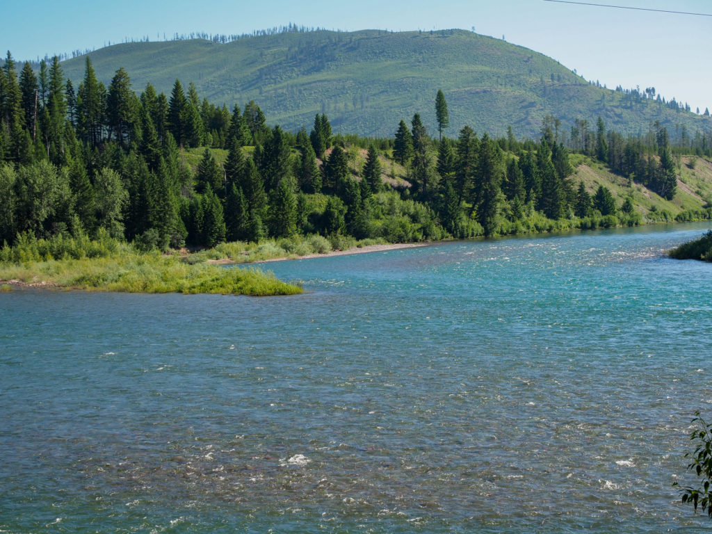
Middle Fork Flathead River. Really nice looking rive from the bridge

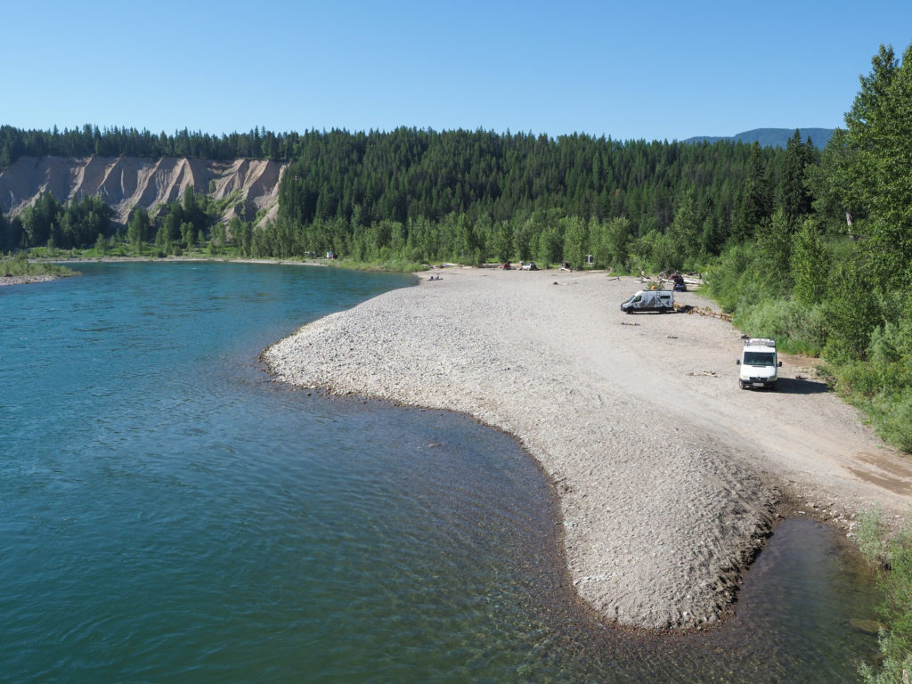
This went on to the next town of Columbia Falls where I turned onto another road, not a highway but pretty similar.  Now the headwind hit fierce.  Very strong, directly in my face. While riding my mind thinks about this blog and instagram, what do I want to say about the day.  My highlight and lowlight came to mind.  For highlight I thought I would write “absolutely nothing” but then the route made a right hand turn on a road now protected from the wind.  Very quite and scenic, the road eventually crossed the Middle Fork Flathead River where people were camped out on a sandbar. Really nice looking river.  The other side had lot of trucks with flatbed trailers for what I guess is a rafting launch or pickup point.  Eventually made my way to highway 2 which I will follow the rest of the way today and tomorrow.  Thankfully it began with an excellent bike path for a few miles up to the entrance to Glacier.

Middle Fork Flathead River. Nice place to camp.

I don’t think I mentioned the Northern Tier routes through this area.  The main route enters Glacier here in West Glacier and follows the Going-to-the-Sun road over Logan Pass which is supposed to be spectacular. I had considered doing this route when I started the trip but the road is very narrow and winding, built back in the 1930’s not for the volume of cars and size of RV’s we have now. An early start is required, cyclist can’t start after 11:00. Cyclists I met back in Republic, WA rode this route before it opened to vehicles.  They said it was fantastic but would never do it with traffic.  Their input along with the current heatwave and it’s just not happening.  I will follow the alternate route along highway 2 skirting the south side of the park and over Maria’s Pass on to East Glacier. 

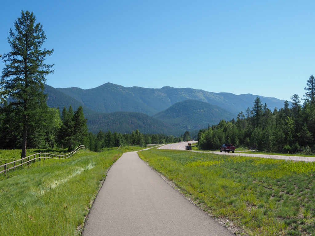
Welcomed bike path along highway 2 heading to West Glacier,MT

My ride was about 20 miles on highway 2 with a fair amount of traffic and of course the crazy Montana speed limit.  Again, thankfully many of the cars were out of state so traveling at reasonable speeds.  There were quite a few that slowed down on turns waiting to pass me rather than giving inches of clearance.  With a focus on finishing the day and not getting killed I tried to make good time through the area, not stopping for pictures.

Scenery along highway 2 heading out of West Glacier, MT

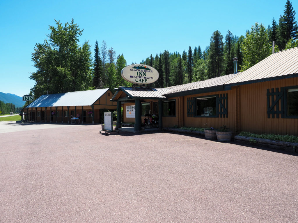
I made it to the Glacier Haven Inn by 1:00.  This night was “only” $150.  My room wasn’t ready when I arrived so I asked if the cafe was open, he said no it’s closed for renovation.  They advertise having a cafe which I was counting on for lunch and dinner, there’s nothing around here. There was no cell service in the area so while waiting I asked if I could get on their wifi.  No wifi. I eventually checked in to the room, figured I’d make a phone call to let people know where I am. No landline phone service here either. So now I really was off grid.

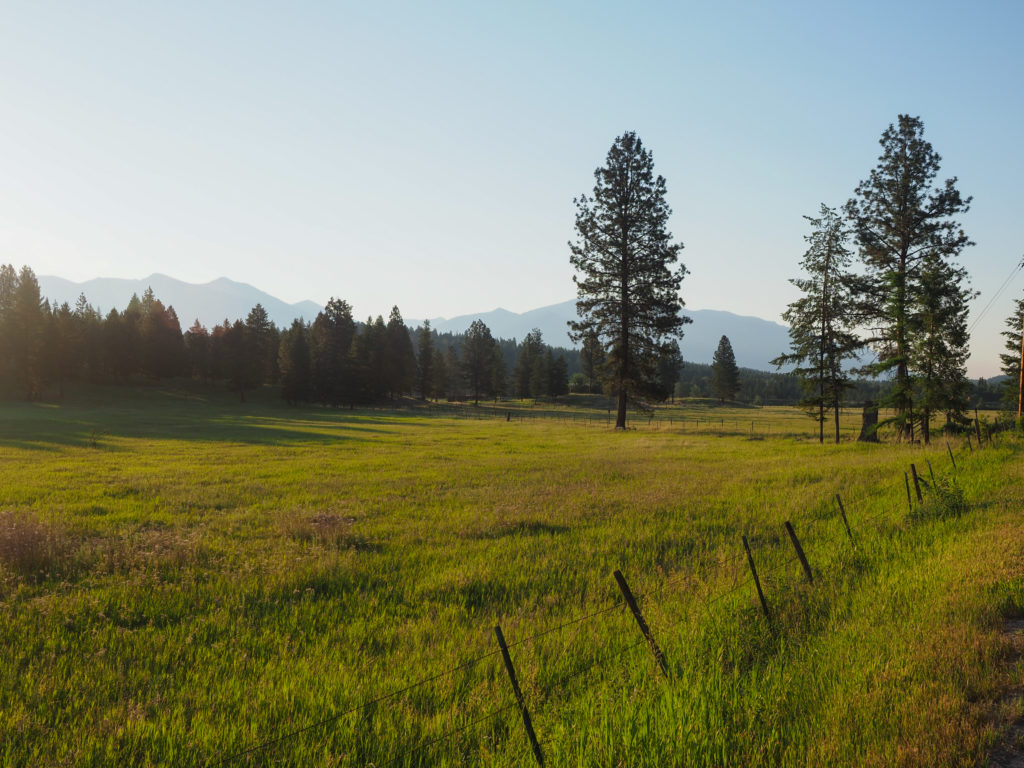
Looking towards the mountains in Glacier from highway 2.

I had a long afternoon and evening ahead of me.  I cooked up some oatmeal for lunch along with an energy bar.  For dinner I had my rice and sardines emergency meal.  This room does have a coffee maker, microwave, fridge and an ice machine.  Way better than the crappy $300 room last night.  Plus I had a can of wine in my bag so not all that bad.

My inn for the night in PInnacle, MT. In the middle of nowhere on highway 2.

Tomorrow I climb the last pass in the Rockies then start descending the eastern side, spending some of the climbing credit I earned peddling up to 5,000 feet.   Time to coast, so excited!

Day 14: June 29, Eureka, MT -> Whitefish, MT

Start: 6:15am

Finish: 12:10pm

Saddle time: 4:35

Ascent:  1,652 feet

Descent:  1,292 feet

Miles: 56.7

Total Miles: 735

Highlight:  Riding on a country road parallel to highway 93 for about 5-15 miles out of town. Quiet roads with large ranches.

Lowlight: Riding the last 5 miles on highway 93 into Whitefish, narrow, lots of fast moving traffic and poor road conditions

Cyclemeter:  Follow this link to see the data I’m collecting with the cyclemeter app. You can see gps information, speed, elevation, distance, cadence and heart rate. Better viewed on a computer where it’s easier to play around with the graphs.

Over the past few days I managed to accumulate too much food in my bags include a camp dinner I didn’t need consisting of canned chili and cooked rice. I had this for breakfast today partly to lighten my load but also to fuel me up for the day so I can get to Whitefish by noon without a food stop.  I got up at 5:30am which to my body is still 4:30am since I’ve only been in Montana a few days, had my breakfast feast and was on the road at 6:15am, not bad. Sunrise here is actually around 5:50am but the sun sits below the mountains until about 6:30am so 6:15am is still low light.

Downtown Eureka, MT in the early morning.

The route out took me into Eureka for the first time.  Yesterday I rode about a mile down the road to a supermarket for supplies and lunch, still not in the main downtown area which is really just a handful of buildings. They have some kind of historical village which would have been cool to checkout but it was too hot and too far away the past couple days.

Todays ride will take me on and off highway 93 all the way into Whitefish.  The first part was on a country road that winded through the area with many of short hills and turns.  I saw lots of deer. The environment looked very deer friendly.  The area was all pine forest but the ground was all covered with grass.  I found that combination interesting, not something we see back home.

Country road outside of Eureka, MT

Not surprising, this is Trump country.  I passed a number of properties decorated with Trump paraphernalia like a house would be decorated for Christmas or Halloween.  Lots of 2020 election signs.  Remember stories about Japanese soldier after WW2 in the south pacific who thought the war was still ongoing? Yes, that’s what’s happening here.   But remember how I said their internet connections out here aren’t all that great so maybe they just don’t know, or more likely they just watch too much Fox News.

Country road outside of Eureka, MT. Interesting grass under the pines

Another thing that has been bothering me is the Montana highways.  These are two lane roads with speed limits of 70mph, oh wait, it drops to 65 at night!  It’s insane, just not safe. These roads would be 45-55 back home. I know you think I’m looking at this from the perspective of a cyclist but it’s not safe for drivers either.  With the open landscape it’s difficult to judge speed and distance with oncoming traffic, hence the roadside crosses that tend to accumulate around intersections. Montana has one of the highest accident death rates in the country per capita.  They want think they live in this lightly populated big sky country with open plains and open roads.  Mostly bullshit.  Yes, lightly populated but there are few roads that go anywhere here so everyone is on the same roads.  They are not lightly traveled.  

Country road between Eureka and Whitefish Montana

I recall talking to a Montana state trooper years ago who said the speed limits had been set by politicians not the highway or police departments. Enough ranting about Montana.  There’s other stuff I could add but I’m not being a good traveler.  The reason for traveling is to see different things from back home and not judge, just observer but the highways are a safety issue.

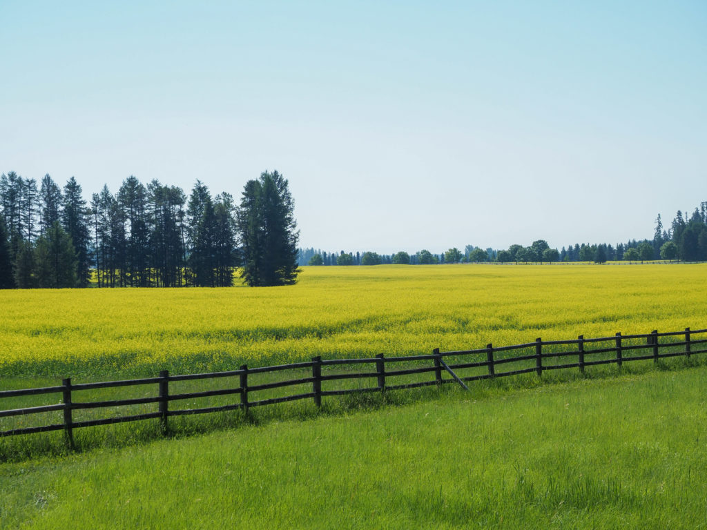
After the country road I joined 93 for a while then jumped off again on another parallel country road.  This area seemed like ranches for rich people.  Nice entryways and wood fences that are new or well taken care of.  Fields were full of grasses being harvested and horses from time to time.  There were large swaths of some kind of crop with a yellow flower.  Maybe Canola? Very colorful and contrasted nicely with the green grass and pine trees on the mountains in the distance.

Country road between Eureka and Whitefish Montana

The last five miles into Whitefish was a little scary.  The road was narrow, windy and what little shoulder it had was in poor condition. And of course the stupid 70 mph speed limit. Whitefish is a tourist town, a quick hop from Glacier National Park so thankful a good number of the drivers were from out of state and driving at fairly sane speeds, but still scary.

Country road between Eureka and Whitefish Montana

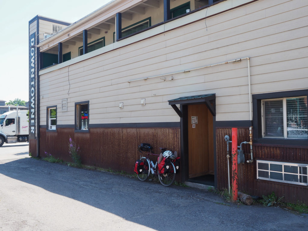
Made it to my motel around noon, the Downtowner.  Got the key and was directed around the other side of the building which looks like an alleyway.  Yes, that was the entrance to my $300 room, in an alley.  The room was fine, for $70/night.  I can’t complain too much.  It was clean, the bed was very comfortable and this is the Glacier area but they could put a little of that windfall back into the rooms.  For example, the room had a fridge but no coffee maker or hot water kettle.  Morning coffee may be a problem.  

Country road between Eureka and Whitefish Montana. Saw a lot of this yellow flowered crop. I read it may be Canola.

The location was great, right in downtown so I walked around a bit, had lunch and ice cream.  The main drag has all the shops with some overflow onto side streets.  It’s touristy but no outlet malls or anything like that.  Had a good “Thai pizza” for dinner (chicken, peanut sauce, red peppers, mandarin oranges, and cilantro) which was really good. Grabbed it as takeout along with a couple beers since I didn’t feel like sitting in another restaurant.

Country road between Eureka and Whitefish Montana. Ranches for rich people, I think.

Tomorrow should be an even shorter day than today but I’m still ready for bed by about 9:30.  I am glad I took a rest day, riding today did feel better.  So it is looking like I will require a rest day a week but we will see what my days are like when I get out of the mountains later this week.  Really looking forward to getting away from the Glacier area crowds,  the heat and the mountains. Time for a change.

My $300 night room in Whitefish,MT

Day 13: June 28, Rest Day Eureka, MT

Late yesterday I tried finding accommodations that would get me past Glacier NP over to East Glacier but I couldn’t find anything beyond Whitefish. I needed the rest day anyway.  I was feeling very worn out yesterday as the day went on. One of my concerns for this trip was the ability for my body to recover from day after day riding.  I’ve been running regularly for about thirty years but I’ve never been able to run daily, I just get run down, feel sore, and eventually develop injuries.  I can’t do more than about 4-5 days of running a week, and 5 is pushing it.  I had a very similar feeling yesterday as I did on day 5, thinking I really need a break.  Maybe that’s how this tour will work out for me, after 5 or 6 days I need to take a rest day or maybe my body will get used to it in time. 

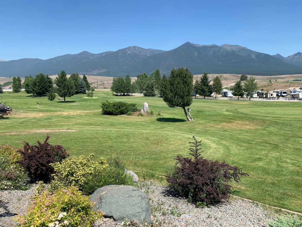
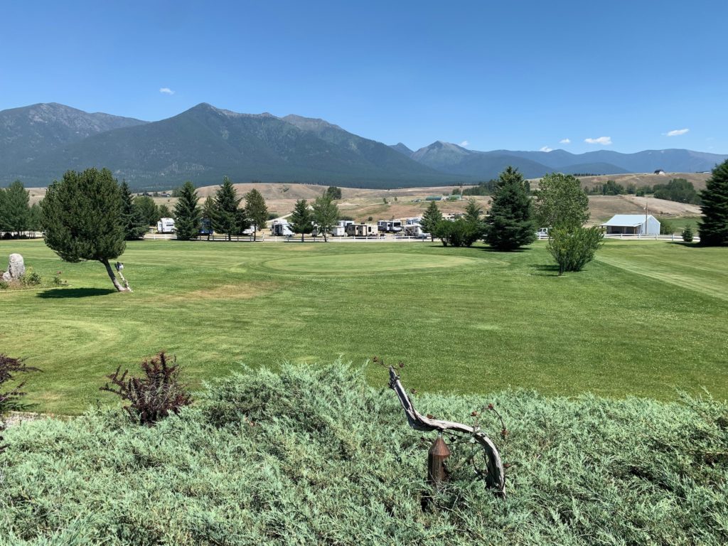
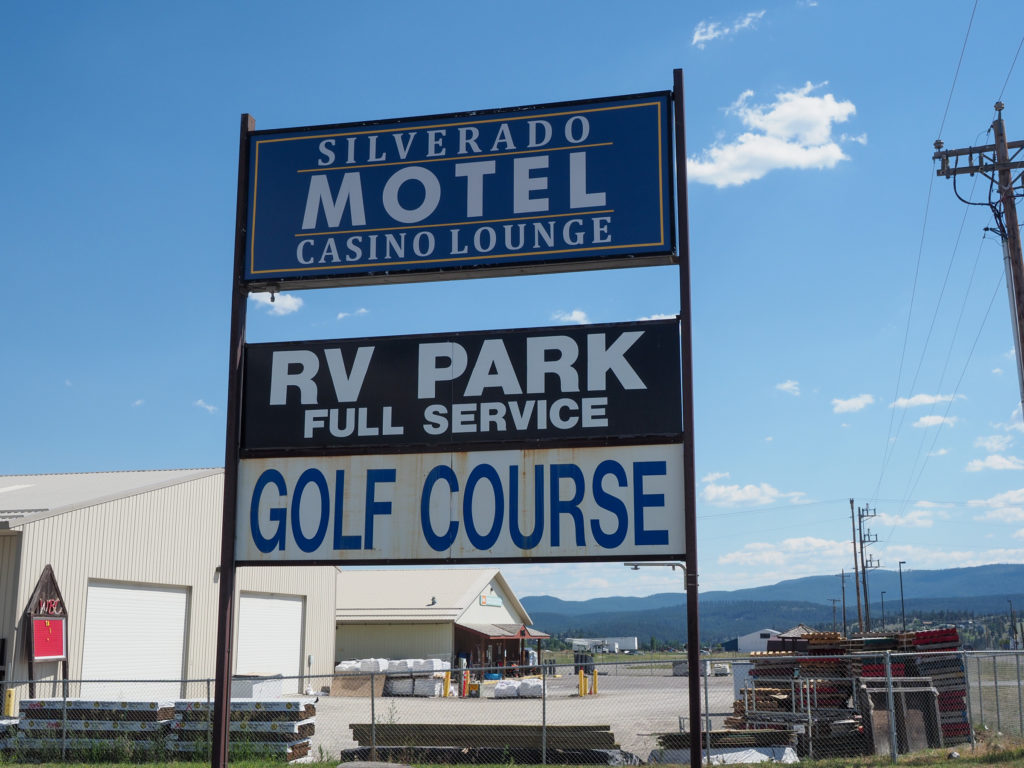
View from my motel in Eureka. They have an RV park and golf course.

I did expect pain and suffering for at least the first couple weeks as my body adapts.  I must say now at about 2 weeks I’m still not comfortable on the bike.  I’m on the verge of saddle sores even with the Chamois Butt’r.  Yes, for the non cyclists out there it’s exactly as it sounds.  Basically diaper rash cream for your ass on a bike.  Every ten minutes or so I have to stand off the saddle to give my butt a break.  My neck has been hurting, although that has been getting a little better.  I’m sure I’m stronger and can climb better but I really feel the fatigue of day after day riding.

After a big breakfast across the street I started to plan out the next few days.  I assumed my options were one of three.  First I could go off route and navigate around the Glacier area.  Adventure Cycling has other routes that criss cross this area. In their navigation app I bought one map segment that goes from Canada to Missoula.  I could head south from Whitefish towards Missoula then head east to join the Northern Tier in Great Fork. My first night out of Whitefish did’t look much better.

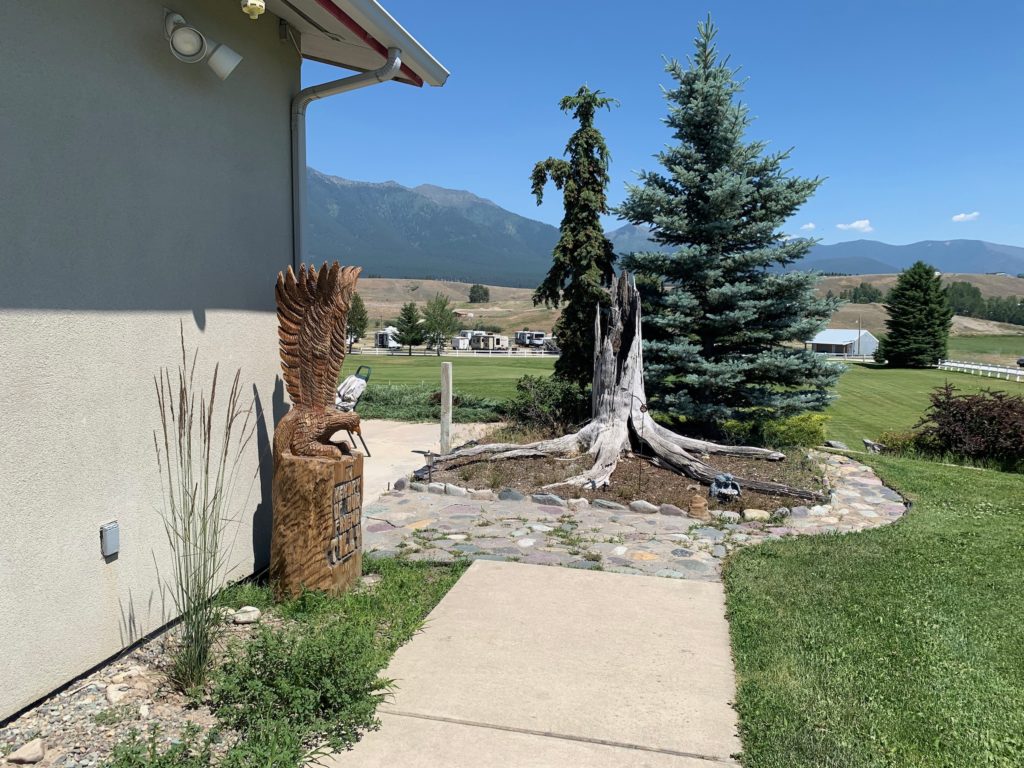
Side of my motel in Eureka

Second, I could just sit here at the Silverado until the heat passes. It would give my body time to heal and at $70/night I could stay in this place several days for the cost of one night in a room closer to Glacier and it’s not bad but five days from now the heat drops to only the high 90’s so not much better.  I would have to wait a full week until next Monday before temps drop to about 90 and that puts me right in a holiday weekend.

Behind my motel in Eureka. They have an RV park and golf course.

Third, I could rent a car and drive east past East Glacier, maybe 150 miles. This would get me away from the crowds and some of the heat but it’s my least favored option.  I’m out here to ride my bike across country, why not figure out a way to make that happen without any gaps.  Like my brother Will said, not like I’ll be late for work Monday, I have time to make this happen one way or another.

I knew Glacier would be crowded and expensive.  I didn’t plan any of this in advance because I didn’t know exactly when I would be here. My plan was to camp either in RV parks or the national park.  From what I understand the national parks won’t turn away hikers or bikers in their campgrounds because where are you going to go and all you need is a patch of land to setup a tent.  So that was my plan but I didn’t expect a 1,000 year heat wave. 

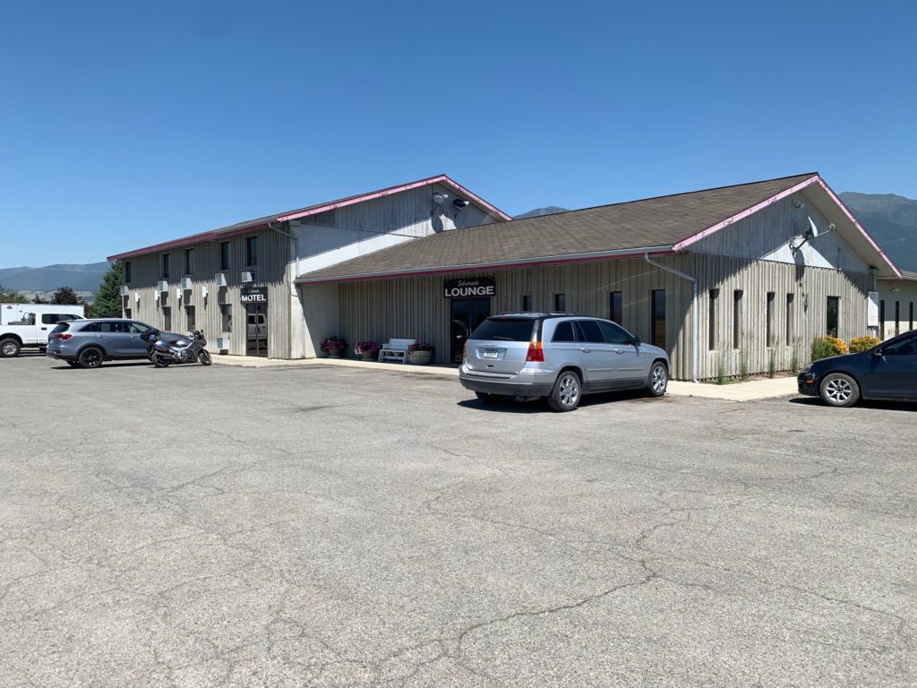
The Silverado Motel in Eureka.

I can find places in Whitefish, they are crazy expensive but at least indoors.  I’ve resigned myself to the fact that this will be an expensive few days. I really just want to get out of this area and the heat.  A normal year would likely mean a ride from the Whitefish area over to East Glacier, a distance of about 80 miles in one day but I don’t want to take on a ride that long in this heat especially since it include a modest pass.

With a little more digging on booking.com I found a place between Whitefish and East Glacier.  Booking said something like “good find, usually booked at this time”.   Perhaps a cancellation.  The location is Pinnacle, about 50 miles from Whitefish.  After that I would like another 50-60 mile day but the only room I can find is in East Glacier about 40 miles away.  It will have to do.

Day 12: June 27, Libby, MT -> Eureka, MT

Start: 7:00

Finish: 4:00

Ascent: 3,000+ feet

Miles: 80

Total Miles: 703

Highlight: Early morning ride with a father/son team I met along the way.

Lowlight: The heat, it’s getting to be all about the heat right now.

Cyclemeter:  My app died for a while so the data is incomplete.  You will see a line where it wasn’t recording.

Google has a limit of only 10 layers per map, each layer is one of my days so for no I’m only showing a map for todays ride until I figure out how to combine layers. Notice my wrong turn south out of Libby.

I have to admit I’m not enjoying this right now.  It’s all about the heat.  I’ve been building this belief in my mind that once I get over the continental divide things will get better.  I will be further east and a few days down the road so more out of the heat wave, I may start getting more tailwind rather than the regular headwind I experience daily, and the scenery will start to change.  I’ve about had enough of pine covered mountains, especially when I have to climb the damn things.  Time for a change.  Maybe the continental divide will not provide those changes but it keeps me going.

With a 75 mile day ahead of me and temperatures climbing up to about 100 I wanted to get an early start.  After my usual camp breakfast I noticed the supermarket next door was open at 6:00am so I went over to see if I could score some second breakfast, maybe a breakfast sandwich.  This delayed my start but better to eat now and not worry about finding food along the way, it looks pretty sparse down the route. 

Heading out of Libby, MT along the Kootenay River

While riding out about 7:00am I saw two cyclists stopped at the entrance to my campground, looked like a father and son team with the son about 16.  We said hi to each other and I kept rolling.  I was moving well and making good time so I looked at my navigation app to see where I was, off route again.  I missed a turn, had to double back 3 miles so added 6 to an already long day.

I met up with the two cyclists again, the sons name is Liam and his dad Bill.  I joked how I should have just followed them. Bill said he has his personal navigator, a teenager with a cellphone.  Can’t go wrong.  Bill did this ride over thirty years ago as a teenager with his uncle so now he’s sharing it with his son.  Great experience for both.  We ended up riding together for a good hour along a very quiet country road.  

Father and son team I briefly rode with Liam and his dad, from Seattle

The route splits to two northbound options on the south side of Lake Koocanusa, a huge lake created by Libby Damn, the east is the main route with an alternative route to the west.  I planned on taking the east while they wanted to take the west.  We were both heading to Eureka for the night so maybe we would meetup and compare routes.

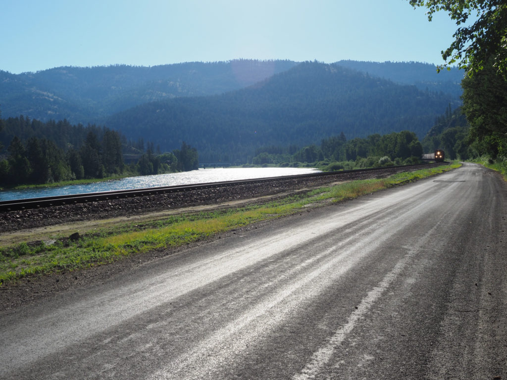
Riding along the Kootenay River and train track outside Libby, MT

My pain and suffering started almost immediately with a modest but steep climb up to the top of Libby Damn.  The damn was built in 1975 for hydroelectric power, backing up water for 90 miles extending into Canada.  I will ride about 50 miles along this lake. The road threads along the hillside with many up and down segments, largely totally exposed to the sun. The scenery is quit stunning with emerald colored water and views for miles up and down the lake, often from hundreds of feet above the water but today was more about what was going on in my head not the scenery. 

Libby Dam

I didn’t take many pictures, had the sole focus of reaching Eureka at a reasonable hour which I expected to be about 3:00, maybe sooner.  The sun sets late here so they don’t hit their highs until after 6:00.  Looking at the map there were are few campgrounds on the way so I should be able to resupply my water.  After about 11:00 it really started to get hot.  I’m trying to drink water regularly and monitor myself for signs of dehydration or heat exhaustion.  I’m really feeling tired on the climbs, especially after stopping, it takes my muscles some time to get back in working order.  I’m starting to feel like I did on day 5, battling the headwind where it became readily apparent that I need to take a rest day.  I really want to race this heat and get over the divide before taking a day off.

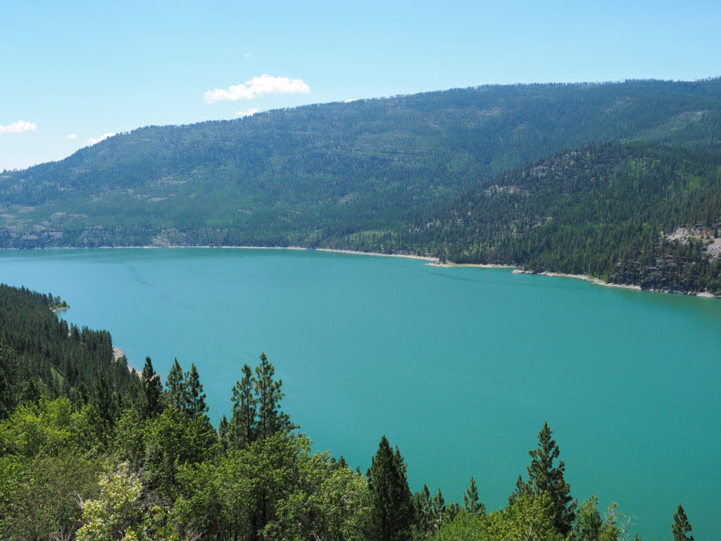
Looking down on Lake Koocanusa.

Around noon I stopped at a campground along the lake with very nice sites overlooking the water several hundred feet below. I had an energy bar and some trail mix, lots of water and refilled my bottles. I set off but temperature continued to climb and I continued to feel more run down.  I started using a little of my water to wet my head under my helmet which worked great keeping my head cool as I ride.  One advantage of riding as apposed to walking or running is the wind is your enemy and friend, although it slows you down it keeps you cool.  I got to the point where stopping was more uncomfortable than moving, just made me feel more hot.

Looking down on Lake Koocanusa.

I made it to the north end of the lake at the small town of Rexford where I hoped I could find a gas station for a cold drink and air conditioning. I didn’t see anything on the map and the turn towards the town was downhill so I didn’t want to explore.  I used a clean water tap at an RV dump site to fill my bottles and soak my head.  Only 5 miles to go.

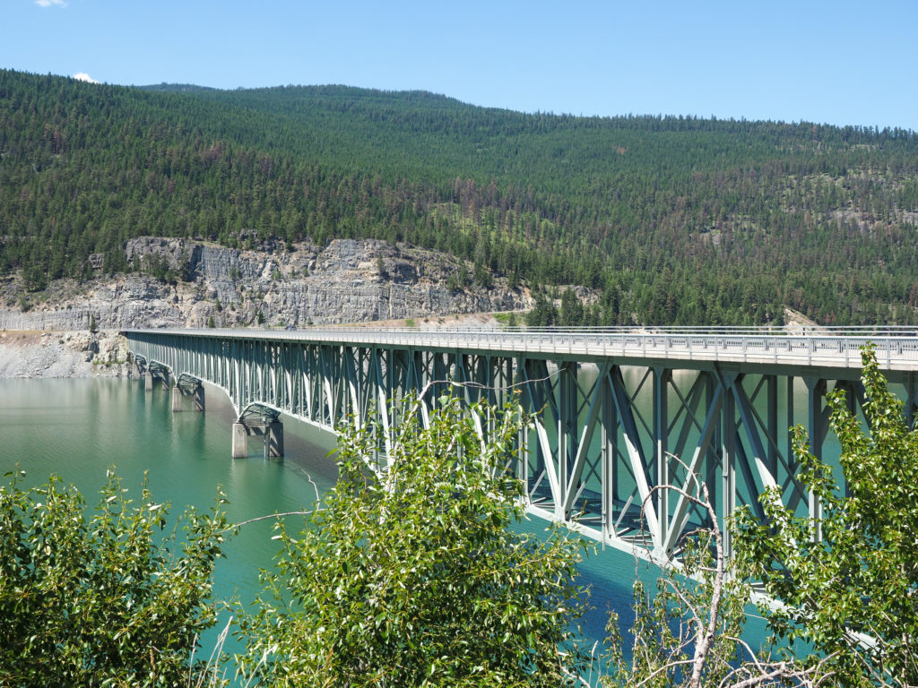
Bridge over Lake Koocanusa.

The road up to this point had  a decent shoulder although often not in good condition.  Most of the remaining 5 miles was on a narrow 2 lane road with little to no shoulder and drop offs on the edge.  If I go off the road I’m going to fall but if I swerve into the road I’ll get hit by a car.

I made it to Eureka about 4:00 but before going to my motel I stopped at a gas station for a gatorade and an ice cream sandwich.  The Silverado hotel was almost across the street, a perfectly fine place for $70/night.

Accommodations in Libby, MT

After showering I went back across to the gas station for a pre-dinner sandwich from Subway but they were closed.  While walking back I saw two bikes being unloaded from a pickup truck.  It was Bill and Liam.  I walked up and said “fancy seeing you here”. Bill said Liam had serious heat issues which I could tell from the bag of ice around his neck.  I told Liam I wondered if I would make it as well, often felt like I was on the verge of heat exhaustion.  If I was with them I likely would have taken the ride.

The heat today made it blatantly obvious that I need to be take this seriously and come up with a plan.  I can’t have another day like today especially with temperatures expected to climb even higher.  I need to plan out motel stays for at least the next three days with short rides but my initial searches are turning up empty.  I see no way to follow the route as planned beyond the next town, Whitefish. I don’t want to continue without reservations so I really need to take a rest day to figure this out.  My body was definitely failing as the day went on so maybe I need a rest day anyway.